| Memorials | : | 150 |
| Location | : | Pine Knob, Grayson County, USA |
| Coordinate | : | 37.5386009, -86.4785995 |
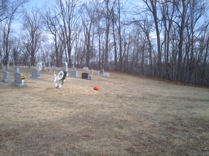
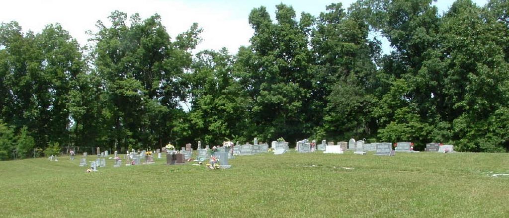
| Description | : | Linda Russell (#47074147) Deweese Cemetery in Pine Knob is listed on here as the James M. Deweese Cemetery, but the actual name is the Ann Mariah Shain Deweese Cemetery. James was the first person buried in the Cemetery which was on his and Mariah's farm. A few years after his death Mariah deeded the property for the Cemetery to the Family and Friends of the Pine Knob Community. I am releated to just about everyone that is buried in this cemetery in one way or another. I also am the President of the Board of Directors for the Cemetery. If anyone... Read More |
frequently asked questions (FAQ):
-
Where is Ann Mariah Shain Deweese Cemetery?
Ann Mariah Shain Deweese Cemetery is located at Pine Knob, Grayson County ,Kentucky ,USA.
-
Ann Mariah Shain Deweese Cemetery cemetery's updated grave count on graveviews.com?
148 memorials
-
Where are the coordinates of the Ann Mariah Shain Deweese Cemetery?
Latitude: 37.5386009
Longitude: -86.4785995
Nearby Cemetories:
1. Lahue-Bradshaw Cemetery
Grayson County, USA
Coordinate: 37.5494003, -86.4878006
2. Short Creek Missionary Baptist Cemetery
Short Creek, Grayson County, USA
Coordinate: 37.5297260, -86.4554560
3. Shain Cemetery
Short Creek, Grayson County, USA
Coordinate: 37.5175018, -86.4646988
4. Concord Church Cemetery
Concord, Grayson County, USA
Coordinate: 37.5607014, -86.4606095
5. Pilgrim Missionary Baptist Cemetery
Duff, Grayson County, USA
Coordinate: 37.5509300, -86.4426700
6. Shady Grove Cemetery
Grayson County, USA
Coordinate: 37.5603228, -86.5071411
7. Beauchamp Family Cemetery
Falls of Rough, Grayson County, USA
Coordinate: 37.5689090, -86.4900950
8. Blain Family Cemetery
Short Creek, Grayson County, USA
Coordinate: 37.5731000, -86.5098000
9. Edwards Family Cemetery
Short Creek, Grayson County, USA
Coordinate: 37.5387410, -86.5450930
10. Duff Community Church Cemetery
Duff, Grayson County, USA
Coordinate: 37.5502940, -86.4134360
11. Patterson Cemetery
Grayson County, USA
Coordinate: 37.5297012, -86.5457993
12. Allen Cemetery
Grayson County, USA
Coordinate: 37.5741400, -86.5316300
13. Lone Star Cemetery
Falls of Rough, Grayson County, USA
Coordinate: 37.5929000, -86.5053000
14. New Hope Baptist Church Cemetery
Short Creek, Grayson County, USA
Coordinate: 37.4798000, -86.4749100
15. Prewitt Cemetery
Grayson County, USA
Coordinate: 37.5038986, -86.4124985
16. Payton Cemetery
Grayson County, USA
Coordinate: 37.5497017, -86.5599976
17. Smith Cemetery
Grayson County, USA
Coordinate: 37.5477982, -86.5674973
18. Hopewell Cemetery
Caneyville, Grayson County, USA
Coordinate: 37.4827560, -86.4171620
19. Porter Cemetery
Grayson County, USA
Coordinate: 37.5391998, -86.5761032
20. Sapp Cemetery
Caneyville, Grayson County, USA
Coordinate: 37.4626700, -86.4574400
21. Eskridge Cemetery
Leitchfield, Grayson County, USA
Coordinate: 37.6153000, -86.5080000
22. Taylor Cemetery
Leitchfield, Grayson County, USA
Coordinate: 37.5155810, -86.3760780
23. Little Clifty Baptist Church Cemetery
Leitchfield, Grayson County, USA
Coordinate: 37.5401050, -86.3687800
24. Miller Cemetery
Caneyville, Grayson County, USA
Coordinate: 37.4515080, -86.4636111


