
| Memorials | : | 0 |
| Location | : | Table Rock, Pawnee County, USA |
| Coordinate | : | 40.1310000, -96.0854000 |
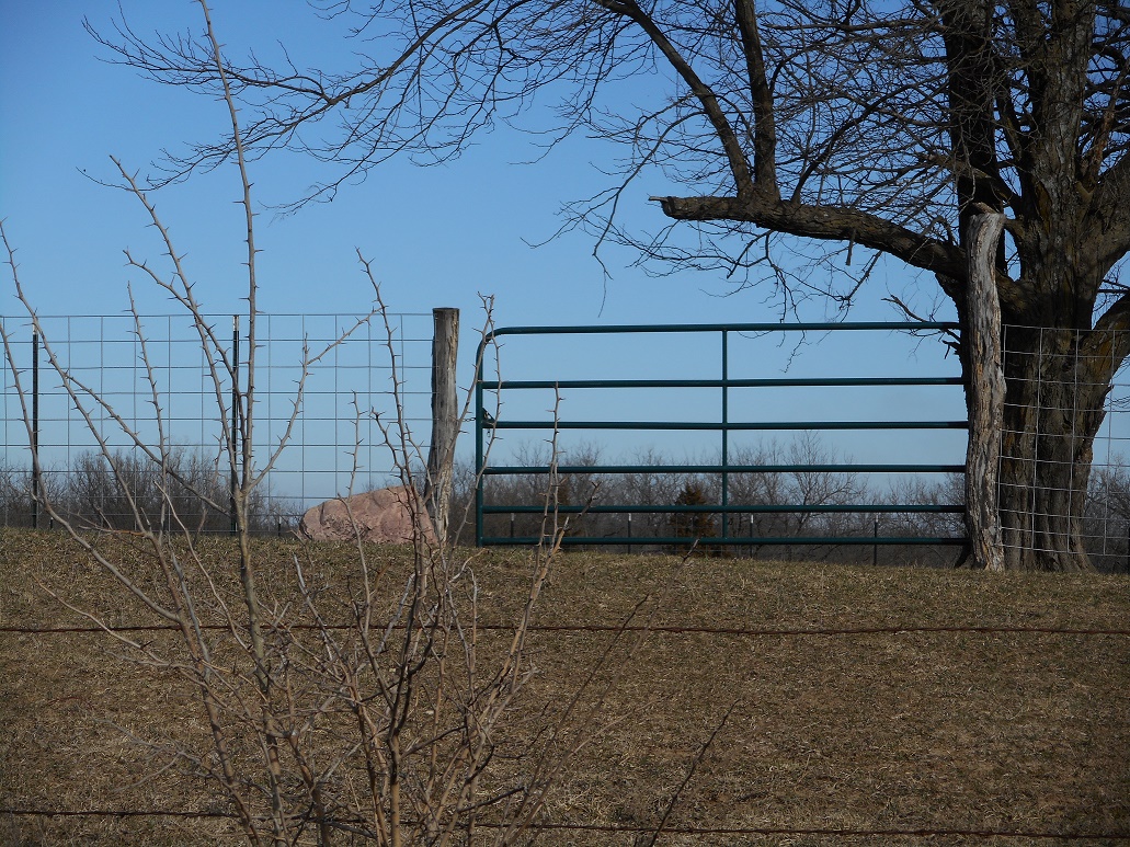
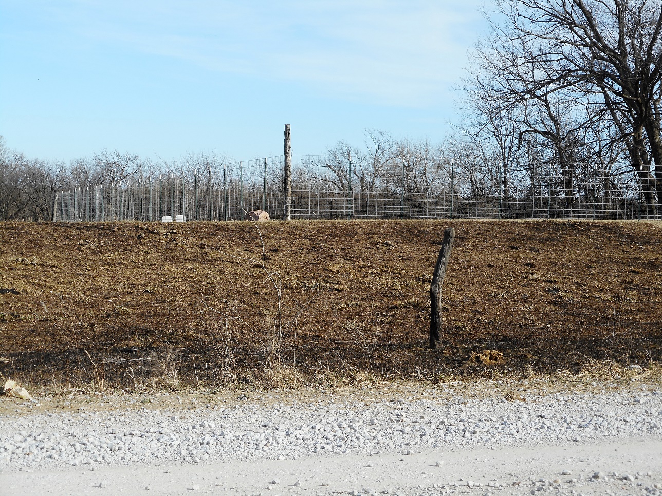
| Description | : | This cemetery was established in 2013, south of Table Rock on 626 Ave. The legal description is: 88' x 130' TRCT IN SW1/ SW1/4 .26 AC 16-2-12 S-T-R" 16-02-12 Acres: 0.250 Ownership History- Yoder/Eli M. & Adel E. |
frequently asked questions (FAQ):
-
Where is East Amish Cemetery?
East Amish Cemetery is located at Table Rock, Pawnee County ,Nebraska ,USA.
-
East Amish Cemetery cemetery's updated grave count on graveviews.com?
0 memorials
-
Where are the coordinates of the East Amish Cemetery?
Latitude: 40.1310000
Longitude: -96.0854000
Nearby Cemetories:
1. Table Rock Cemetery
Table Rock, Pawnee County, USA
Coordinate: 40.1791400, -96.1037400
2. Dry Branch Pioneer Cemetery
Richardson County, USA
Coordinate: 40.1292000, -96.0100021
3. Bohemian Cemetery
Table Rock, Pawnee County, USA
Coordinate: 40.1786003, -96.0374985
4. Pawnee City Cemetery
Pawnee City, Pawnee County, USA
Coordinate: 40.1109009, -96.1608810
5. Bohemian Cemetery
Richardson County, USA
Coordinate: 40.1175003, -95.9955978
6. Saint Johns Cemetery
Table Rock, Pawnee County, USA
Coordinate: 40.2148000, -96.0657000
7. Evergreen Cemetery
Pawnee County, USA
Coordinate: 40.0485992, -96.1417007
8. Beranek Cemetery
Table Rock, Pawnee County, USA
Coordinate: 40.2042007, -96.1607971
9. Clear Creek Cemetery
Table Rock, Pawnee County, USA
Coordinate: 40.2193985, -96.1391983
10. Humboldt Cemetery
Humboldt, Richardson County, USA
Coordinate: 40.1610985, -95.9578018
11. Prairie Star Pioneer Cemetery
Du Bois, Pawnee County, USA
Coordinate: 40.0293000, -96.1041000
12. Longbranch Cemetery
Humboldt, Richardson County, USA
Coordinate: 40.1996000, -95.9740000
13. DuBois Cemetery
Du Bois, Pawnee County, USA
Coordinate: 40.0231018, -96.0488968
14. Pleasant Valley Cemetery
Pawnee County, USA
Coordinate: 40.0299988, -96.1554794
15. Athens Cemetery
Richardson County, USA
Coordinate: 40.0449982, -95.9852982
16. Standerford Cemetery
Humboldt, Richardson County, USA
Coordinate: 40.2110000, -95.9656000
17. Pleasant Ridge Cemetery
Du Bois, Pawnee County, USA
Coordinate: 40.0156000, -96.1494000
18. Saint Anthonys Cemetery
Steinauer, Pawnee County, USA
Coordinate: 40.2075005, -96.2189026
19. Four Mile Cemetery
Humboldt, Richardson County, USA
Coordinate: 40.0589000, -95.9455000
20. Saint Peters Evangelican Cemetery
Du Bois, Pawnee County, USA
Coordinate: 40.0010000, -96.1095000
21. Cincinnati Cemetery
Du Bois, Pawnee County, USA
Coordinate: 40.0042000, -96.0274963
22. Lynchburg Cemetery
Humboldt, Richardson County, USA
Coordinate: 40.1306000, -95.9068985
23. Friedens United Church of Christ Cemetery
Bern, Nemaha County, USA
Coordinate: 39.9929008, -96.0529480
24. Saint Peters Lutheran Church Cemetery
Steinauer, Pawnee County, USA
Coordinate: 40.2555000, -96.1801000