
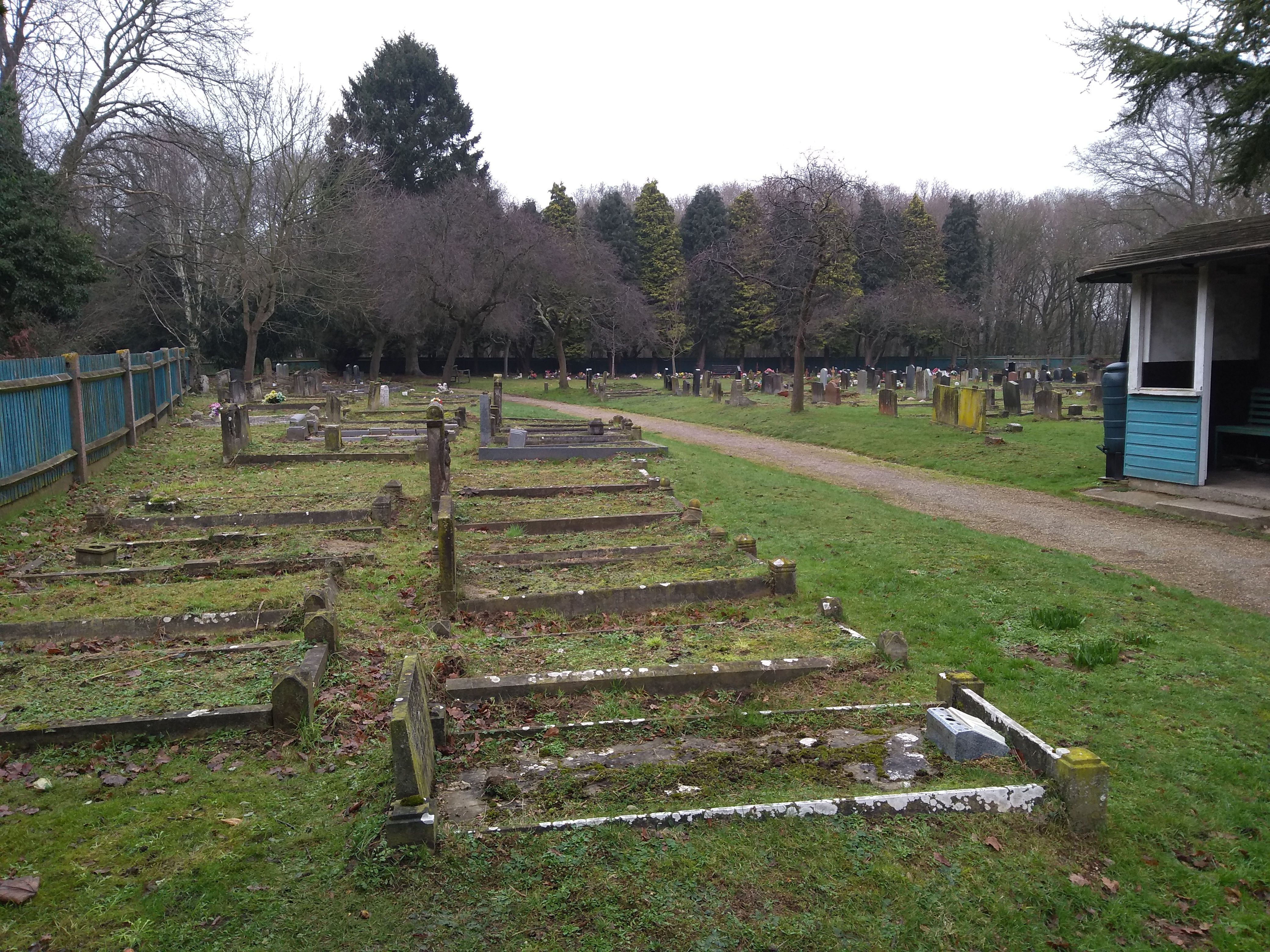
| Memorials | : | 31 |
| Location | : | Fingringhoe, Colchester Borough, England |
| Phone | : | 44 1206 729200 |
| Coordinate | : | 51.8527840, 0.9378370 |
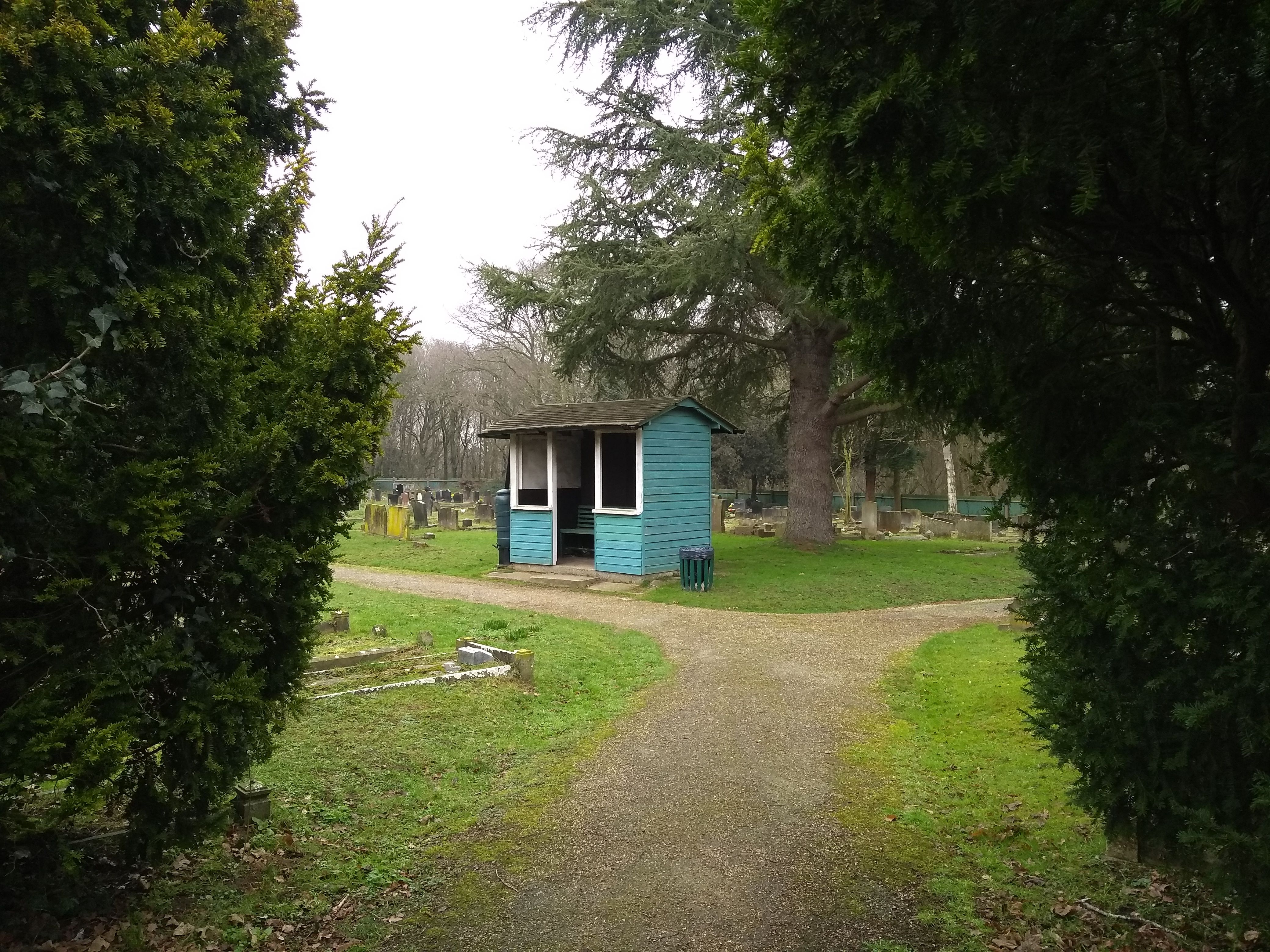
| Description | : | Municipal burial ground owned and managed by East Donyland Parish Council. It is adjacent to the churchyard of the former church of St Lawrence, East Donyland, which was demolished in the late 1830s and replaced by one in Rowhedge village. |
frequently asked questions (FAQ):
-
Where is East Donyland Parish Cemetery?
East Donyland Parish Cemetery is located at Furneaux Lane Fingringhoe, Colchester Borough ,Essex ,England.
-
East Donyland Parish Cemetery cemetery's updated grave count on graveviews.com?
31 memorials
-
Where are the coordinates of the East Donyland Parish Cemetery?
Latitude: 51.8527840
Longitude: 0.9378370
Nearby Cemetories:
1. Old St. Lawrence Churchyard
East Donyland, Colchester Borough, England
Coordinate: 51.8525110, 0.9383250
2. St. Lawrence Churchyard
East Donyland, Colchester Borough, England
Coordinate: 51.8556150, 0.9462830
3. St. Andrew's Churchyard
Fingringhoe, Colchester Borough, England
Coordinate: 51.8452150, 0.9451480
4. St. Mary the Virgin Churchyard
Wivenhoe, Colchester Borough, England
Coordinate: 51.8550794, 0.9594897
5. Wivenhoe Cemetery
Wivenhoe, Colchester Borough, England
Coordinate: 51.8616700, 0.9654580
6. St Michael's Churchyard
Berechurch, Colchester Borough, England
Coordinate: 51.8600000, 0.8926000
7. St Andrew Churchyard
Abberton, Colchester Borough, England
Coordinate: 51.8373460, 0.8978390
8. Colchester Cemetery and Crematorium
Colchester, Colchester Borough, England
Coordinate: 51.8762970, 0.9082550
9. St Leonard at the Hythe churchyard
Colchester, Colchester Borough, England
Coordinate: 51.8845600, 0.9231700
10. Saint Andrews Churchyard
Colchester, Colchester Borough, England
Coordinate: 51.8866780, 0.9328420
11. St. James the Great Churchyard
Colchester, Colchester Borough, England
Coordinate: 51.8896830, 0.9071770
12. Natural history museum (All Saints church )
Colchester Borough, England
Coordinate: 51.8894590, 0.9039440
13. Holy Trinity Church
Colchester, Colchester Borough, England
Coordinate: 51.8888530, 0.8994220
14. St Mary The Virgin Churchyard
Peldon, Colchester Borough, England
Coordinate: 51.8141000, 0.8852800
15. All Saints Churchyard
Shrub End, Colchester Borough, England
Coordinate: 51.8722400, 0.8607000
16. All Saints with St. James Churchyard
Brightlingsea, Tendring District, England
Coordinate: 51.8285070, 1.0130530
17. Frating Churchyard
Frating, Tendring District, England
Coordinate: 51.8607700, 1.0225800
18. St John's Abbey
Colchester, Colchester Borough, England
Coordinate: 51.9026780, 0.8978050
19. St John the Baptist Churchyard
Layer de la Haye, Colchester Borough, England
Coordinate: 51.8361820, 0.8505660
20. St Anne & St Lawrence Churchyard
Elmstead Market, Colchester Borough, England
Coordinate: 51.8943250, 0.9998200
21. St. John Churchyard
Colchester, Colchester Borough, England
Coordinate: 51.9111950, 0.9285970
22. St Leonard's Churchyard
Lexden, Colchester Borough, England
Coordinate: 51.8895800, 0.8633820
23. St Michael's churchyard
Colchester Borough, England
Coordinate: 51.9107874, 0.8918244
24. St Edmund Churchyard
East Mersea, Colchester Borough, England
Coordinate: 51.7886840, 0.9723200