
| Memorials | : | 44 |
| Location | : | Minerva, Stark County, USA |
| Coordinate | : | 40.7289009, -81.0960999 |
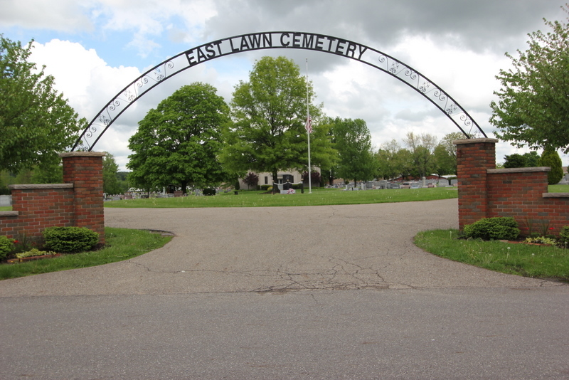
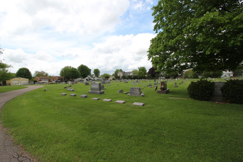
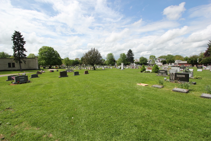
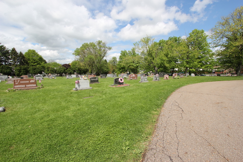
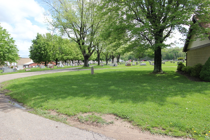
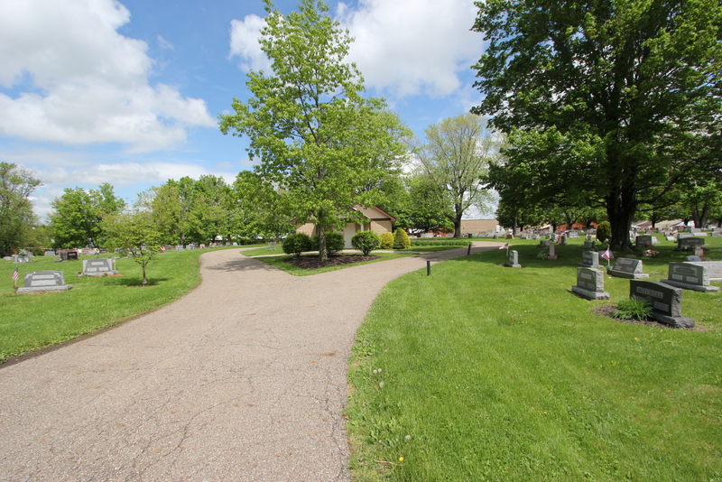
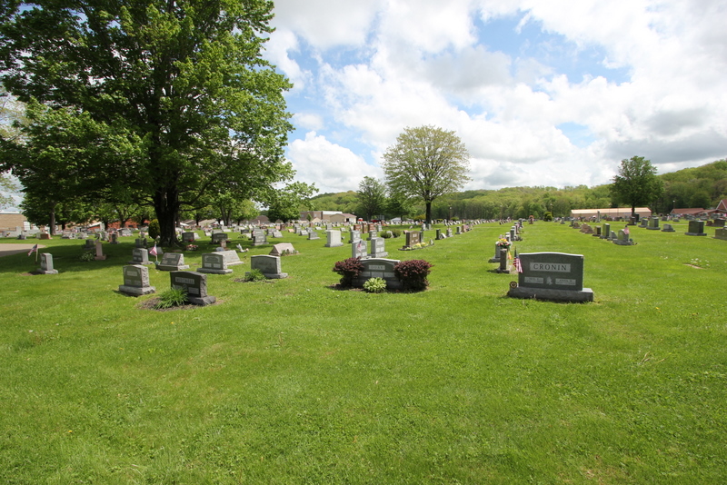
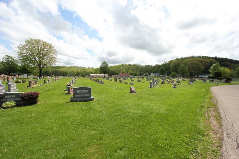
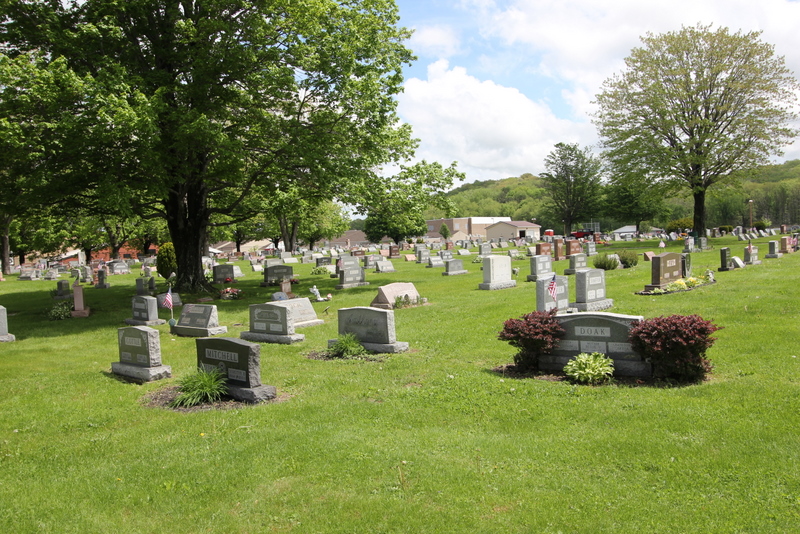
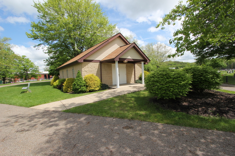
| Description | : | The cemetery is located on the north side of East Line Street / Major Road NW with its entrance about 425 feet east of the intersection of East Line Street and Bonnieview Avenue The cemetery is located in the village of Minerva, Paris Township, Stark County, Ohio, and is # 11373 (East Lawn Cemetery / West Lawn Cemetery) in “Ohio Cemeteries 1803-2003”, compiled by the Ohio Genealogical Society. The cemetery is registered with the Ohio Division of Real Estate and Professional Licensing (ODRE) as the East Lawn Cemetery with registration license number CGR.0000980441. The U.S. Geological Survey... Read More |
frequently asked questions (FAQ):
-
Where is East Lawn Cemetery?
East Lawn Cemetery is located at East Line Street / Major Road NW Minerva, Stark County ,Ohio , 44657USA.
-
East Lawn Cemetery cemetery's updated grave count on graveviews.com?
41 memorials
-
Where are the coordinates of the East Lawn Cemetery?
Latitude: 40.7289009
Longitude: -81.0960999
Nearby Cemetories:
1. Valley Street Cemetery
Carroll County, USA
Coordinate: 40.7248001, -81.1065979
2. Plaines Cemetery
West Township, Columbiana County, USA
Coordinate: 40.7419270, -81.0762320
3. Heritage Memorial Gardens
Paris Township, Stark County, USA
Coordinate: 40.7498016, -81.0898972
4. Pekin Burial Ground
Pekin, Carroll County, USA
Coordinate: 40.7170380, -81.1254630
5. Pekin Cemetery
Pekin, Carroll County, USA
Coordinate: 40.7158940, -81.1308110
6. Bever Cemetery
Carroll County, USA
Coordinate: 40.7117004, -81.1414032
7. Moore Cemetery
Augusta, Carroll County, USA
Coordinate: 40.7064018, -81.0539017
8. Walker Cemetery
Stark County, USA
Coordinate: 40.7677994, -81.0903015
9. Slagle Cemetery
Paris, Stark County, USA
Coordinate: 40.7428017, -81.1449966
10. Liberty Cemetery
Minerva, Stark County, USA
Coordinate: 40.7290001, -81.1529999
11. Mount Zion Cemetery
Augusta, Carroll County, USA
Coordinate: 40.6982994, -81.0492020
12. Edwards Cemetery
West Township, Columbiana County, USA
Coordinate: 40.7672005, -81.0558014
13. Chestnut Knob Cemetery
Carroll County, USA
Coordinate: 40.6772003, -81.0886002
14. Bethlehem Cemetery
Malvern, Carroll County, USA
Coordinate: 40.6925011, -81.1588974
15. Christian Fellowship Amish Mennonite Cemetery
West Township, Columbiana County, USA
Coordinate: 40.7638016, -81.0315018
16. Devils Half Acre Cemetery
Oneida, Carroll County, USA
Coordinate: 40.6697006, -81.1235962
17. Pattersonville Presbyterian Cemetery
Augusta, Carroll County, USA
Coordinate: 40.6845047, -81.0367607
18. Quaker Ridge Cemetery
Carroll County, USA
Coordinate: 40.7268982, -81.0119019
19. Still Fork Church Cemetery
Carroll County, USA
Coordinate: 40.6719017, -81.0505981
20. Stillfork Cemetery
Augusta, Carroll County, USA
Coordinate: 40.6720050, -81.0503730
21. Bird Cemetery
Carroll County, USA
Coordinate: 40.6761017, -81.0406036
22. Augusta Christian Church Cemetery
Augusta, Carroll County, USA
Coordinate: 40.6880989, -81.0211029
23. New Franklin Cemetery
Stark County, USA
Coordinate: 40.7989998, -81.0930023
24. Pleasant Grove Cemetery
Carroll County, USA
Coordinate: 40.6589012, -81.1089020