
| Memorials | : | 10079 |
| Location | : | Sacramento, Sacramento County, USA |
| Phone | : | (916) 732-2000 |
| Website | : | www.eastlawn.com/ |
| Coordinate | : | 38.5612960, -121.4492760 |
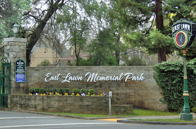
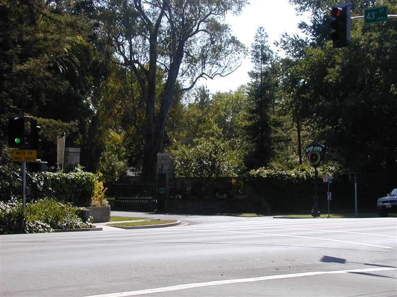
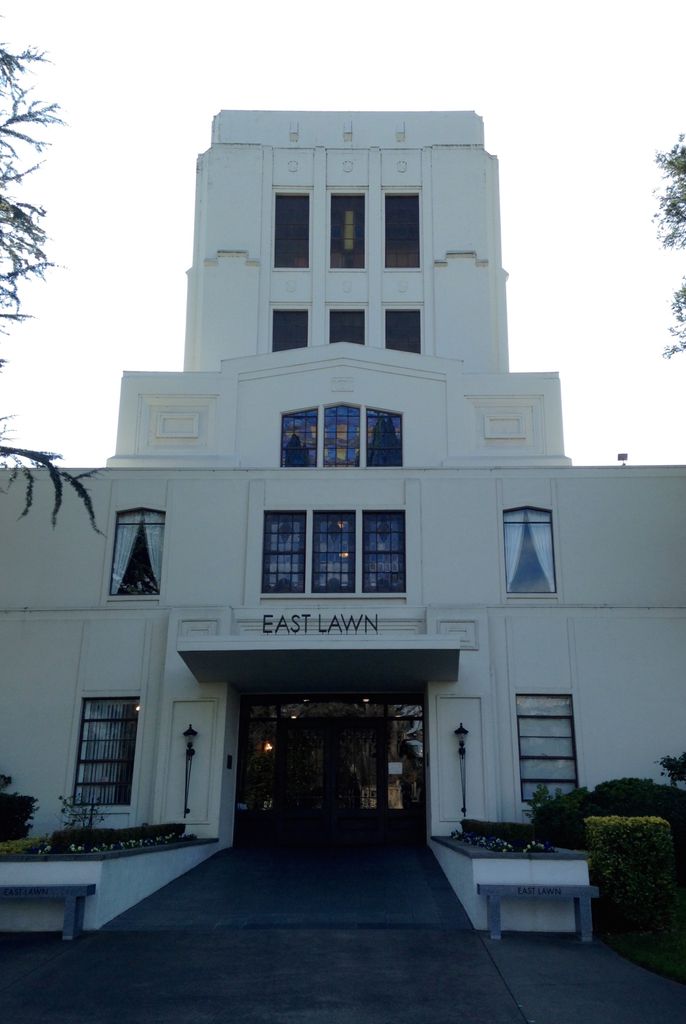
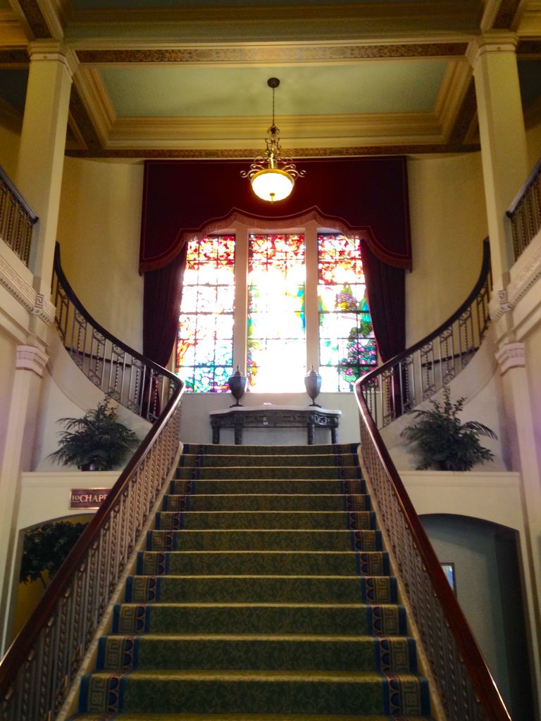
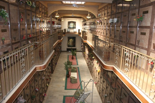
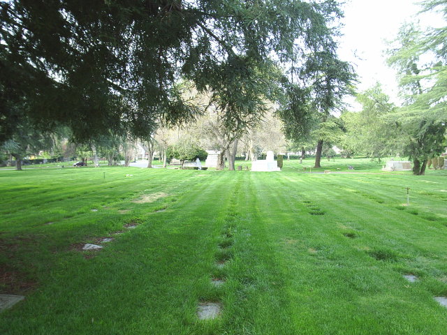
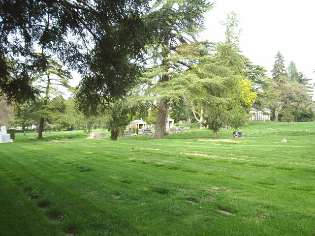
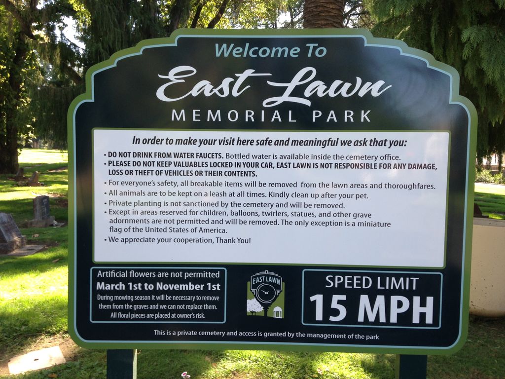
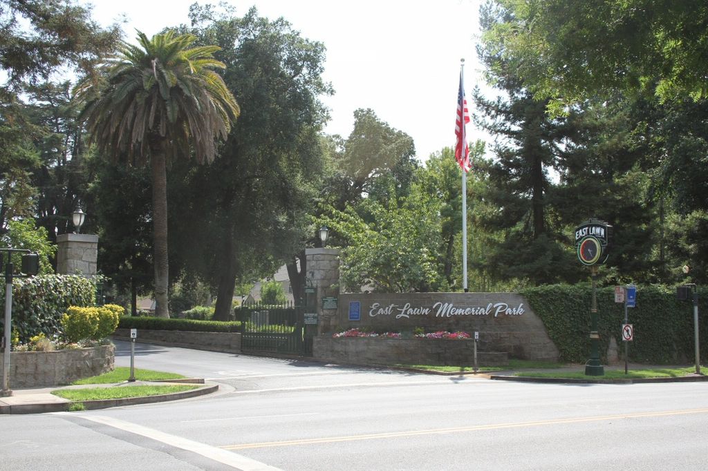
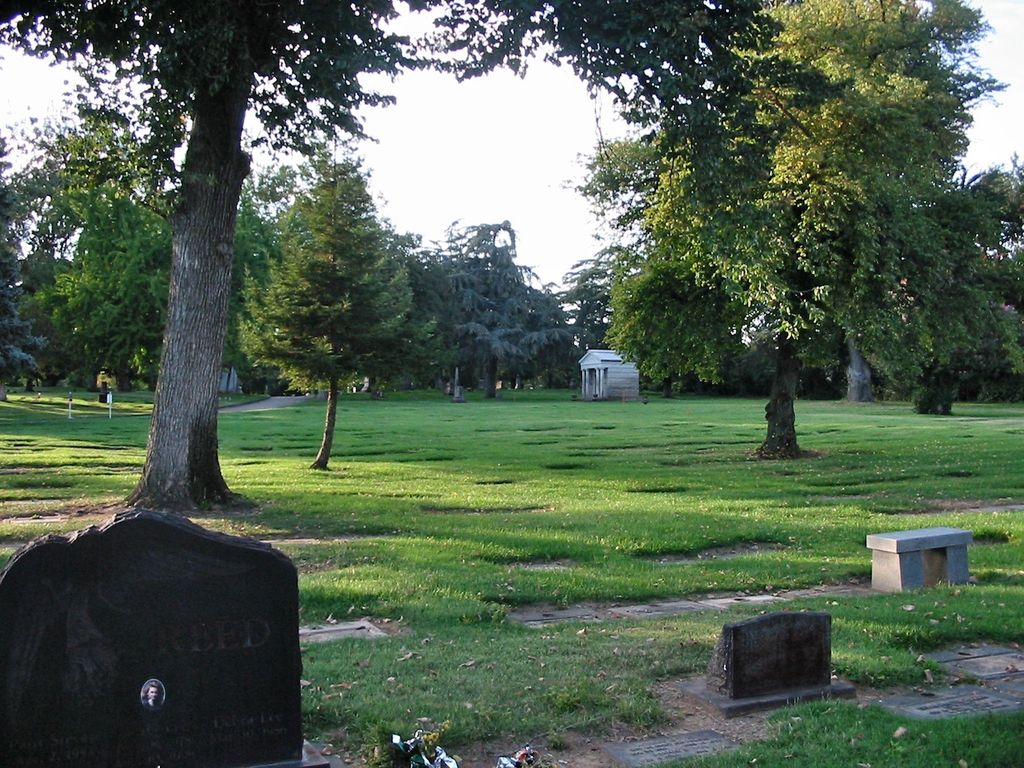
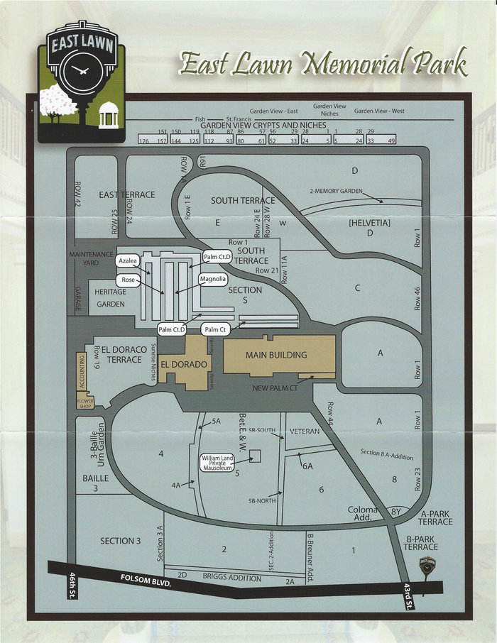
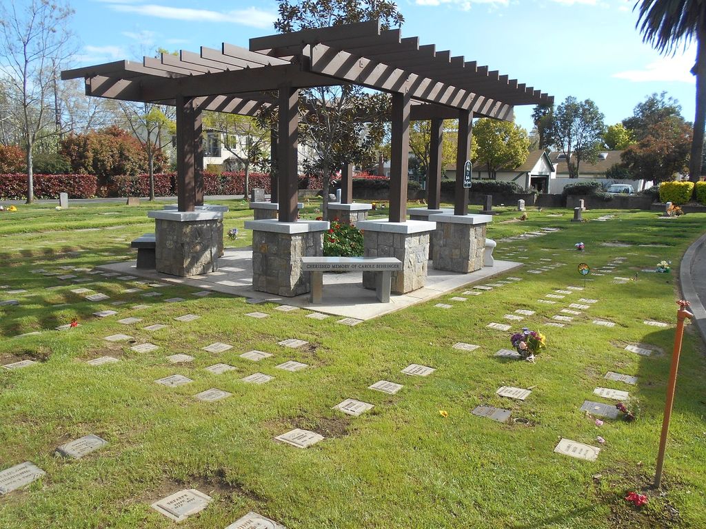
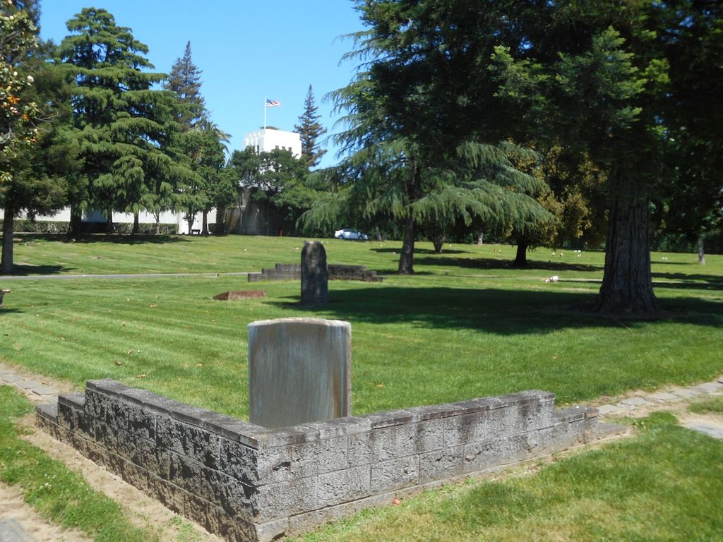
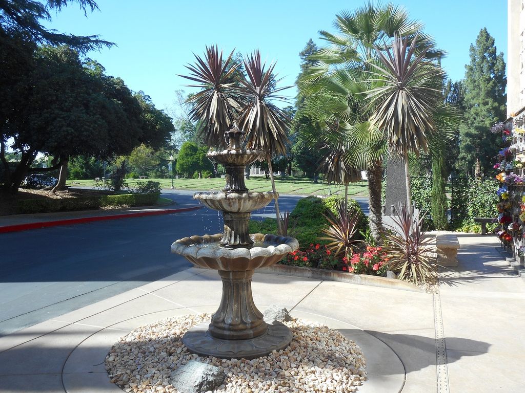
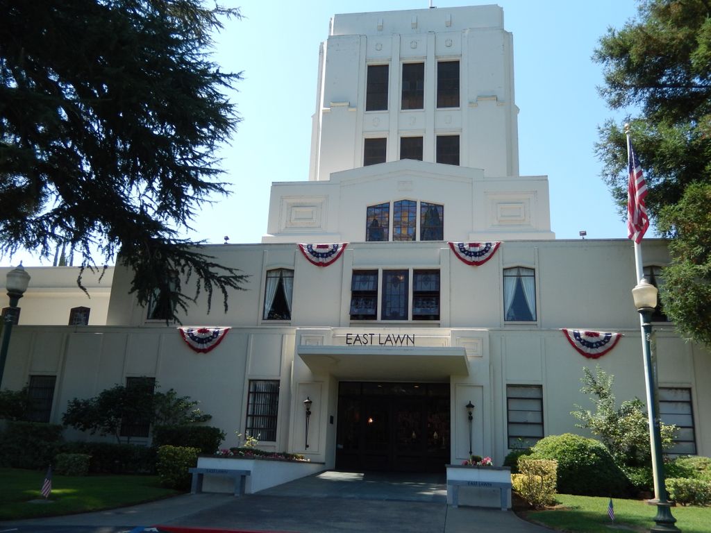
| Description | : | East Lawn Memorial Park was once a country farm on the outskirts of Sacramento. When it opened for business as a cemetery in 1904, many sightseers came to marvel at the park-like area of over 40 acres that would serve as the final resting place for generations of northern Californians. To date, over 100,000 people have been laid to rest at East Lawn during its 110+ years of operation. Many burials (4,000-5,000) from one of the earliest Sacramento cemeteries, New Helvetia Cemetery (Old Sutter Burying Ground), were removed from that site (now the location of Sutter Middle School) and re-interred... Read More |
frequently asked questions (FAQ):
-
Where is East Lawn Memorial Park?
East Lawn Memorial Park is located at 4300 Folsom Boulevard Sacramento, Sacramento County ,California , 95819USA.
-
East Lawn Memorial Park cemetery's updated grave count on graveviews.com?
454 memorials
-
Where are the coordinates of the East Lawn Memorial Park?
Latitude: 38.5612960
Longitude: -121.4492760

Nearby Cemetories:
1. New Helvetia Cemetery (Defunct)
Sacramento, Sacramento County, USA
Coordinate: 38.5731600, -121.4639900
2. Trinity Episcopal Cathedral Columbarium
Sacramento, Sacramento County, USA
Coordinate: 38.5705500, -121.4723770
3. Saint Joseph Cemetery
Sacramento, Sacramento County, USA
Coordinate: 38.5574989, -121.4835968
4. Pho Minh Temple Columbarium
Sacramento, Sacramento County, USA
Coordinate: 38.5340100, -121.4769000
5. Saint Mary's Catholic Cemetery and Mausoleum
Sacramento, Sacramento County, USA
Coordinate: 38.5298900, -121.4261200
6. California State Capitol
Sacramento, Sacramento County, USA
Coordinate: 38.5760994, -121.4931488
7. Sacramento County Hospital Cemetery
Sacramento, Sacramento County, USA
Coordinate: 38.5289300, -121.4239100
8. Buddhist Church of Sacramento Nokotsudo
Sacramento, Sacramento County, USA
Coordinate: 38.5639300, -121.4978400
9. Russian Orthodox Cemetery
Sacramento, Sacramento County, USA
Coordinate: 38.5268800, -121.4244300
10. Sacramento County Cemetery
Sacramento County, USA
Coordinate: 38.5267900, -121.4233700
11. Sacramento City Cemetery
Sacramento, Sacramento County, USA
Coordinate: 38.5636864, -121.5009537
12. Odd Fellows Lawn Cemetery and Mausoleum
Sacramento, Sacramento County, USA
Coordinate: 38.5585000, -121.5011000
13. Sacramento County Veterans Memorial Cemetery
Sacramento, Sacramento County, USA
Coordinate: 38.5252838, -121.4239120
14. National Shrine of Our Lady of Guadalupe Crypt
Sacramento, Sacramento County, USA
Coordinate: 38.5704800, -121.5014400
15. Holy Ascension Russian Orthodox Cemetery
Sacramento, Sacramento County, USA
Coordinate: 38.5846212, -121.4936736
16. Masonic Lawn Cemetery
Sacramento, Sacramento County, USA
Coordinate: 38.5604720, -121.5032600
17. Sunset Hill Cemetery
Sacramento, Sacramento County, USA
Coordinate: 38.5608000, -121.5037300
18. Saint Rose Cemetery (Defunct)
Sacramento, Sacramento County, USA
Coordinate: 38.5208015, -121.4672012
19. Sacramento Memorial Lawn Cemetery
Sacramento, Sacramento County, USA
Coordinate: 38.5146484, -121.4380341
20. Home of Peace Cemetery
Sacramento, Sacramento County, USA
Coordinate: 38.5137558, -121.4382782
21. Tinh Xa Ngoc An Temple Columbarium
Sacramento, Sacramento County, USA
Coordinate: 38.5190200, -121.4159500
22. Elder Creek Cemetery
Florin, Sacramento County, USA
Coordinate: 38.5111008, -121.4169006
23. Kim Quang Temple Columbarium
Sacramento, Sacramento County, USA
Coordinate: 38.5996600, -121.3904700
24. Saint Marks Methodist Church Memorial Tree
Sacramento, Sacramento County, USA
Coordinate: 38.6076500, -121.3750680