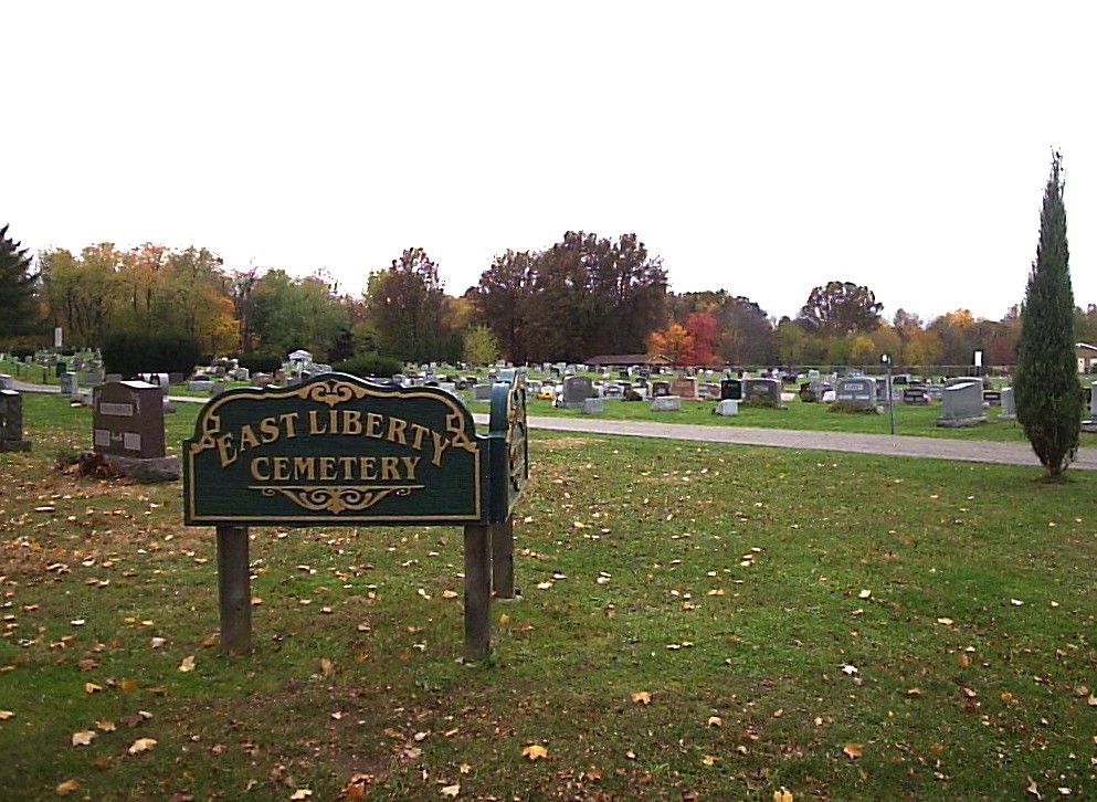
| Memorials | : | 34 |
| Location | : | Green, Summit County, USA |
| Coordinate | : | 40.9743004, -81.4962997 |
| Description | : | Located on the south side of East Turkeyfoot Road (SR 619), west of the intersection of South Arlington Road, East Liberty (Green, Ohio). The cemetery is located in Green Township, Summit County, Ohio, and is # 11504 (East Liberty Cemetery) in “Ohio Cemeteries 1803-2003”, compiled by the Ohio Genealogical Society. The cemetery is registered with the Ohio Division of Real Estate and Professional Licensing (ODRE) as East Liberty Cemetery with registration license number CBR.2006004304. The U.S. Geological Survey (USGS) Geographic Names Information System (GNIS) feature ID for the cemetery is 1945607 (East Liberty Cemetery). |
frequently asked questions (FAQ):
-
Where is East Liberty Cemetery?
East Liberty Cemetery is located at East Turkeyfoot Road Green, Summit County ,Ohio , 44319USA.
-
East Liberty Cemetery cemetery's updated grave count on graveviews.com?
31 memorials
-
Where are the coordinates of the East Liberty Cemetery?
Latitude: 40.9743004
Longitude: -81.4962997
Nearby Cemetories:
1. Pleasant Valley Cemetery
Akron, Summit County, USA
Coordinate: 41.0065002, -81.4931030
2. Klinefelter Cemetery
Green, Summit County, USA
Coordinate: 40.9383011, -81.4953995
3. Slovak Evangelical Cemetery
Krumroy, Summit County, USA
Coordinate: 41.0131989, -81.4675980
4. Greensburg Cemetery
Green, Summit County, USA
Coordinate: 40.9305992, -81.4792023
5. Ahavas Zedek Cemetery
Akron, Summit County, USA
Coordinate: 41.0199880, -81.5133590
6. Farband and Workmens Circle Cemetery
Akron, Summit County, USA
Coordinate: 41.0203840, -81.5146590
7. Anshe Sfard Cemetery
Akron, Summit County, USA
Coordinate: 41.0208570, -81.5153790
8. Lockwood Cemetery
Akron, Summit County, USA
Coordinate: 41.0003014, -81.5582962
9. Milheim Cemetery
Millheim, Summit County, USA
Coordinate: 41.0018005, -81.4345016
10. Holy Cross Cemetery
Akron, Summit County, USA
Coordinate: 41.0269012, -81.5231018
11. Kyser Cemetery
Barberton, Summit County, USA
Coordinate: 40.9775696, -81.5713272
12. Edwin Shaw Sanitarium Cemetery
South Akron, Summit County, USA
Coordinate: 41.0162010, -81.4332962
13. Jonathan Grable Burying Ground
Green, Summit County, USA
Coordinate: 40.9126010, -81.4691160
14. Greenlawn Cemetery
Uniontown, Stark County, USA
Coordinate: 40.9782982, -81.4103012
15. Old Lutheran Cemetery
Uniontown, Stark County, USA
Coordinate: 40.9772290, -81.4081710
16. Manchester Cemetery
New Franklin, Summit County, USA
Coordinate: 40.9352989, -81.5708008
17. Woods Cemetery
Uniontown, Stark County, USA
Coordinate: 40.9757996, -81.4008026
18. Lakewood Cemetery
Akron, Summit County, USA
Coordinate: 41.0314445, -81.5651169
19. Old Springfield Cemetery
Akron, Summit County, USA
Coordinate: 41.0501780, -81.4722920
20. Mount Hope Cemetery
Akron, Summit County, USA
Coordinate: 41.0490990, -81.5266037
21. Saint Augustine Cemetery
Akron, Summit County, USA
Coordinate: 41.0320015, -81.5687027
22. Grace Cathedral Cemetery
Akron, Summit County, USA
Coordinate: 41.0361958, -81.4297615
23. Tison Road Cemetery
Akron, Summit County, USA
Coordinate: 40.9995003, -81.3936996
24. Hillside Memorial Park
Akron, Summit County, USA
Coordinate: 41.0387001, -81.4255981

