
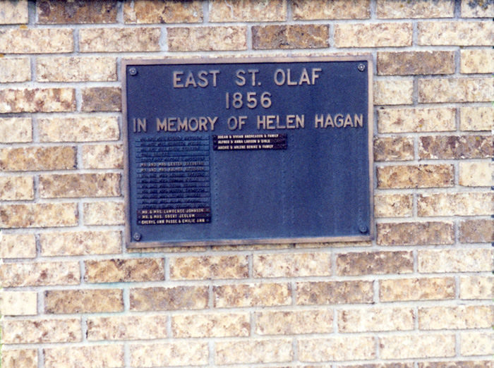
| Memorials | : | 6 |
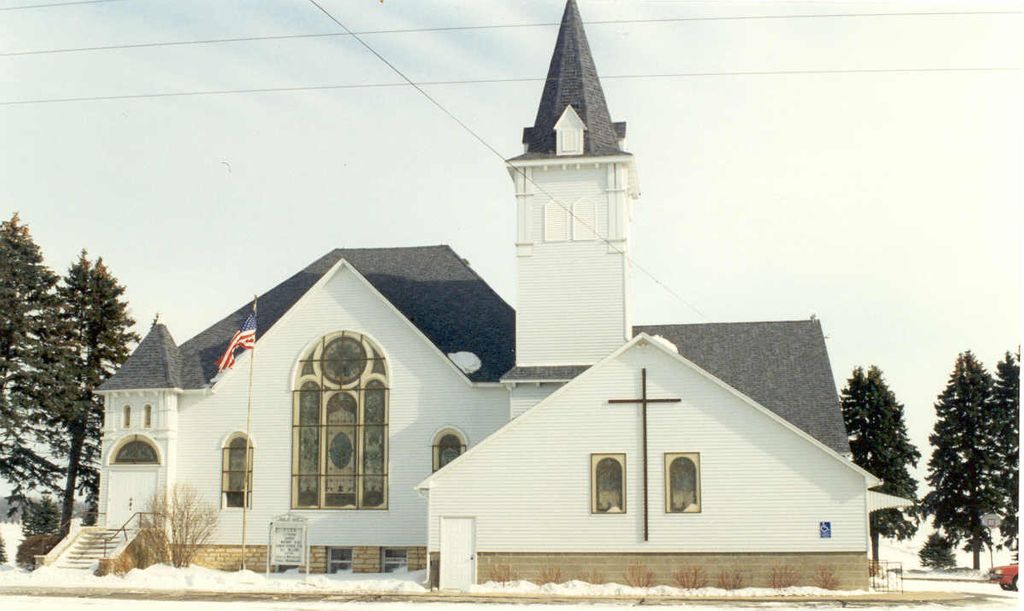
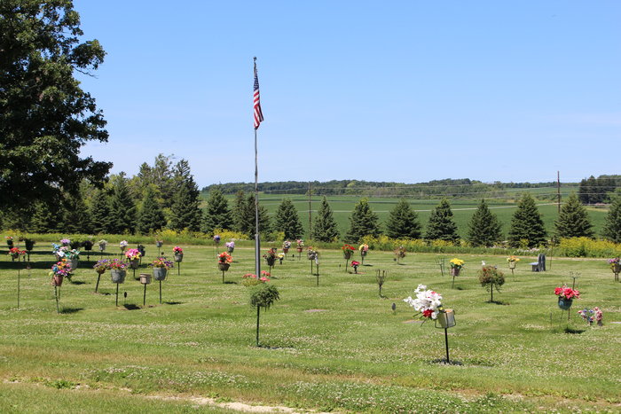
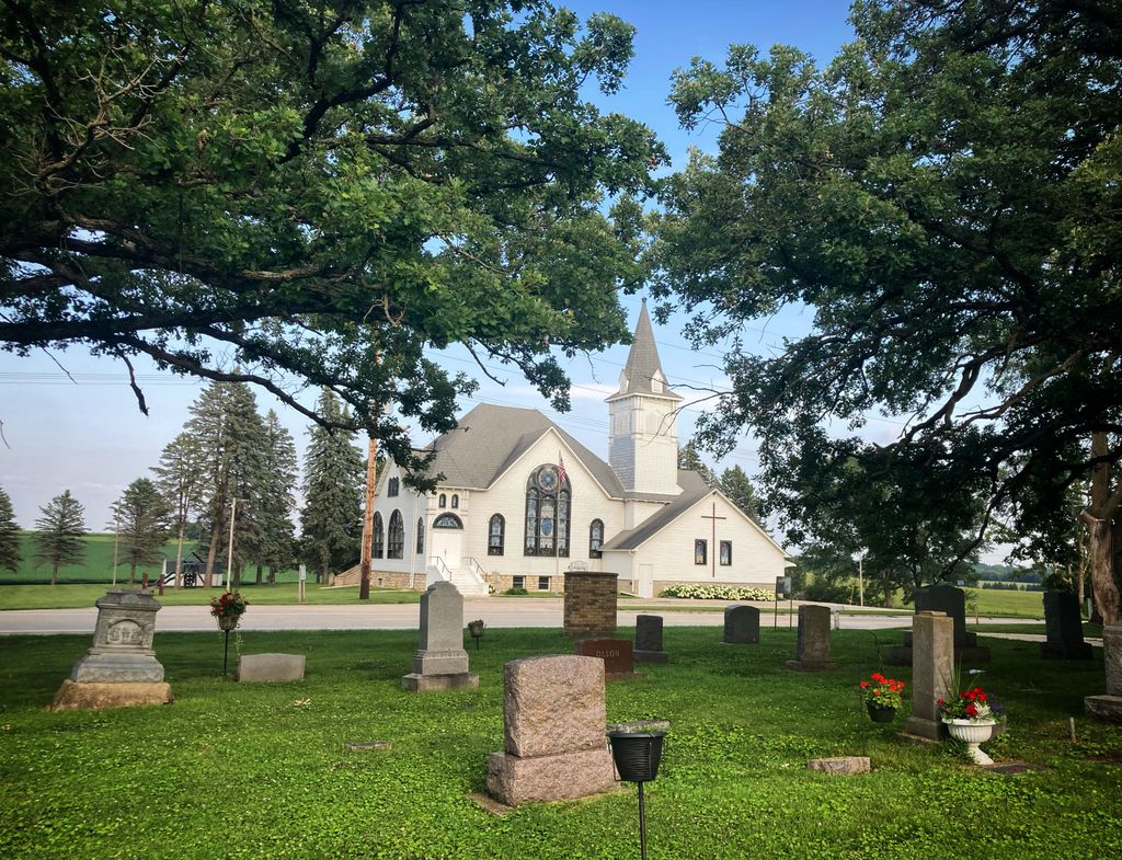
| Location | : | Rock Dell, Olmsted County, USA |
| Coordinate | : | 43.9327812, -92.6383286 |
frequently asked questions (FAQ):
-
Where is East Saint Olaf Lutheran Church Cemetery?
East Saint Olaf Lutheran Church Cemetery is located at Rock Dell, Olmsted County ,Minnesota ,USA.
-
East Saint Olaf Lutheran Church Cemetery cemetery's updated grave count on graveviews.com?
5 memorials
-
Where are the coordinates of the East Saint Olaf Lutheran Church Cemetery?
Latitude: 43.9327812
Longitude: -92.6383286
Nearby Cemetories:
1. Zion Cemetery
Rock Dell, Olmsted County, USA
Coordinate: 43.9297218, -92.6377792
2. South Zumbro Lutheran Church Cemetery
Salem Corners, Olmsted County, USA
Coordinate: 43.9517670, -92.6777878
3. Riverside Cemetery
Salem Corners, Olmsted County, USA
Coordinate: 43.9785995, -92.6074982
4. West Saint Olaf Cemetery
Vernon, Dodge County, USA
Coordinate: 43.9266701, -92.7177811
5. Oakridge Farm Cemetery
Rochester, Olmsted County, USA
Coordinate: 43.9479480, -92.5435090
6. Mayowood Cemetery
Rochester, Olmsted County, USA
Coordinate: 43.9909500, -92.5218800
7. Byron Cemetery
Byron, Olmsted County, USA
Coordinate: 44.0359459, -92.6424713
8. High Forest Cemetery
High Forest, Olmsted County, USA
Coordinate: 43.8472214, -92.5413895
9. Evanger Lutheran Church Cemetery
Sargeant, Mower County, USA
Coordinate: 43.8416710, -92.7300034
10. Maple Grove Cemetery
Kasson, Dodge County, USA
Coordinate: 44.0214005, -92.7553024
11. Pleasant Valley Cemetery
Racine, Mower County, USA
Coordinate: 43.8116989, -92.6074982
12. Immanuel Cemetery
Racine, Mower County, USA
Coordinate: 43.8107986, -92.6089020
13. Saint Bernard Catholic Cemetery
Stewartville, Olmsted County, USA
Coordinate: 43.8624992, -92.4942017
14. Woodlawn Cemetery
Stewartville, Olmsted County, USA
Coordinate: 43.8561707, -92.4966507
15. First Unitarian Universalist Memorial Garden
Rochester, Olmsted County, USA
Coordinate: 44.0140700, -92.4876100
16. Congregational Church Columbarium
Rochester, Olmsted County, USA
Coordinate: 44.0122900, -92.4857200
17. Saint Johns Evangelical Cemetery
Racine, Mower County, USA
Coordinate: 43.8053017, -92.5586014
18. Mount Hope Cemetery
Rochester, Olmsted County, USA
Coordinate: 44.0703011, -92.5783005
19. Saint Bridgets Catholic Church Cemetery
Simpson, Olmsted County, USA
Coordinate: 43.9230423, -92.4351883
20. Evergreen Cemetery
Mantorville, Dodge County, USA
Coordinate: 44.0619011, -92.7418976
21. First Presbyterian Church Columbarium
Rochester, Olmsted County, USA
Coordinate: 44.0201416, -92.4704132
22. Zumbro Lutheran Church Columbarium
Rochester, Olmsted County, USA
Coordinate: 44.0165200, -92.4664500
23. Saint Margaret Cemetery
Mantorville, Dodge County, USA
Coordinate: 44.0616989, -92.7435989
24. Jerusalem Evangelical Cemetery
Pleasant Grove, Olmsted County, USA
Coordinate: 43.8917389, -92.4381256