
| Memorials | : | 0 |
| Location | : | Lewisburg, DeSoto County, USA |
| Coordinate | : | 34.8455810, -89.8612100 |
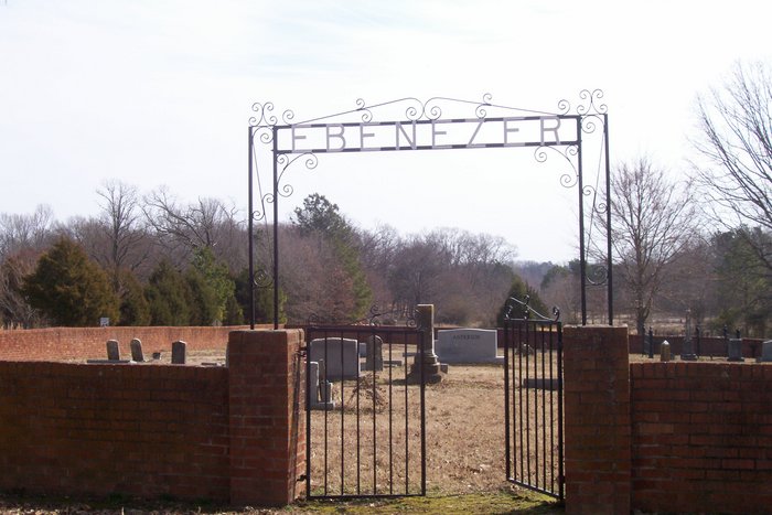
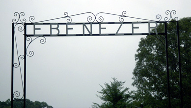
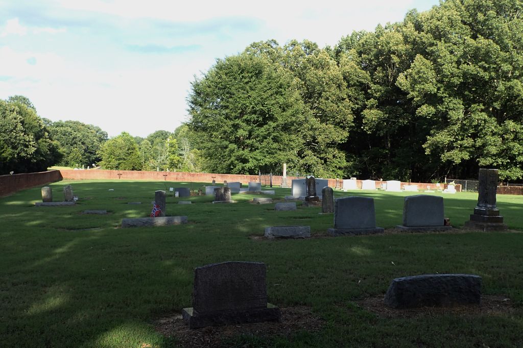
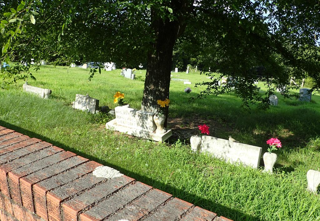
| Description | : | From the intersection of Craft Rd. & I-269/MS-304, near Lewisburg, travel south on Craft Rd. for 0.3 mi.; turning east (left) onto Byhalia Rd., going 0.2 mi.; turning south (right) onto Craft Rd., going 1.1 mi.; turning east (left) onto Vaiden Rd., going 30 yards; turning south (right) into the entrance gate to this large fenced 'deeded' area, leading towards the eastern half, which is the cemetery, surrounded by a 3' high brick wall, as notated on USGS topo maps. Just beyond this wall to the east is an adjoining cemetery, with a newer sign stating the "Kyleton Cemetery Association",... Read More |
frequently asked questions (FAQ):
-
Where is Ebenezer Cemetery?
Ebenezer Cemetery is located at 7251 Vaiden Road Lewisburg, DeSoto County ,Mississippi ,USA.
-
Ebenezer Cemetery cemetery's updated grave count on graveviews.com?
0 memorials
-
Where are the coordinates of the Ebenezer Cemetery?
Latitude: 34.8455810
Longitude: -89.8612100
Nearby Cemetories:
1. Kyleton Cemetery
Hernando, DeSoto County, USA
Coordinate: 34.8401380, -89.8629910
2. Boggan Cemetery
Lewisburg, DeSoto County, USA
Coordinate: 34.8603280, -89.8496000
3. Hannaford Cemetery
Olive Branch, DeSoto County, USA
Coordinate: 34.8661980, -89.8242320
4. Enon Springs Church Cemetery
DeSoto County, USA
Coordinate: 34.8456860, -89.9091190
5. Bakers Chapel Cemetery
Hernando, DeSoto County, USA
Coordinate: 34.8320430, -89.9114140
6. Drain Family Cemetery
Cockrum, DeSoto County, USA
Coordinate: 34.8211440, -89.8155770
7. Beal - Long - Cherry Cemetery
Olive Branch, DeSoto County, USA
Coordinate: 34.8742540, -89.8170730
8. Lebanon Cemetery
Olive Branch, DeSoto County, USA
Coordinate: 34.8891120, -89.8355590
9. Johnston Family Cemetery
Nesbit, DeSoto County, USA
Coordinate: 34.8726210, -89.9128810
10. Wiggins Church Cemetery
Olive Branch, DeSoto County, USA
Coordinate: 34.8891260, -89.8299690
11. Kelsey Cemetery
Olive Branch, DeSoto County, USA
Coordinate: 34.8936430, -89.8399090
12. Saint Matthews Cemetery
Pleasant Hill, DeSoto County, USA
Coordinate: 34.8940840, -89.8864740
13. Peters Chapel Church Graveyard
Cockrum, DeSoto County, USA
Coordinate: 34.8078900, -89.8127830
14. Baker Family Cemetery
Pleasant Hill, DeSoto County, USA
Coordinate: 34.8793600, -89.9146300
15. Cockrum United Methodist Church Cemetery
Hernando, DeSoto County, USA
Coordinate: 34.8023410, -89.8124450
16. Stevens Family Cemetery
Cockrum, DeSoto County, USA
Coordinate: 34.7956080, -89.8186400
17. Matts Chapel Cemetery
Alphaba, DeSoto County, USA
Coordinate: 34.7839060, -89.8680030
18. Christian Church Cemetery
Hernando, DeSoto County, USA
Coordinate: 34.8608930, -89.9374030
19. Knights Chapel CME Church Cemetery
Hernando, DeSoto County, USA
Coordinate: 34.8171990, -89.9371210
20. Whites Chapel Cemetery
Cockrum, DeSoto County, USA
Coordinate: 34.8422560, -89.7773960
21. Hopewell Baptist Church Cemetery
Cockrum, DeSoto County, USA
Coordinate: 34.8413020, -89.7770940
22. Morgan Grove M.B. Church Cemetery
Alphaba, DeSoto County, USA
Coordinate: 34.7918180, -89.9196900
23. Winbourn Cemetery
Ingrams Mill, DeSoto County, USA
Coordinate: 34.8366620, -89.7727160
24. Mount Austin Cemetery
Hernando, DeSoto County, USA
Coordinate: 34.7874990, -89.8061790