| Memorials | : | 0 |
| Location | : | Hernando, DeSoto County, USA |
| Coordinate | : | 34.8171990, -89.9371210 |
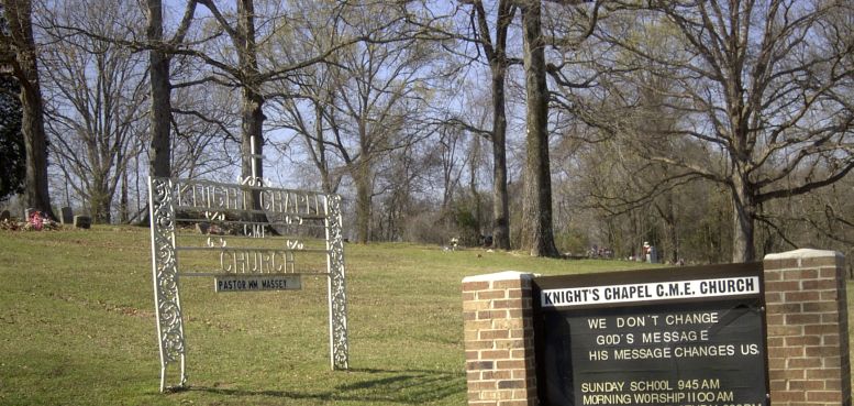
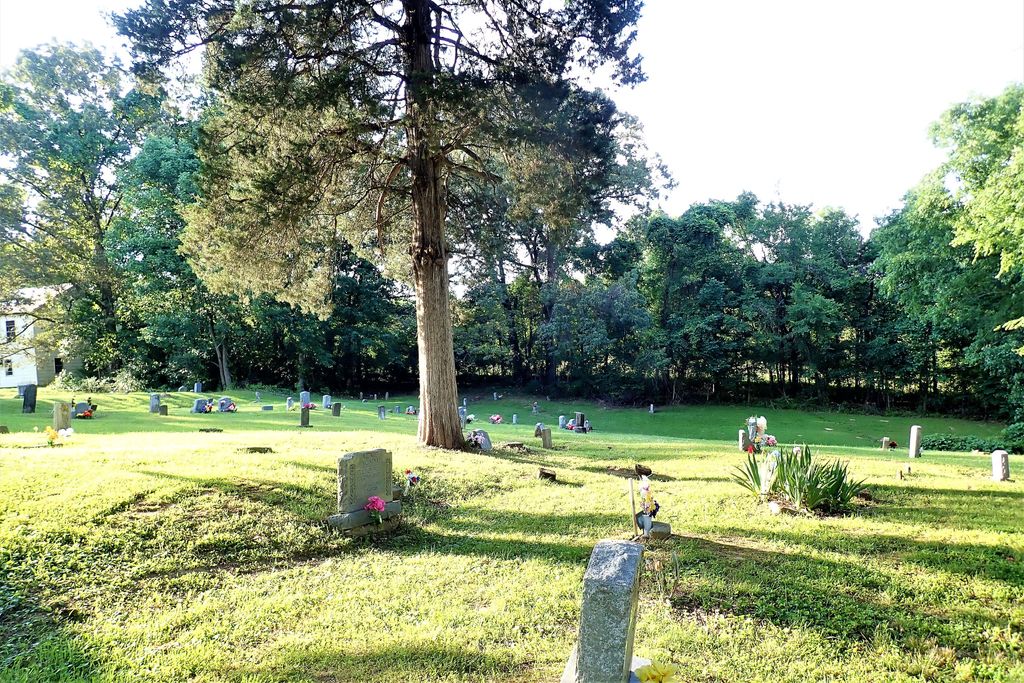
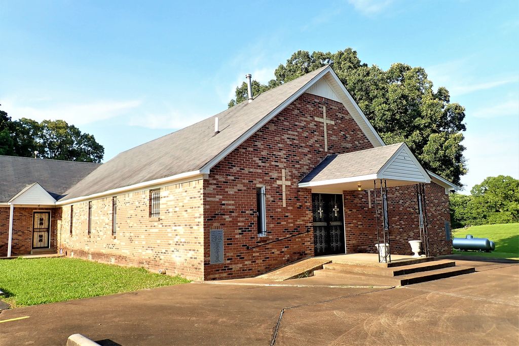
| Description | : | From the intersection of E Commerce St. & I-55, in Hernando, travel east on E Commerce St. for 0.2 mi.; turning south (right) onto McIngvale Rd., going 0.5 mi.; turning east (left) onto Holly Springs Rd., going 2.1 mi.; turning north (left) onto Getwell Rd. S, going 0.2 mi.; turning west (left) into the driveway of the Knight Chapel CME Church & to it's cemetery to the north & east of the church. |
frequently asked questions (FAQ):
-
Where is Knights Chapel CME Church Cemetery?
Knights Chapel CME Church Cemetery is located at 2999 Getwell Road S Hernando, DeSoto County ,Mississippi ,USA.
-
Knights Chapel CME Church Cemetery cemetery's updated grave count on graveviews.com?
0 memorials
-
Where are the coordinates of the Knights Chapel CME Church Cemetery?
Latitude: 34.8171990
Longitude: -89.9371210
Nearby Cemetories:
1. Forrest Family Cemetery
Hernando, DeSoto County, USA
Coordinate: 34.8170000, -89.9530000
2. Bakers Chapel Cemetery
Hernando, DeSoto County, USA
Coordinate: 34.8320430, -89.9114140
3. Morgan Grove M.B. Church Cemetery
Alphaba, DeSoto County, USA
Coordinate: 34.7918180, -89.9196900
4. Grays Creek Cemetery
Hernando, DeSoto County, USA
Coordinate: 34.7869240, -89.9350850
5. Enon Springs Church Cemetery
DeSoto County, USA
Coordinate: 34.8456860, -89.9091190
6. Banks Family Cemetery
Hernando, DeSoto County, USA
Coordinate: 34.8487500, -89.9628060
7. New Bethany Cemetery
Hernando, DeSoto County, USA
Coordinate: 34.8531000, -89.9547000
8. Wheeler Cemetery
Hernando, DeSoto County, USA
Coordinate: 34.7984270, -89.9801780
9. Christian Church Cemetery
Hernando, DeSoto County, USA
Coordinate: 34.8608930, -89.9374030
10. Farley Cemetery
DeSoto County, USA
Coordinate: 34.7841988, -89.9721985
11. Hernando Memorial Park
Hernando, DeSoto County, USA
Coordinate: 34.8175080, -89.9909620
12. Vance Family Cemetery
Hernando, DeSoto County, USA
Coordinate: 34.8285220, -89.9993010
13. Springhill Cemetery
Hernando, DeSoto County, USA
Coordinate: 34.8165870, -90.0020220
14. Morgan Family Cemetery
Alphaba, DeSoto County, USA
Coordinate: 34.7742010, -89.8894830
15. Johnston Family Cemetery
Nesbit, DeSoto County, USA
Coordinate: 34.8726210, -89.9128810
16. Love Cemetery
Hernando, DeSoto County, USA
Coordinate: 34.7600740, -89.9697020
17. Baker Family Cemetery
Pleasant Hill, DeSoto County, USA
Coordinate: 34.8793600, -89.9146300
18. Kyleton Cemetery
Hernando, DeSoto County, USA
Coordinate: 34.8401380, -89.8629910
19. Matts Chapel Cemetery
Alphaba, DeSoto County, USA
Coordinate: 34.7839060, -89.8680030
20. Bridgforth Cemetery #2
Pleasant Hill, DeSoto County, USA
Coordinate: 34.8828770, -89.9420470
21. Ebenezer Cemetery
Lewisburg, DeSoto County, USA
Coordinate: 34.8455810, -89.8612100
22. Perry Cemetery
Tate County, USA
Coordinate: 34.7693080, -89.8741270
23. Elder Cemetery
Coldwater, Tate County, USA
Coordinate: 34.7515180, -89.9038700
24. Bethlehem Cemetery
Nesbit, DeSoto County, USA
Coordinate: 34.8742630, -89.9898520


