
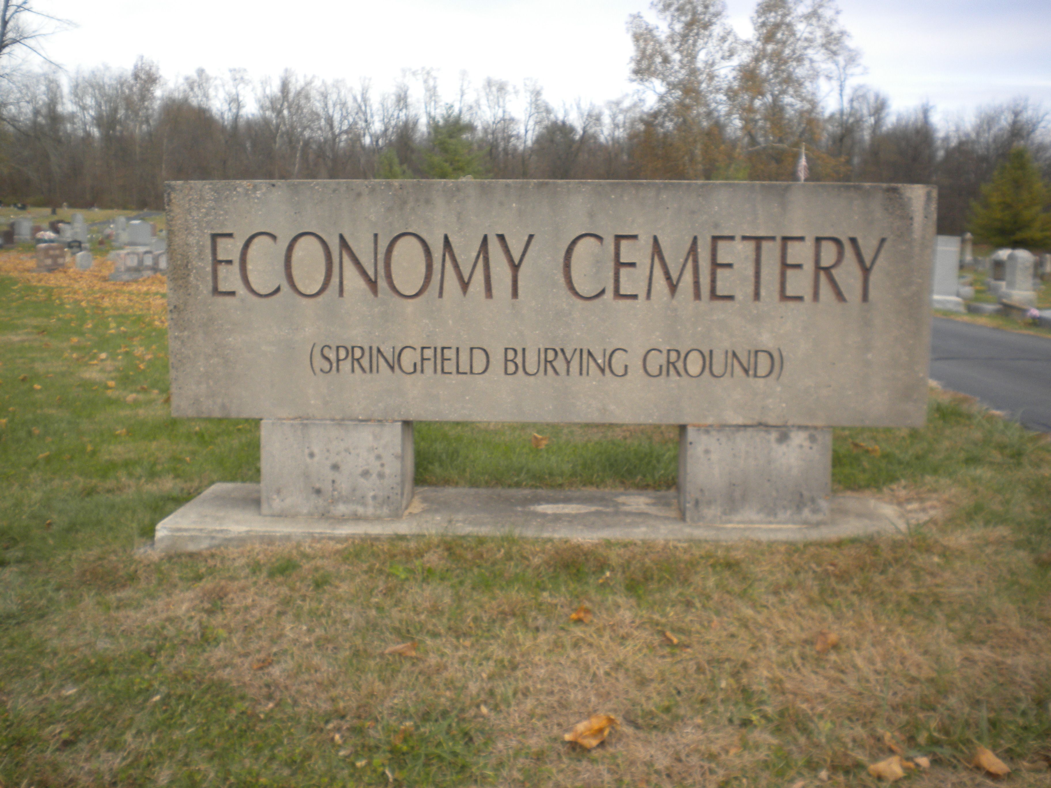
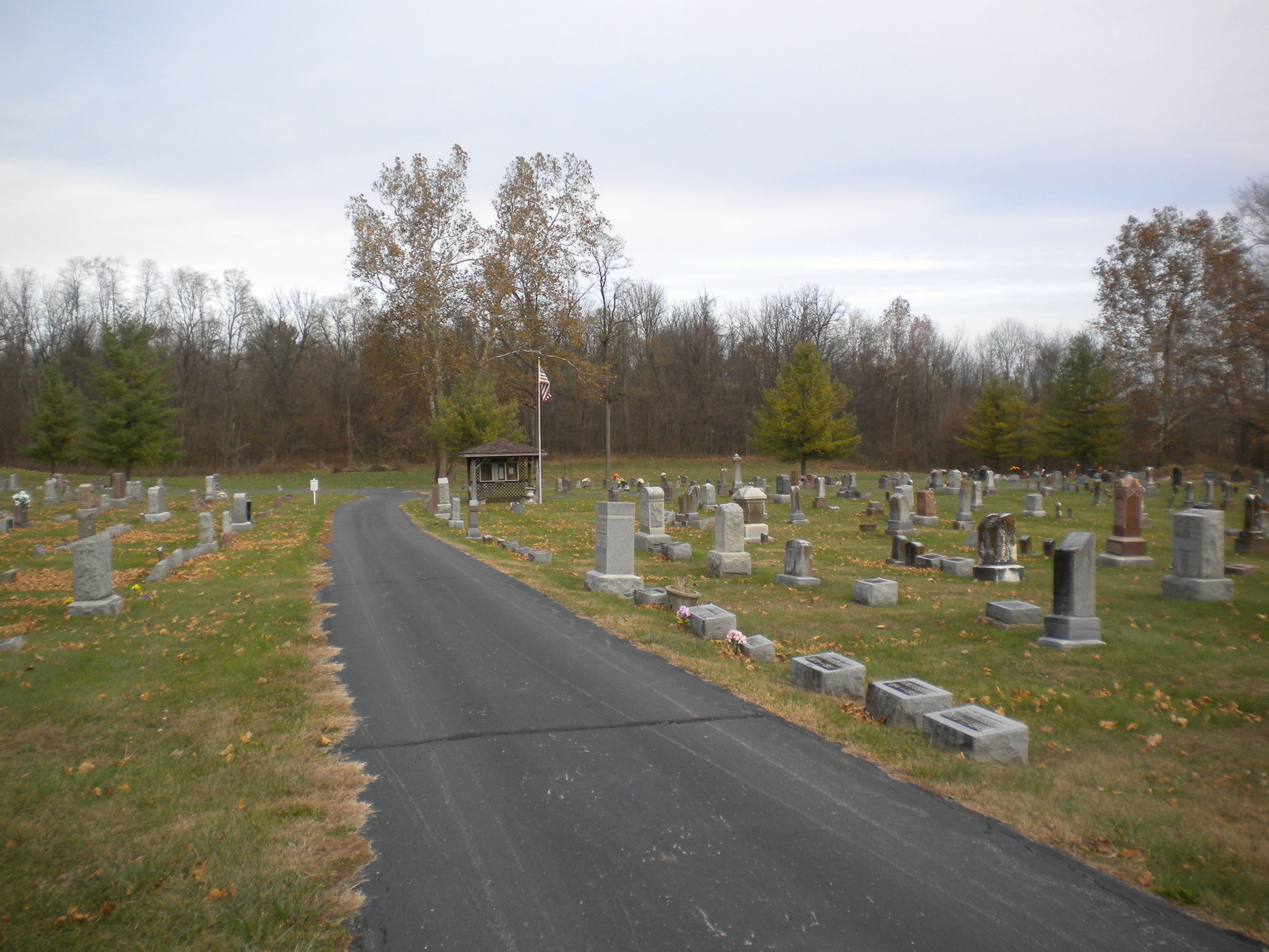
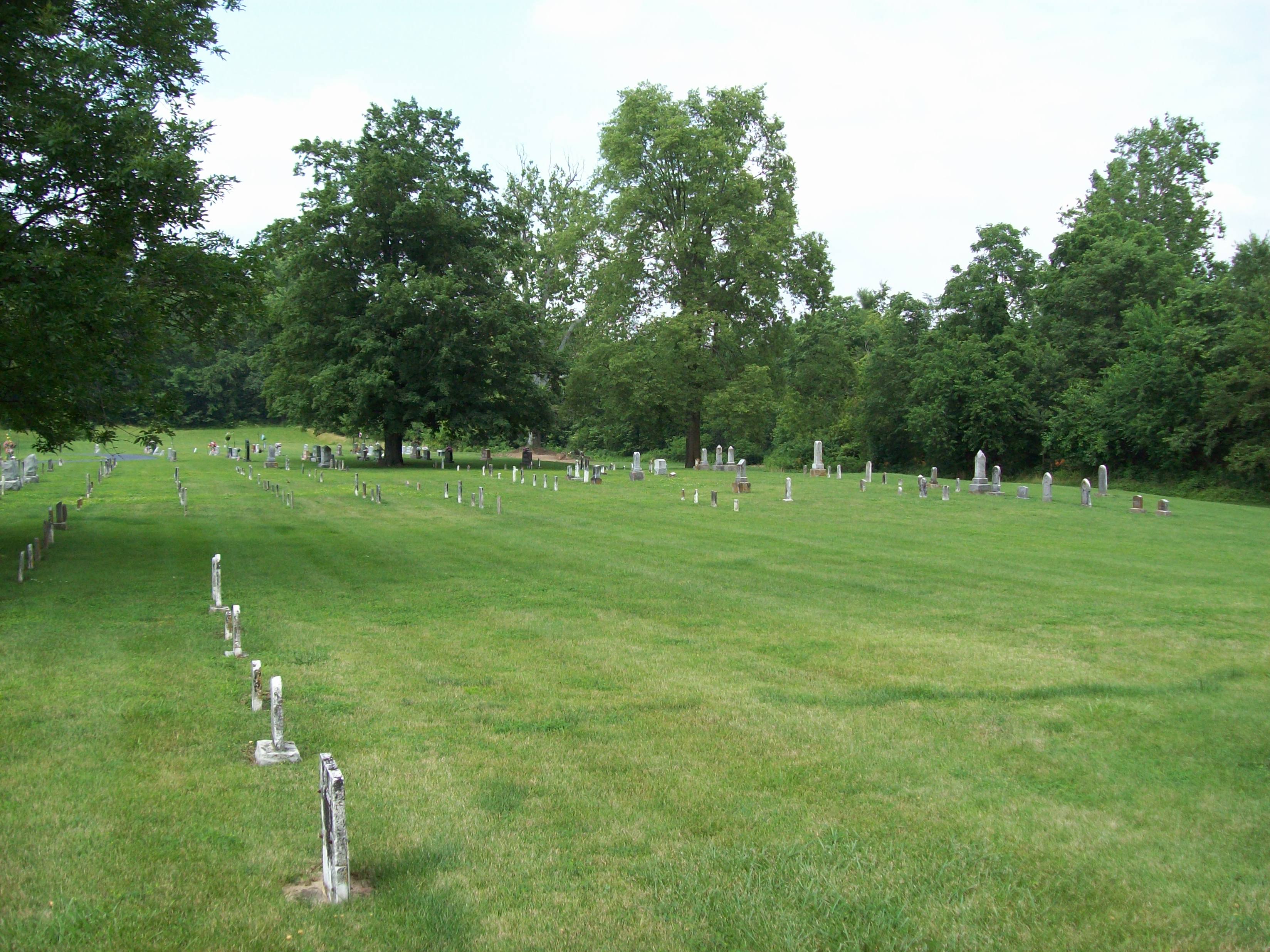
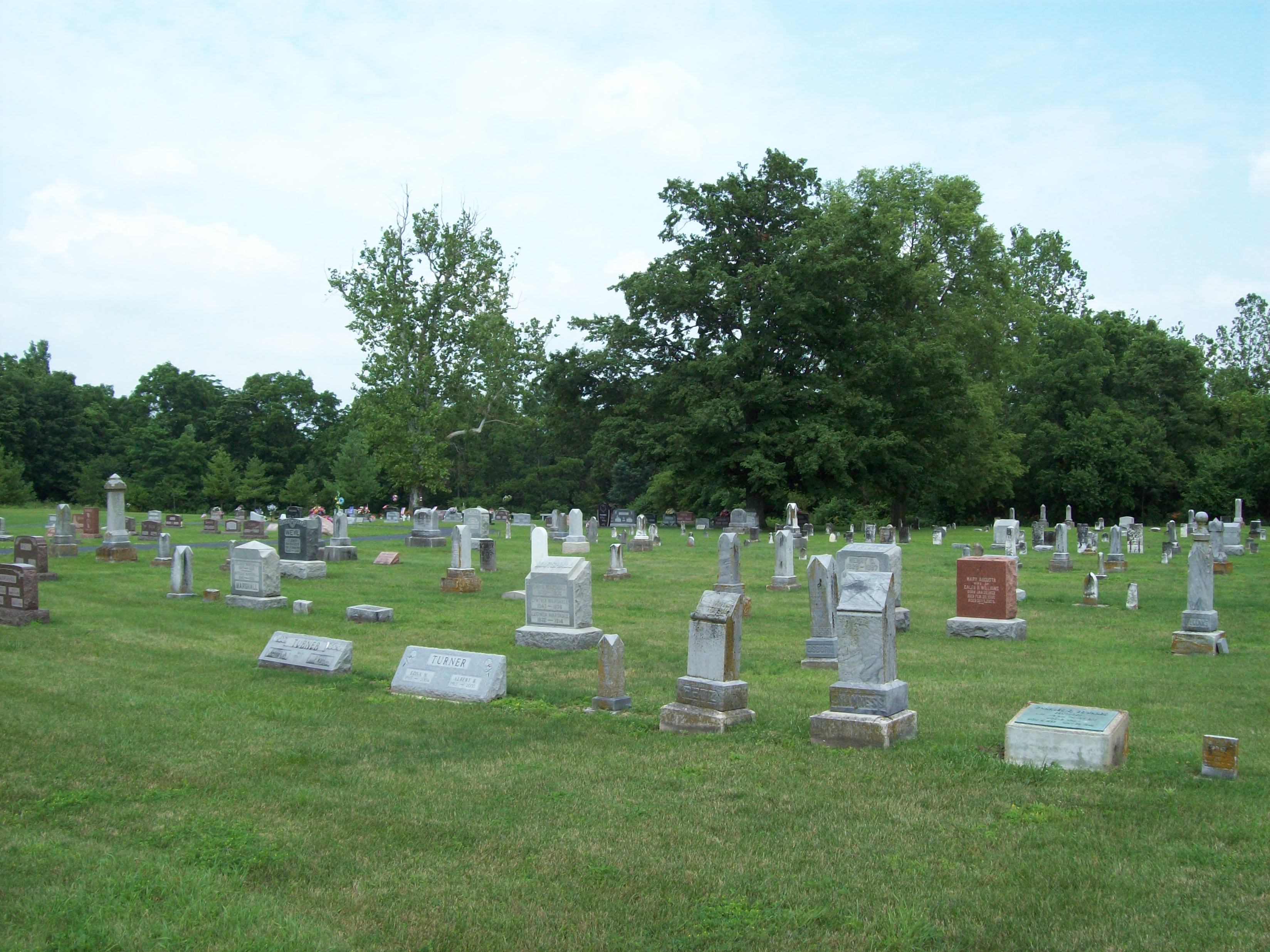
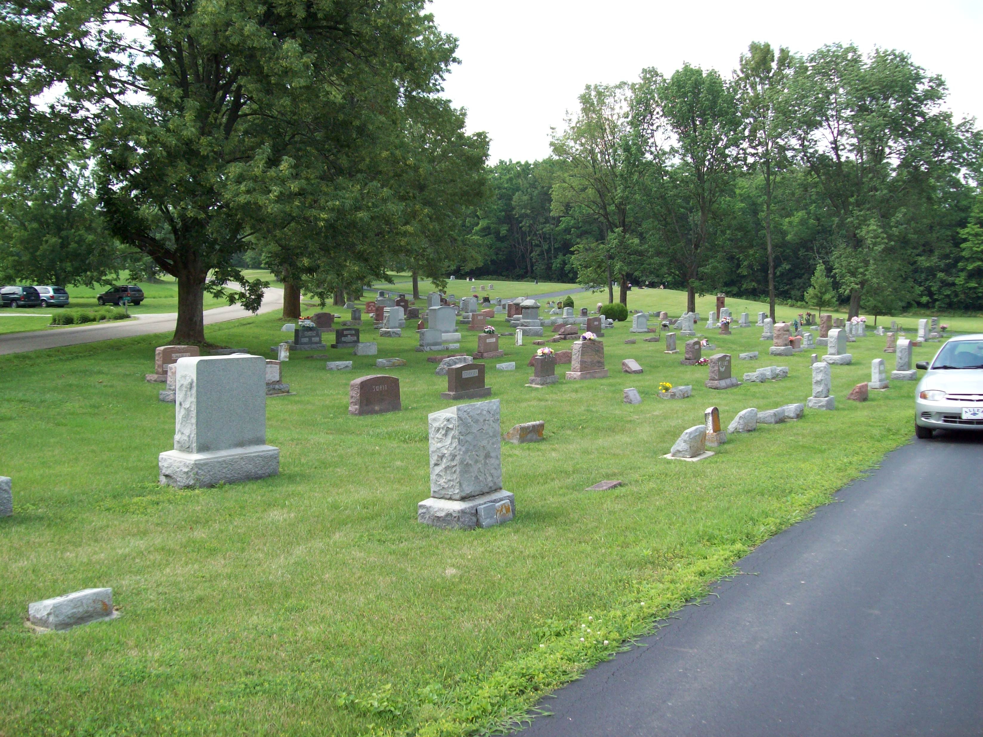
| Memorials | : | 1344 |
| Location | : | Economy, Wayne County, USA |
| Coordinate | : | 39.9832993, -85.0942001 |
| Description | : | The cemetery is located in Perry Township (S half of the SE quadrant of the NE quadrant of Section 29 Township 18N Range 13E) on the northeast corner of the intersection of Indian Trail Road and Beard Road. Indiana Cemetery Locations, Volume 4, published by the Indiana Genealogical Society (April 2009), gives the primary cemetery name as Economy Cemetery with an alternate name of Springfield Cemetery. The cemetery is listed in the Cemetery and Burial Grounds Registry of the Indiana Department of Natural Resources (DNR) and in the State Historical Architectural and Archaeological Research Database (SHAARD) with Cemetery... Read More |
frequently asked questions (FAQ):
-
Where is Economy Cemetery?
Economy Cemetery is located at Indian Trail Road and Beard Road Economy, Wayne County ,Indiana , 47358USA.
-
Economy Cemetery cemetery's updated grave count on graveviews.com?
1341 memorials
-
Where are the coordinates of the Economy Cemetery?
Latitude: 39.9832993
Longitude: -85.0942001
Nearby Cemetories:
1. Jordon Cemetery
Economy, Wayne County, USA
Coordinate: 40.0041490, -85.1209120
2. Bethel United Brethren Cemetery
Economy, Wayne County, USA
Coordinate: 39.9469980, -85.1076720
3. West River Friends Cemetery
Dalton, Wayne County, USA
Coordinate: 39.9826780, -85.1468510
4. Williamson Road Amish Cemetery
Economy, Wayne County, USA
Coordinate: 39.9497920, -85.0629710
5. Little Creek Cemetery
Losantville, Randolph County, USA
Coordinate: 40.0121994, -85.1433029
6. Smith Cemetery
Modoc, Randolph County, USA
Coordinate: 40.0341860, -85.1092390
7. Union Chapel Methodist Cemetery
Carlos, Randolph County, USA
Coordinate: 40.0261002, -85.0519028
8. Olive Branch Cemetery
Hagerstown, Wayne County, USA
Coordinate: 39.9379000, -85.1355560
9. Cook Cemetery
Williamsburg, Wayne County, USA
Coordinate: 39.9853930, -85.0158670
10. Mount Pleasant Cemetery
Wayne County, USA
Coordinate: 39.9903060, -85.0105980
11. Sugar Grove Cemetery
Wayne County, USA
Coordinate: 39.9211006, -85.0721283
12. Salem Cemetery
Modoc, Randolph County, USA
Coordinate: 40.0485850, -85.1097210
13. Nettle Creek Friends Quaker Cemetery
Dalton, Wayne County, USA
Coordinate: 39.9743190, -85.1871830
14. Nettle Creek Baptist Cemetery
Losantville, Randolph County, USA
Coordinate: 40.0077960, -85.1826080
15. Williamsburg Cemetery
Williamsburg, Wayne County, USA
Coordinate: 39.9547005, -85.0036011
16. Tharp Burial Ground
Losantville, Randolph County, USA
Coordinate: 40.0262010, -85.1799630
17. Lewis Family Cemetery
Williamsburg, Wayne County, USA
Coordinate: 39.9403910, -85.0059530
18. Bald Ridge Cemetery
Hagerstown, Wayne County, USA
Coordinate: 39.9009500, -85.1130800
19. Salem Baptist Church Cemetery
Hagerstown, Wayne County, USA
Coordinate: 39.8988991, -85.0971985
20. Ulrich Cemetery
Hagerstown, Wayne County, USA
Coordinate: 39.9433340, -85.1958900
21. Huntsville Cemetery
Modoc, Randolph County, USA
Coordinate: 40.0699043, -85.0752182
22. Bales Cemetery
Mooreland, Henry County, USA
Coordinate: 39.9610370, -85.2055620
23. West Lawn Cemetery
Hagerstown, Wayne County, USA
Coordinate: 39.9138985, -85.1667023
24. Old Losantville Cemetery
Losantville, Randolph County, USA
Coordinate: 40.0359116, -85.1878204