
| Memorials | : | 12 |
| Location | : | Economy, Wayne County, USA |
| Coordinate | : | 40.0041490, -85.1209120 |
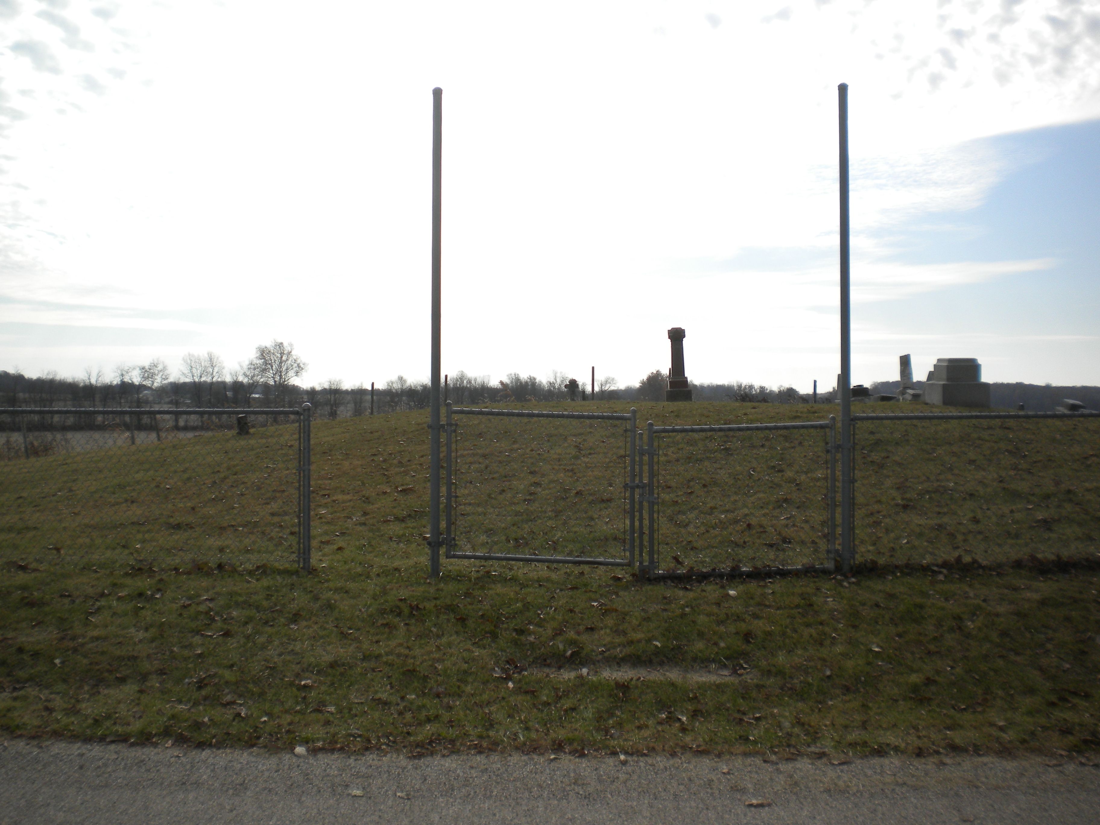
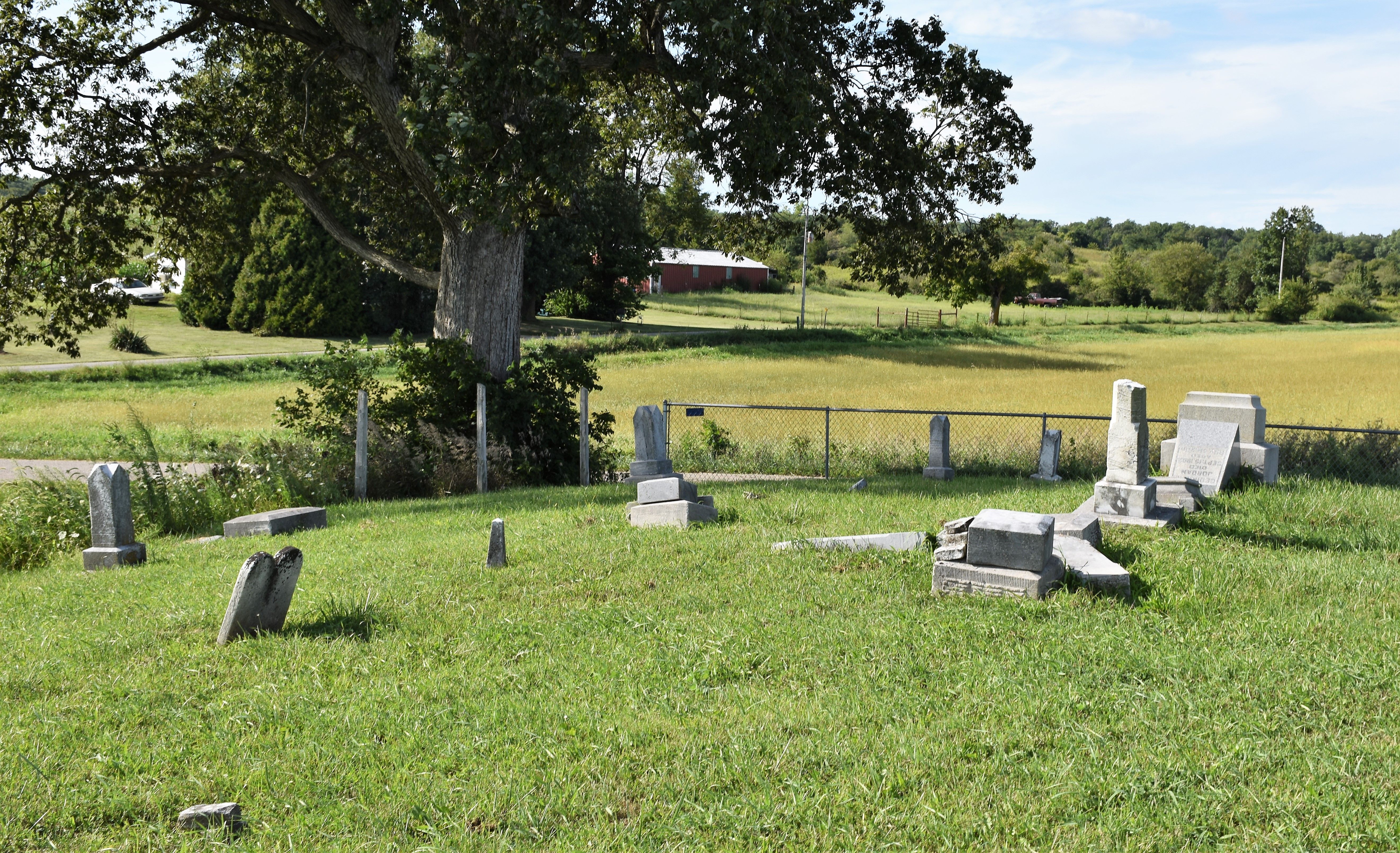
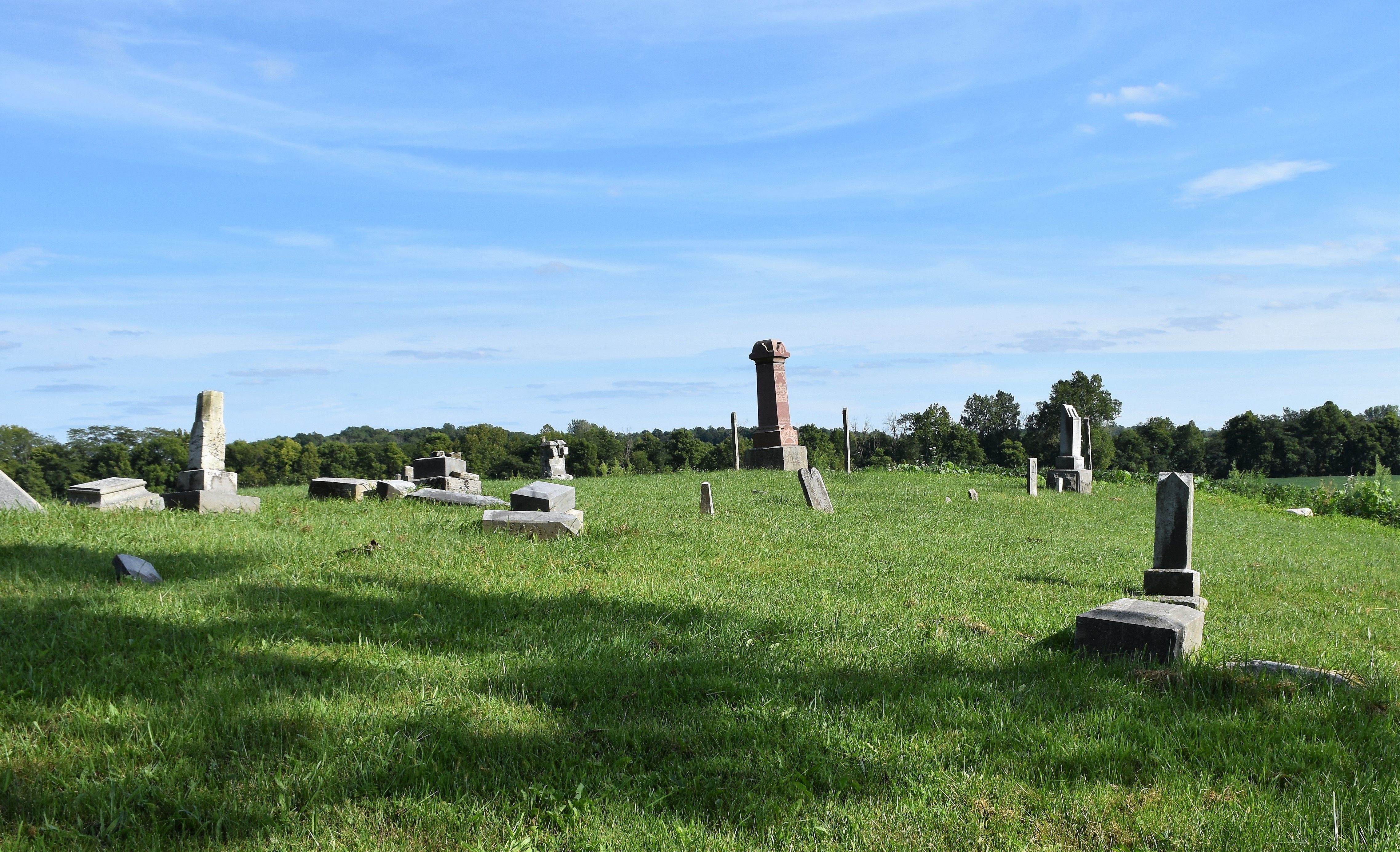
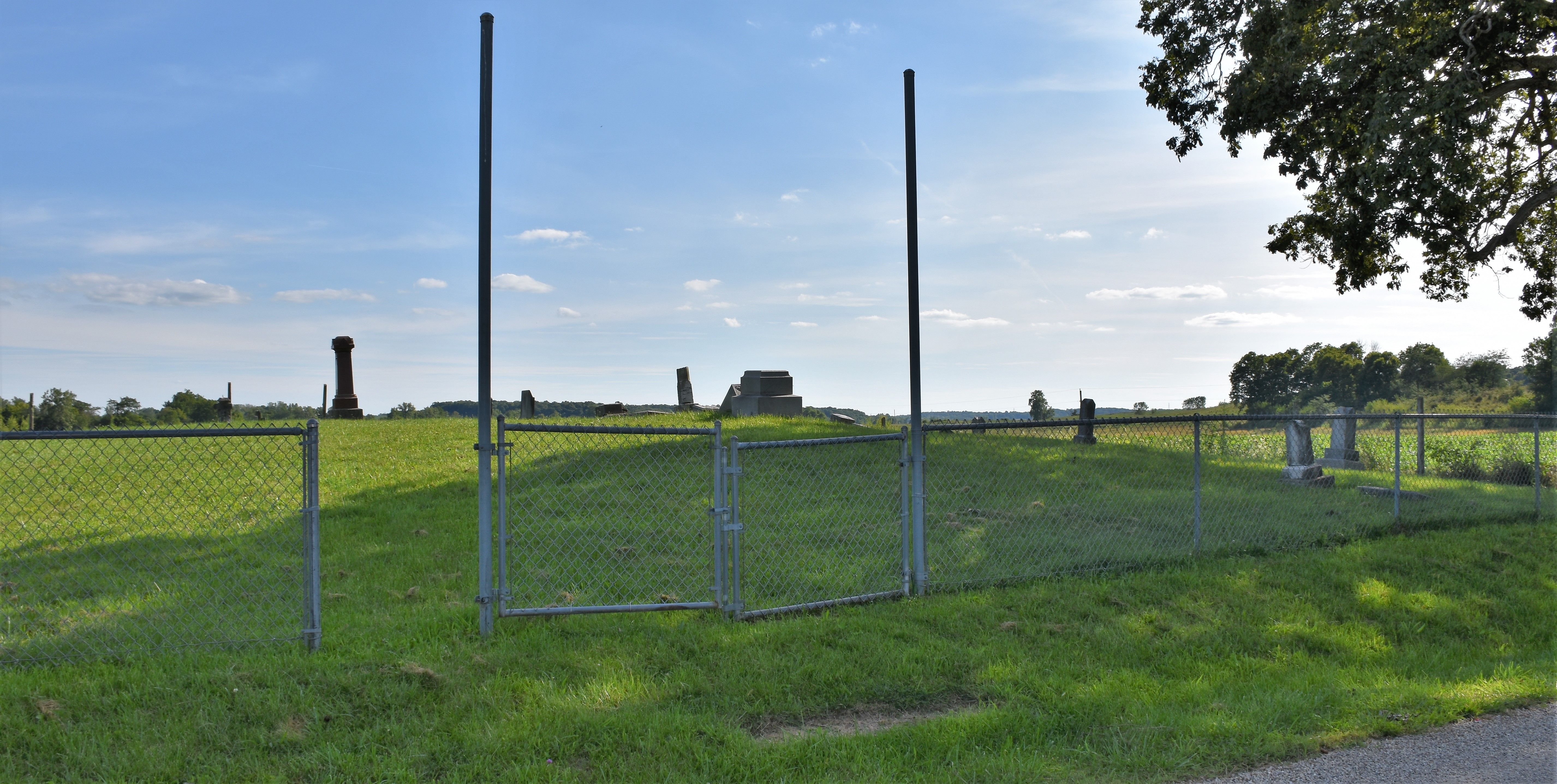
| Description | : | The cemetery is located in Perry Township (NW quadrant of the NW quadrant of the NE quadrant of Section 19 Township 18N Range 12E) on the south side of E County Line Road (County Road 1100) about 200 feet east of its intersection with Thornburg Road. Indiana Cemetery Locations, Volume 4, published by the Indiana Genealogical Society (April 2009), gives the primary cemetery name as Jordan Cemetery. The cemetery is listed in the Cemetery and Burial Grounds Registry of the Indiana Department of Natural Resources (DNR) and in the State Historical Architectural and Archaeological Research Database (SHAARD) with... Read More |
frequently asked questions (FAQ):
-
Where is Jordon Cemetery?
Jordon Cemetery is located at E County Line Road (County Road 1100) Economy, Wayne County ,Indiana , 47339USA.
-
Jordon Cemetery cemetery's updated grave count on graveviews.com?
12 memorials
-
Where are the coordinates of the Jordon Cemetery?
Latitude: 40.0041490
Longitude: -85.1209120

Nearby Cemetories:
1. Little Creek Cemetery
Losantville, Randolph County, USA
Coordinate: 40.0121994, -85.1433029
2. Economy Cemetery
Economy, Wayne County, USA
Coordinate: 39.9832993, -85.0942001
3. West River Friends Cemetery
Dalton, Wayne County, USA
Coordinate: 39.9826780, -85.1468510
4. Smith Cemetery
Modoc, Randolph County, USA
Coordinate: 40.0341860, -85.1092390
5. Salem Cemetery
Modoc, Randolph County, USA
Coordinate: 40.0485850, -85.1097210
6. Nettle Creek Baptist Cemetery
Losantville, Randolph County, USA
Coordinate: 40.0077960, -85.1826080
7. Tharp Burial Ground
Losantville, Randolph County, USA
Coordinate: 40.0262010, -85.1799630
8. Union Chapel Methodist Cemetery
Carlos, Randolph County, USA
Coordinate: 40.0261002, -85.0519028
9. Bethel United Brethren Cemetery
Economy, Wayne County, USA
Coordinate: 39.9469980, -85.1076720
10. Nettle Creek Friends Quaker Cemetery
Dalton, Wayne County, USA
Coordinate: 39.9743190, -85.1871830
11. Old Losantville Cemetery
Losantville, Randolph County, USA
Coordinate: 40.0359116, -85.1878204
12. Riverside Cemetery
Losantville, Randolph County, USA
Coordinate: 40.0480640, -85.1795550
13. Olive Branch Cemetery
Hagerstown, Wayne County, USA
Coordinate: 39.9379000, -85.1355560
14. Williamson Road Amish Cemetery
Economy, Wayne County, USA
Coordinate: 39.9497920, -85.0629710
15. Huntsville Cemetery
Modoc, Randolph County, USA
Coordinate: 40.0699043, -85.0752182
16. Bales Cemetery
Mooreland, Henry County, USA
Coordinate: 39.9610370, -85.2055620
17. Gable Cemetery
Losantville, Randolph County, USA
Coordinate: 40.0671997, -85.1872025
18. Cook Cemetery
Williamsburg, Wayne County, USA
Coordinate: 39.9853930, -85.0158670
19. Ulrich Cemetery
Hagerstown, Wayne County, USA
Coordinate: 39.9433340, -85.1958900
20. Scott Cemetery
Randolph County, USA
Coordinate: 40.0891370, -85.1260940
21. Mount Pleasant Cemetery
Wayne County, USA
Coordinate: 39.9903060, -85.0105980
22. Sugar Grove Cemetery
Wayne County, USA
Coordinate: 39.9211006, -85.0721283
23. Downing Family Cemetery
Mooreland, Henry County, USA
Coordinate: 39.9996990, -85.2467610
24. West Lawn Cemetery
Hagerstown, Wayne County, USA
Coordinate: 39.9138985, -85.1667023