
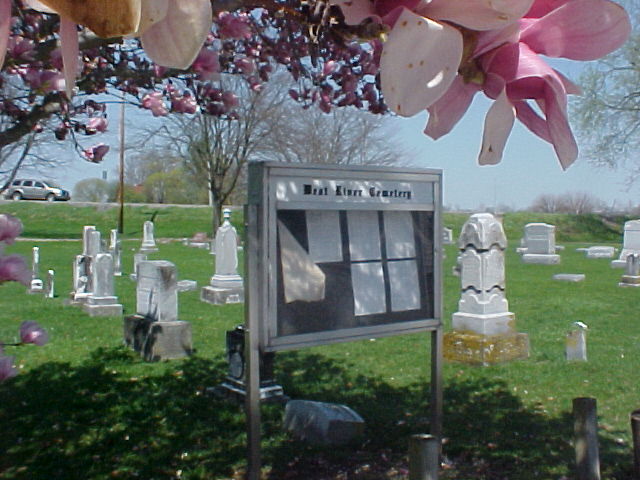
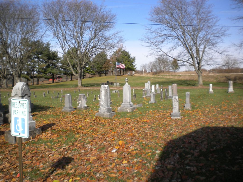
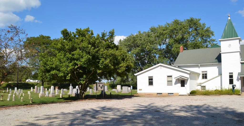
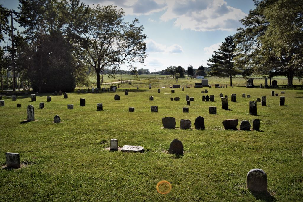
| Memorials | : | 0 |
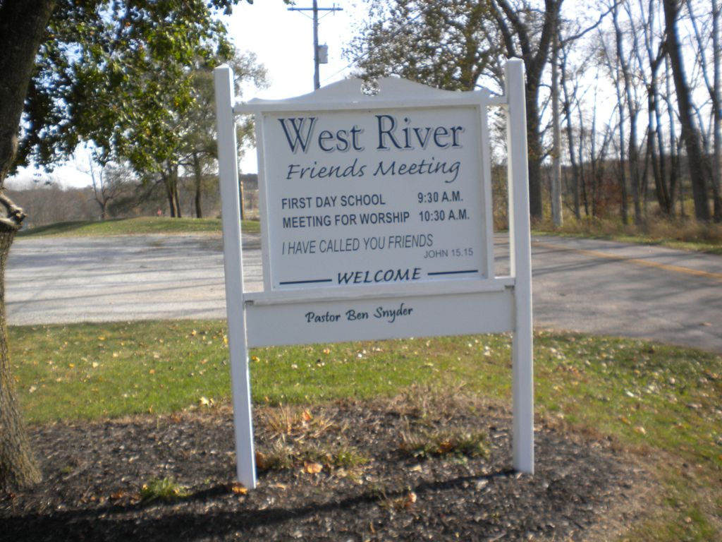
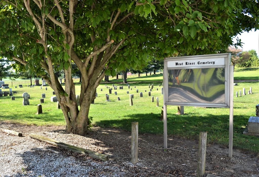
| Location | : | Dalton, Wayne County, USA |
| Coordinate | : | 39.9826780, -85.1468510 |
frequently asked questions (FAQ):
-
Where is West River Friends Cemetery?
West River Friends Cemetery is located at Dalton Township Dalton, Wayne County ,Indiana ,USA.
-
West River Friends Cemetery cemetery's updated grave count on graveviews.com?
0 memorials
-
Where are the coordinates of the West River Friends Cemetery?
Latitude: 39.9826780
Longitude: -85.1468510

Nearby Cemetories:
1. Jordon Cemetery
Economy, Wayne County, USA
Coordinate: 40.0041490, -85.1209120
2. Little Creek Cemetery
Losantville, Randolph County, USA
Coordinate: 40.0121994, -85.1433029
3. Nettle Creek Friends Quaker Cemetery
Dalton, Wayne County, USA
Coordinate: 39.9743190, -85.1871830
4. Nettle Creek Baptist Cemetery
Losantville, Randolph County, USA
Coordinate: 40.0077960, -85.1826080
5. Economy Cemetery
Economy, Wayne County, USA
Coordinate: 39.9832993, -85.0942001
6. Olive Branch Cemetery
Hagerstown, Wayne County, USA
Coordinate: 39.9379000, -85.1355560
7. Bethel United Brethren Cemetery
Economy, Wayne County, USA
Coordinate: 39.9469980, -85.1076720
8. Bales Cemetery
Mooreland, Henry County, USA
Coordinate: 39.9610370, -85.2055620
9. Tharp Burial Ground
Losantville, Randolph County, USA
Coordinate: 40.0262010, -85.1799630
10. Ulrich Cemetery
Hagerstown, Wayne County, USA
Coordinate: 39.9433340, -85.1958900
11. Smith Cemetery
Modoc, Randolph County, USA
Coordinate: 40.0341860, -85.1092390
12. Old Losantville Cemetery
Losantville, Randolph County, USA
Coordinate: 40.0359116, -85.1878204
13. Riverside Cemetery
Losantville, Randolph County, USA
Coordinate: 40.0480640, -85.1795550
14. West Lawn Cemetery
Hagerstown, Wayne County, USA
Coordinate: 39.9138985, -85.1667023
15. Salem Cemetery
Modoc, Randolph County, USA
Coordinate: 40.0485850, -85.1097210
16. Williamson Road Amish Cemetery
Economy, Wayne County, USA
Coordinate: 39.9497920, -85.0629710
17. Saint Jacobs Lutheran Cemetery
Wayne County, USA
Coordinate: 39.9171410, -85.1961365
18. Downing Family Cemetery
Mooreland, Henry County, USA
Coordinate: 39.9996990, -85.2467610
19. Kessinger Methodist Episcopal Church Cemetery
Mooreland, Henry County, USA
Coordinate: 39.9659960, -85.2509000
20. Mooreland Cemetery
Mooreland, Henry County, USA
Coordinate: 40.0043755, -85.2502365
21. Brick Church Cemetery
Hagerstown, Wayne County, USA
Coordinate: 39.9035988, -85.1821976
22. Sugar Grove Cemetery
Wayne County, USA
Coordinate: 39.9211006, -85.0721283
23. Union Chapel Methodist Cemetery
Carlos, Randolph County, USA
Coordinate: 40.0261002, -85.0519028
24. Bald Ridge Cemetery
Hagerstown, Wayne County, USA
Coordinate: 39.9009500, -85.1130800