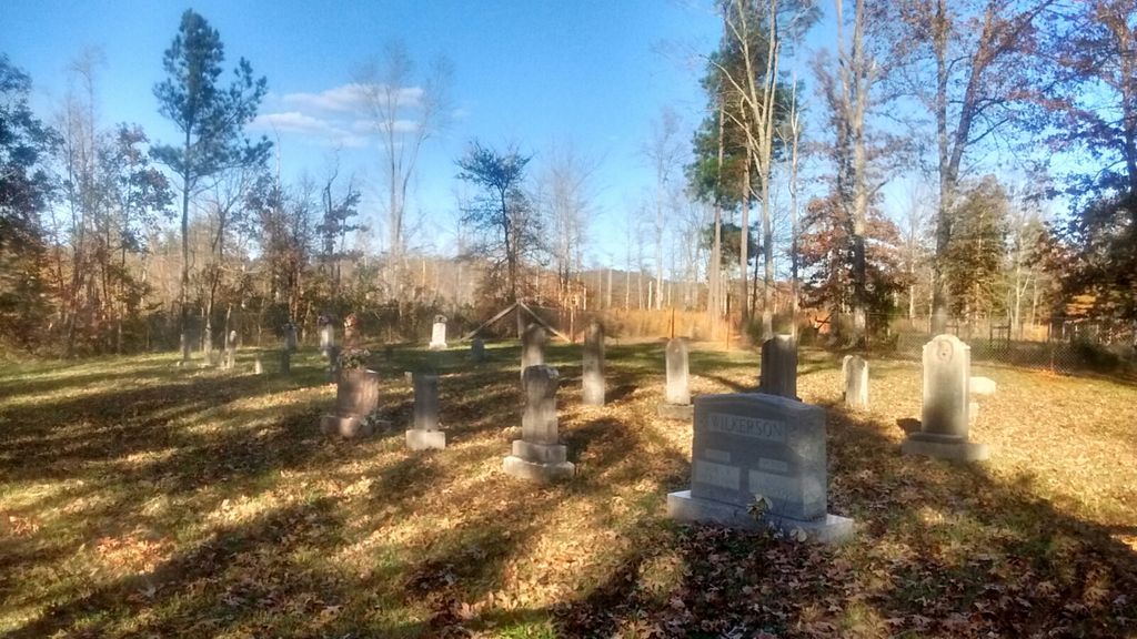
| Memorials | : | 10 |
| Location | : | Short Creek, Grayson County, USA |
| Coordinate | : | 37.5387410, -86.5450930 |
| Description | : | The Edwards Cemetery is in a remote area but accessible. It is located behind the old Edwards School and is fenced in. Turn north off of route 54 onto Edwards Cemetery Road. The road will deadend at the school and cemetery. There are several marked graves here and cemetery is somewhat maintained. |
frequently asked questions (FAQ):
-
Where is Edwards Family Cemetery?
Edwards Family Cemetery is located at Short Creek, Grayson County ,Kentucky ,USA.
-
Edwards Family Cemetery cemetery's updated grave count on graveviews.com?
9 memorials
-
Where are the coordinates of the Edwards Family Cemetery?
Latitude: 37.5387410
Longitude: -86.5450930
Nearby Cemetories:
1. Patterson Cemetery
Grayson County, USA
Coordinate: 37.5297012, -86.5457993
2. Payton Cemetery
Grayson County, USA
Coordinate: 37.5497017, -86.5599976
3. Smith Cemetery
Grayson County, USA
Coordinate: 37.5477982, -86.5674973
4. Porter Cemetery
Grayson County, USA
Coordinate: 37.5391998, -86.5761032
5. Allen Cemetery
Grayson County, USA
Coordinate: 37.5741400, -86.5316300
6. Shady Grove Cemetery
Grayson County, USA
Coordinate: 37.5603228, -86.5071411
7. Blain Family Cemetery
Short Creek, Grayson County, USA
Coordinate: 37.5731000, -86.5098000
8. Lahue-Bradshaw Cemetery
Grayson County, USA
Coordinate: 37.5494003, -86.4878006
9. Ann Mariah Shain Deweese Cemetery
Pine Knob, Grayson County, USA
Coordinate: 37.5386009, -86.4785995
10. Beauchamp Family Cemetery
Falls of Rough, Grayson County, USA
Coordinate: 37.5689090, -86.4900950
11. Lone Star Cemetery
Falls of Rough, Grayson County, USA
Coordinate: 37.5929000, -86.5053000
12. Oller Cemetery
Leitchfield, Grayson County, USA
Coordinate: 37.4906670, -86.5973230
13. Shain Cemetery
Short Creek, Grayson County, USA
Coordinate: 37.5175018, -86.4646988
14. Concord Church Cemetery
Concord, Grayson County, USA
Coordinate: 37.5607014, -86.4606095
15. McGrady Creek Church Cemetery
Grayson County, USA
Coordinate: 37.5180430, -86.6301130
16. Short Creek Missionary Baptist Cemetery
Short Creek, Grayson County, USA
Coordinate: 37.5297260, -86.4554560
17. Meador Askins Family Cemetery
Falls of Rough, Breckinridge County, USA
Coordinate: 37.6072960, -86.5935090
18. New Hope Baptist Church Cemetery
Short Creek, Grayson County, USA
Coordinate: 37.4798000, -86.4749100
19. Eskridge Cemetery
Leitchfield, Grayson County, USA
Coordinate: 37.6153000, -86.5080000
20. Pilgrim Missionary Baptist Cemetery
Duff, Grayson County, USA
Coordinate: 37.5509300, -86.4426700
21. James Matthews Graveyard
Ohio County, USA
Coordinate: 37.5700000, -86.6425000
22. Grant Cemetery
Ohio County, USA
Coordinate: 37.5699997, -86.6425018
23. Macedonia Baptist Church Cemetery
Falls of Rough, Breckinridge County, USA
Coordinate: 37.6200000, -86.5803000
24. Edward Smith Burial Ground
Fordsville, Ohio County, USA
Coordinate: 37.5960930, -86.6431300

