| Memorials | : | 1052 |
| Location | : | Elbert, Elbert County, USA |
| Coordinate | : | 39.2291603, -104.5360870 |
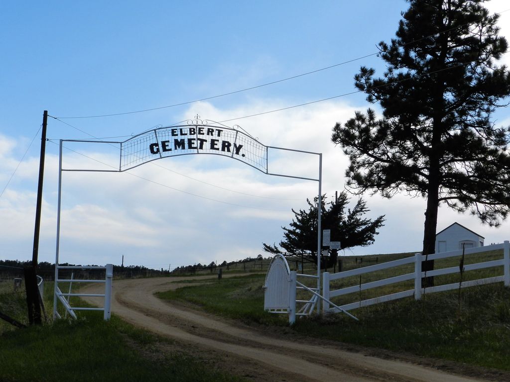
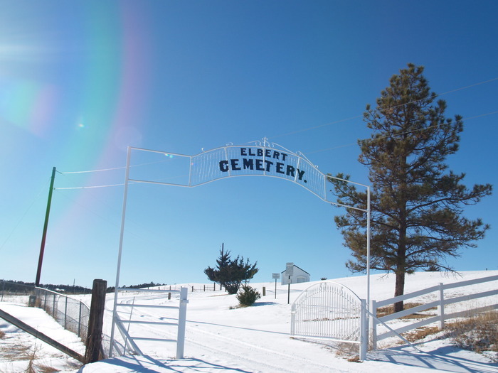
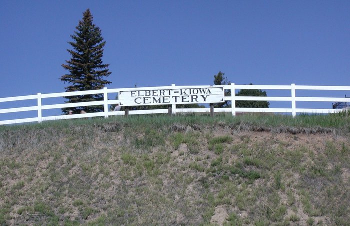
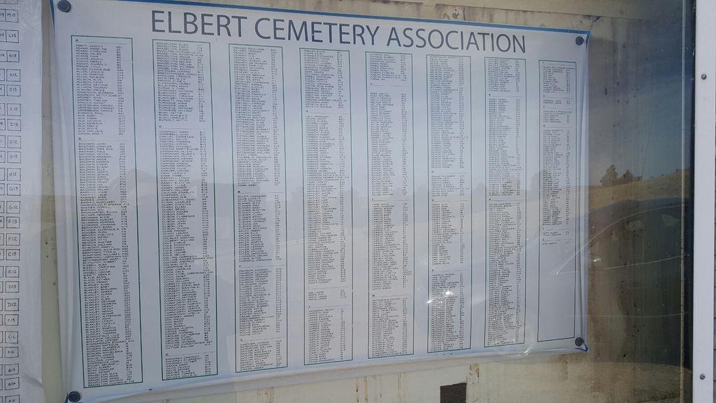
| Description | : | The Elbert Cemetery (also called the Elbert-Kiowa Cemetery) is located about ½ mile north of the town of Elbert, in Elbert County, Colorado. The entrance to the cemetery is off of 25-41 Road (also called the Elbert Road), with the cemetery located west of the road. The sections of the cemetery are designated A through N, with A being the closest to the entrance, on the east end, and N being the farthest west. Each "Section" consists of a double row of large plots, numbered 1 through 24, which run north & south. Each numbered plot... Read More |
frequently asked questions (FAQ):
-
Where is Elbert Cemetery?
Elbert Cemetery is located at Elbert, Elbert County ,Colorado ,USA.
-
Elbert Cemetery cemetery's updated grave count on graveviews.com?
1052 memorials
-
Where are the coordinates of the Elbert Cemetery?
Latitude: 39.2291603
Longitude: -104.5360870
Nearby Cemetories:
1. Boot Ranch Cemetery
Elbert, Elbert County, USA
Coordinate: 39.2742000, -104.5900000
2. Kiowa Old Cemetery
Kiowa, Elbert County, USA
Coordinate: 39.2962000, -104.5019000
3. James Cemetery
Elbert, Elbert County, USA
Coordinate: 39.1724892, -104.6196976
4. Bijou Basin Cemetery
Elbert County, USA
Coordinate: 39.1352997, -104.4561005
5. Hungate Memorial
Kiowa, Elbert County, USA
Coordinate: 39.3467300, -104.4670100
6. Bluff Cemetery
Eastonville, El Paso County, USA
Coordinate: 39.0999985, -104.5849991
7. Queen of Heaven Cemetery
Elizabeth, Elbert County, USA
Coordinate: 39.3637000, -104.5222000
8. Rock Ridge Cemetery
Castle Rock, Douglas County, USA
Coordinate: 39.2572000, -104.7136000
9. Elizabeth Cemetery
Elizabeth, Elbert County, USA
Coordinate: 39.3613815, -104.6055984
10. Table Rock Cemetery
El Paso County, USA
Coordinate: 39.1182000, -104.6855000
11. Spring Valley Cemetery
Douglas County, USA
Coordinate: 39.1592674, -104.7680130
12. Peyton Cemetery
Peyton, El Paso County, USA
Coordinate: 39.0333710, -104.4878464
13. Saint Michaels Cemetery
Calhan, El Paso County, USA
Coordinate: 39.1180500, -104.2928000
14. Saint Mary Cemetery
Calhan, El Paso County, USA
Coordinate: 39.1180500, -104.2924000
15. Eastonville Cemetery
Eastonville, El Paso County, USA
Coordinate: 39.0161018, -104.6061020
16. Lenardt Cemetery
El Paso County, USA
Coordinate: 39.0900000, -104.3004000
17. Sakala Cemetery
Elbert County, USA
Coordinate: 39.1716995, -104.2482986
18. Franktown Cemetery
Douglas County, USA
Coordinate: 39.3914986, -104.7521973
19. National Slovak Society Cemetery
Calhan, El Paso County, USA
Coordinate: 39.0703011, -104.3161011
20. Miller Family Cemetery
Elbert County, USA
Coordinate: 39.4613500, -104.5802300
21. Saint Benedict Cemetery
El Paso County, USA
Coordinate: 39.0619316, -104.7633133
22. Norton Cemetery
Elbert County, USA
Coordinate: 39.3022003, -104.2341995
23. Black Forest Lutheran Church Columbarium
Black Forest, El Paso County, USA
Coordinate: 39.0118000, -104.6988000
24. Ebenezer Cemetery
Elbert County, USA
Coordinate: 39.4702988, -104.4411011


