
| Memorials | : | 8 |
| Location | : | Calhan, El Paso County, USA |
| Coordinate | : | 39.1180500, -104.2928000 |
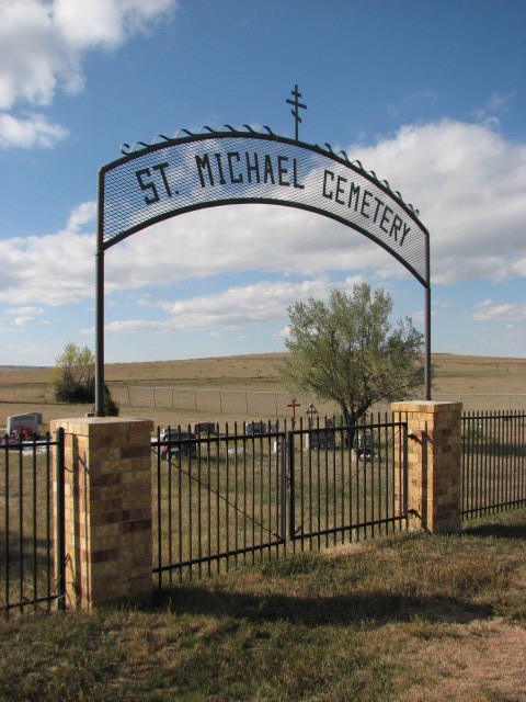
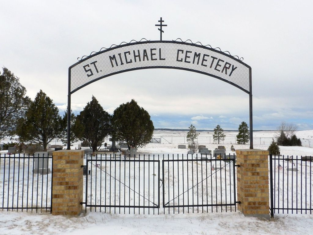
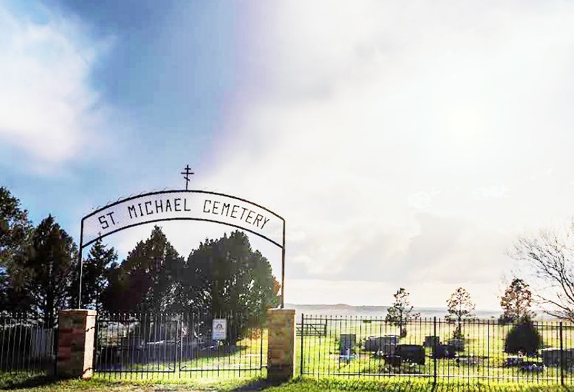
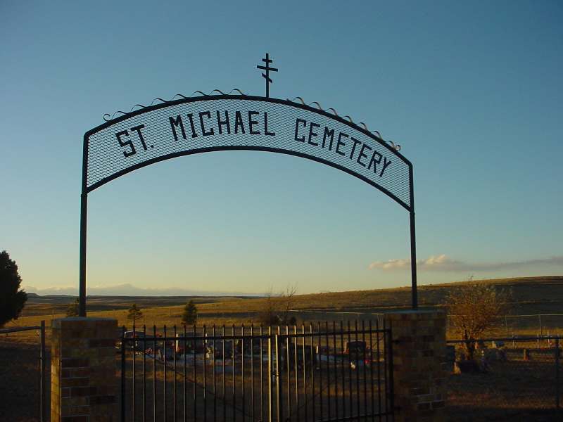
| Description | : | In about 1905, Matt and Mary Trojanovich donated 2 acres of land for an Orthodox church and a cemetery. Saint Mary’s Cemetery is located on the east side of Calhan Highway, 5 miles north of Calhan. When Mary Hlatki died in 1935, her family donated some of their land for a new cemetery, which is located immediately west of Saint Mary’s across Calhan Highway, and which was named Saint Michael’s. Source - The History of Calhan and Vicinity 1888-1988 by Larry King, 1987. |
frequently asked questions (FAQ):
-
Where is Saint Michaels Cemetery?
Saint Michaels Cemetery is located at N Calhan Highway Calhan, El Paso County ,Colorado , 80832USA.
-
Saint Michaels Cemetery cemetery's updated grave count on graveviews.com?
8 memorials
-
Where are the coordinates of the Saint Michaels Cemetery?
Latitude: 39.1180500
Longitude: -104.2928000
Nearby Cemetories:
1. Saint Mary Cemetery
Calhan, El Paso County, USA
Coordinate: 39.1180500, -104.2924000
2. Lenardt Cemetery
El Paso County, USA
Coordinate: 39.0900000, -104.3004000
3. National Slovak Society Cemetery
Calhan, El Paso County, USA
Coordinate: 39.0703011, -104.3161011
4. Sakala Cemetery
Elbert County, USA
Coordinate: 39.1716995, -104.2482986
5. Calhan Cemetery
Calhan, El Paso County, USA
Coordinate: 39.0335236, -104.3128815
6. Sproch Cemetery
Elbert County, USA
Coordinate: 39.1866989, -104.1977997
7. Ramah Cemetery
Ramah, El Paso County, USA
Coordinate: 39.1171913, -104.1629944
8. Bijou Basin Cemetery
Elbert County, USA
Coordinate: 39.1352997, -104.4561005
9. Myers Cemetery
Calhan, El Paso County, USA
Coordinate: 38.9893990, -104.2613983
10. Scott Cemetery
Calhan, El Paso County, USA
Coordinate: 38.9980420, -104.4061970
11. Simla Cemetery
Simla, Elbert County, USA
Coordinate: 39.1443787, -104.0765610
12. Peyton Cemetery
Peyton, El Paso County, USA
Coordinate: 39.0333710, -104.4878464
13. Norton Cemetery
Elbert County, USA
Coordinate: 39.3022003, -104.2341995
14. Elbert Cemetery
Elbert, Elbert County, USA
Coordinate: 39.2291603, -104.5360870
15. Bluff Cemetery
Eastonville, El Paso County, USA
Coordinate: 39.0999985, -104.5849991
16. Kiowa Old Cemetery
Kiowa, Elbert County, USA
Coordinate: 39.2962000, -104.5019000
17. James Cemetery
Elbert, Elbert County, USA
Coordinate: 39.1724892, -104.6196976
18. Eastonville Cemetery
Eastonville, El Paso County, USA
Coordinate: 39.0161018, -104.6061020
19. Hungate Memorial
Kiowa, Elbert County, USA
Coordinate: 39.3467300, -104.4670100
20. Boot Ranch Cemetery
Elbert, Elbert County, USA
Coordinate: 39.2742000, -104.5900000
21. Gair Cemetery
Kiowa, Elbert County, USA
Coordinate: 39.3843994, -104.1821976
22. Flynn Cemetery
El Paso County, USA
Coordinate: 38.8962000, -104.5241000
23. Queen of Heaven Cemetery
Elizabeth, Elbert County, USA
Coordinate: 39.3637000, -104.5222000
24. Kanza Cemetery
Elbert County, USA
Coordinate: 38.8828011, -104.0438995