
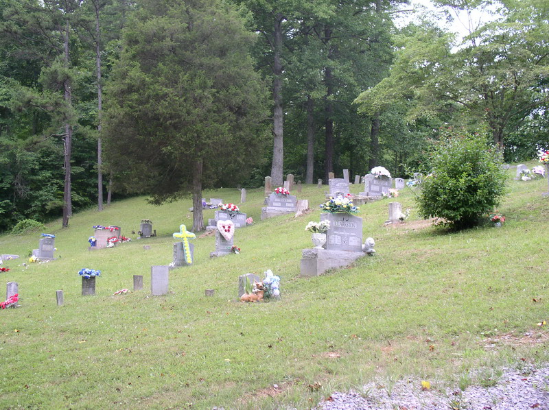
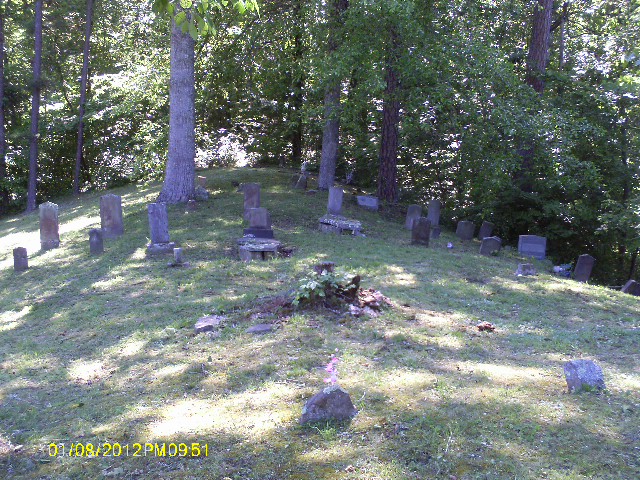
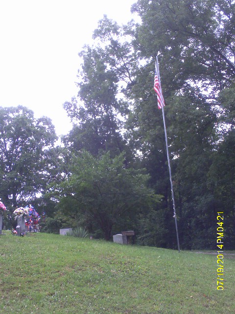
| Memorials | : | 1 |
| Location | : | Fall Rock, Clay County, USA |
| Coordinate | : | 37.2184200, -83.7898400 |
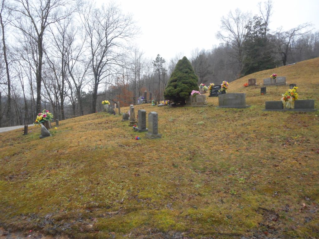
| Description | : | From Manchester, go north on Hwy 421 and turn left at the first drive past Hwy 3477. The cemetery is on top of the hill. |
frequently asked questions (FAQ):
-
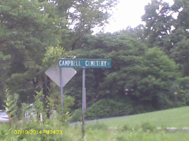
Where is Elijah Campbell Cemetery?
Elijah Campbell Cemetery is located at Campbel Cemetery Rd Fall Rock, Clay County ,Kentucky ,USA.
-
Elijah Campbell Cemetery cemetery's updated grave count on graveviews.com?
1 memorials
-
Where are the coordinates of the Elijah Campbell Cemetery?
Latitude: 37.2184200
Longitude: -83.7898400
Nearby Cemetories:
1. Massey Cemetery
Fall Rock, Clay County, USA
Coordinate: 37.2240050, -83.7871950
2. Bishop Falls Cemetery
Fall Rock, Clay County, USA
Coordinate: 37.2127800, -83.8049030
3. Cope Cemetery
Fall Rock, Clay County, USA
Coordinate: 37.2321000, -83.7874500
4. Runion Cemetery
Fall Rock, Clay County, USA
Coordinate: 37.2323100, -83.7872700
5. T & B Cemetery
Laurel Creek, Clay County, USA
Coordinate: 37.2294920, -83.7782220
6. Spurlock-Gabbard Cemetery
Fall Rock, Clay County, USA
Coordinate: 37.2283790, -83.8050060
7. James Keith Cemetery
Fall Rock, Clay County, USA
Coordinate: 37.2097480, -83.7730560
8. Charlie Hornsby Cemetery
Fall Rock, Clay County, USA
Coordinate: 37.2016400, -83.7850700
9. Sizemore Cemetery
Fall Rock, Clay County, USA
Coordinate: 37.2217130, -83.8113370
10. Chicken Branch Cemetery
Mill Pond, Clay County, USA
Coordinate: 37.2220660, -83.7666400
11. Massey Family Cemetery
Bernice, Clay County, USA
Coordinate: 37.2132300, -83.7641700
12. Scott Cemetery
Burning Springs, Clay County, USA
Coordinate: 37.2424500, -83.7902800
13. Mize Branch Community Cemetery
Manchester, Clay County, USA
Coordinate: 37.2347259, -83.8159595
14. Hugh Martin Cemetery
Manchester, Clay County, USA
Coordinate: 37.1924700, -83.7816900
15. Lucinda Baker Cemetery
Fall Rock, Clay County, USA
Coordinate: 37.1921000, -83.7781100
16. James Reid Cemetery
Manchester, Clay County, USA
Coordinate: 37.1899100, -83.7932000
17. Sandlin Cemetery
Sidell, Clay County, USA
Coordinate: 37.2052994, -83.8221970
18. Hensley Cemetery
Laurel Creek, Clay County, USA
Coordinate: 37.2381800, -83.7609800
19. Parks Cemetery
Manchester, Clay County, USA
Coordinate: 37.1882600, -83.7794200
20. Thompson Cemetery
Burning Springs, Clay County, USA
Coordinate: 37.2430000, -83.8148500
21. Adams Cemetery
Manchester, Clay County, USA
Coordinate: 37.1861800, -83.7826200
22. Lunsford and Morgan Cemetery
Laurel Creek, Clay County, USA
Coordinate: 37.2346300, -83.7530600
23. Robinson Cemetery #2
Manchester, Clay County, USA
Coordinate: 37.1847100, -83.7914000
24. Brown Mission Cemetery
Laurel Creek, Clay County, USA
Coordinate: 37.2349800, -83.7527600