
| Memorials | : | 0 |
| Location | : | Manchester, Clay County, USA |
| Coordinate | : | 37.2347259, -83.8159595 |
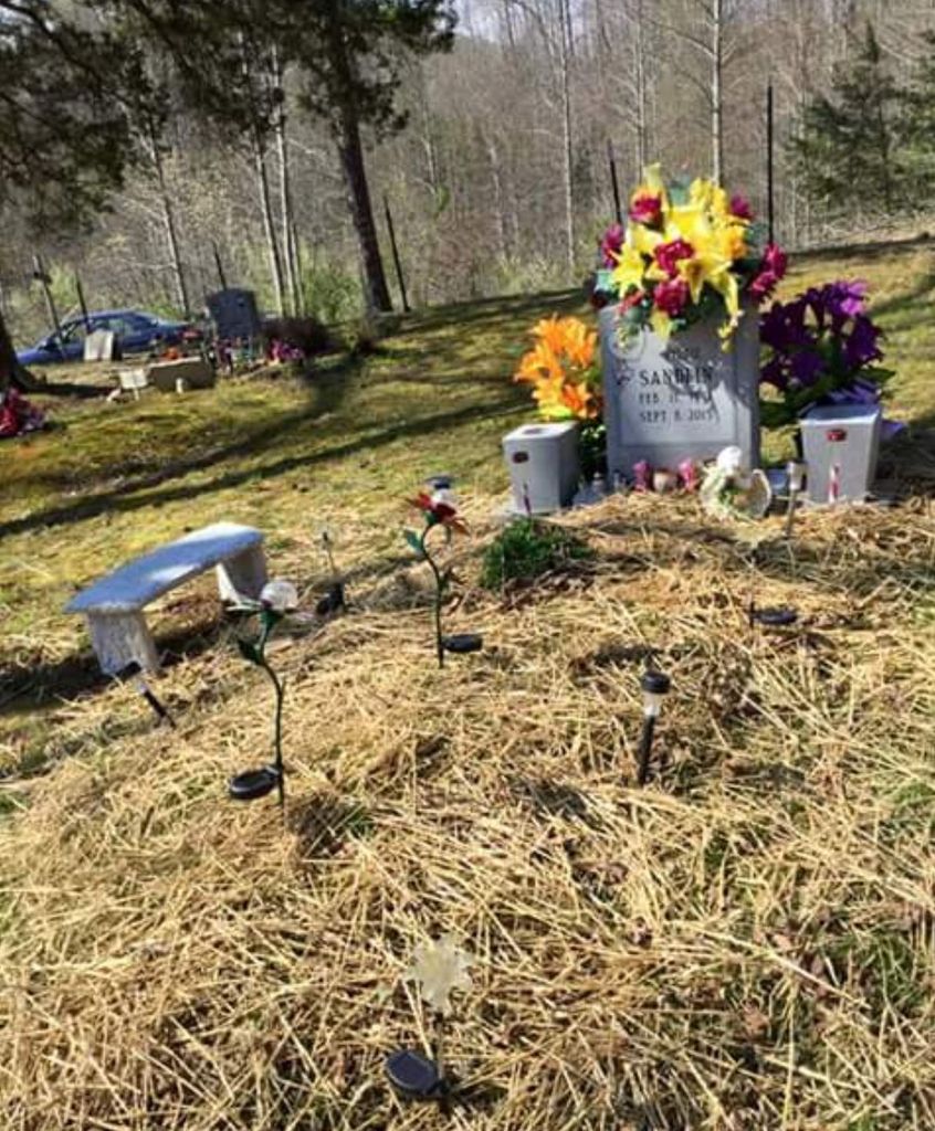
| Description | : | Road turns to the right up a hill and dead ends at a pond. Cemetery is on the right hand side as soon as you get to the top of the hill. This cemetery has a lot of older plots as well as a few up to date ones. |
frequently asked questions (FAQ):
-
Where is Mize Branch Community Cemetery?
Mize Branch Community Cemetery is located at 700 Mize Branch Road Manchester, Clay County ,Kentucky , 40962USA.
-
Mize Branch Community Cemetery cemetery's updated grave count on graveviews.com?
0 memorials
-
Where are the coordinates of the Mize Branch Community Cemetery?
Latitude: 37.2347259
Longitude: -83.8159595
Nearby Cemetories:
1. Thompson Cemetery
Burning Springs, Clay County, USA
Coordinate: 37.2430000, -83.8148500
2. Spurlock-Gabbard Cemetery
Fall Rock, Clay County, USA
Coordinate: 37.2283790, -83.8050060
3. Sizemore Cemetery
Fall Rock, Clay County, USA
Coordinate: 37.2217130, -83.8113370
4. Macedonia Church Cemetery
Burning Springs, Clay County, USA
Coordinate: 37.2413400, -83.8358900
5. Old Harris Cemetery
Sidell, Clay County, USA
Coordinate: 37.2226100, -83.8327800
6. Scott Cemetery
Burning Springs, Clay County, USA
Coordinate: 37.2424500, -83.7902800
7. Cope Cemetery
Fall Rock, Clay County, USA
Coordinate: 37.2321000, -83.7874500
8. Runion Cemetery
Fall Rock, Clay County, USA
Coordinate: 37.2323100, -83.7872700
9. Bishop Falls Cemetery
Fall Rock, Clay County, USA
Coordinate: 37.2127800, -83.8049030
10. Massey Cemetery
Fall Rock, Clay County, USA
Coordinate: 37.2240050, -83.7871950
11. Mcqueen Family Cemetery
Burning Springs, Clay County, USA
Coordinate: 37.2607180, -83.8157650
12. Elijah Campbell Cemetery
Fall Rock, Clay County, USA
Coordinate: 37.2184200, -83.7898400
13. George McQueen Cemetery
Clay County, USA
Coordinate: 37.2618100, -83.8162100
14. Sandlin Cemetery
Sidell, Clay County, USA
Coordinate: 37.2052994, -83.8221970
15. T & B Cemetery
Laurel Creek, Clay County, USA
Coordinate: 37.2294920, -83.7782220
16. Smith Cemetery #4
Burning Springs, Clay County, USA
Coordinate: 37.2691100, -83.8175700
17. Smith Cemetery #9
Burning Springs, Clay County, USA
Coordinate: 37.2692250, -83.8176530
18. Pine Grove Cemetery
Fogertown, Clay County, USA
Coordinate: 37.2431400, -83.8606400
19. Woods Cemetery
Burning Springs, Clay County, USA
Coordinate: 37.2621700, -83.7846000
20. Charlie Hornsby Cemetery
Fall Rock, Clay County, USA
Coordinate: 37.2016400, -83.7850700
21. Chicken Branch Cemetery
Mill Pond, Clay County, USA
Coordinate: 37.2220660, -83.7666400
22. James Keith Cemetery
Fall Rock, Clay County, USA
Coordinate: 37.2097480, -83.7730560
23. Hensley Cemetery
Laurel Creek, Clay County, USA
Coordinate: 37.2381800, -83.7609800
24. Lloyd Bowling Cemetery
Burning Springs, Clay County, USA
Coordinate: 37.2714000, -83.8484860