
| Memorials | : | 5 |
| Location | : | Millersburg, Holmes County, USA |
| Coordinate | : | 40.5942890, -81.7577250 |
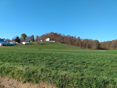
| Description | : | The cemetery is located north of Amish Country Byway (US 62) about 0.3 mile northwest of its intersection with Township Road 652. The cemetery is located in Paint Township, Holmes County, Ohio, and is # 5624 (Emanuel Miller Farm Cemetery) in “Ohio Cemeteries 1803-2003”, compiled by the Ohio Genealogical Society. The cemetery is identified as G-2 (Emanuel Miller Farm Cemetery) in “Cemetery Directory of the Amish Community in Eastern Holmes and Adjoining Counties in Ohio" by Leroy Beachy, (c) 1975. |
frequently asked questions (FAQ):
-
Where is Emanuel Miller Farm Cemetery?
Emanuel Miller Farm Cemetery is located at Amish Country Byway (US 62) Millersburg, Holmes County ,Ohio , 44654USA.
-
Emanuel Miller Farm Cemetery cemetery's updated grave count on graveviews.com?
5 memorials
-
Where are the coordinates of the Emanuel Miller Farm Cemetery?
Latitude: 40.5942890
Longitude: -81.7577250
Nearby Cemetories:
1. Monroe A. Miller Farm Cemetery
Bunker Hill, Holmes County, USA
Coordinate: 40.5889960, -81.7470390
2. Daniel J Miller Farm Cemetery
Mount Hope, Holmes County, USA
Coordinate: 40.6042620, -81.7658340
3. Emanuel Mullet Farm Cemetery
Trail, Holmes County, USA
Coordinate: 40.5850750, -81.7449220
4. Raymond J Kline Farm Cemetery #1
Bunker Hill, Holmes County, USA
Coordinate: 40.5901930, -81.7745870
5. Jacob E Miller Farm Cemetery
Bunker Hill, Holmes County, USA
Coordinate: 40.5901500, -81.7745800
6. Raymond J Kline Farm Cemetery #2
Bunker Hill, Holmes County, USA
Coordinate: 40.5865720, -81.7723890
7. Weaver Family Cemetery
Bunker Hill, Holmes County, USA
Coordinate: 40.5823560, -81.7665830
8. Pleasant View Mennonite Church Cemetery
Berlin, Holmes County, USA
Coordinate: 40.6026470, -81.7419720
9. Daniel J Miller Farm Cemetery
Bunker Hill, Holmes County, USA
Coordinate: 40.5905300, -81.7833390
10. Moses J Miller Farm Cemetery
Trail, Holmes County, USA
Coordinate: 40.5907850, -81.7302040
11. Enos Weaver Farm Cemetery
Trail, Holmes County, USA
Coordinate: 40.5907860, -81.7301870
12. Miller Cemetery
Winesburg, Holmes County, USA
Coordinate: 40.6116982, -81.7414017
13. Jacob Mast Farm Cemetery
Mount Hope, Holmes County, USA
Coordinate: 40.6097900, -81.7786620
14. Weaver Cemetery
Holmes County, USA
Coordinate: 40.5778008, -81.7375031
15. Daniel Schlabach Farm Cemetery
Bunker Hill, Holmes County, USA
Coordinate: 40.5751350, -81.7735930
16. Henry Hersberger Farm Cemetery
Mount Hope, Holmes County, USA
Coordinate: 40.5990270, -81.7869540
17. Yutzy Cemetery
Winesburg, Holmes County, USA
Coordinate: 40.6108017, -81.7371979
18. David A Miller Farm Cemetery
Bunker Hill, Holmes County, USA
Coordinate: 40.5727370, -81.7481930
19. Milo Yoder Farm Cemetery
Winesburg, Holmes County, USA
Coordinate: 40.6130900, -81.7377900
20. Beachy Cemetery
Walnut Creek, Holmes County, USA
Coordinate: 40.5708008, -81.7410965
21. Melvin J Hershberger Farm Cemetery
Berlin, Holmes County, USA
Coordinate: 40.5760680, -81.7853330
22. Hochstetler Cemetery
Mount Hope, Holmes County, USA
Coordinate: 40.6145000, -81.7832000
23. Jonas Schrock Farm Cemetery
Trail, Holmes County, USA
Coordinate: 40.5774900, -81.7281670
24. Ezra Y Miller Farm Cemetery
Millersburg, Holmes County, USA
Coordinate: 40.6101940, -81.7885540