| Memorials | : | 0 |
| Location | : | Columbia, Richland County, USA |
| Coordinate | : | 34.0661011, -80.8788986 |
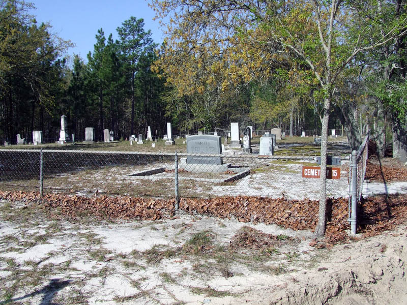
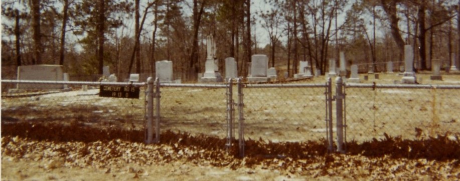
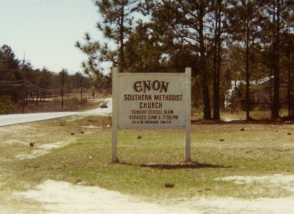
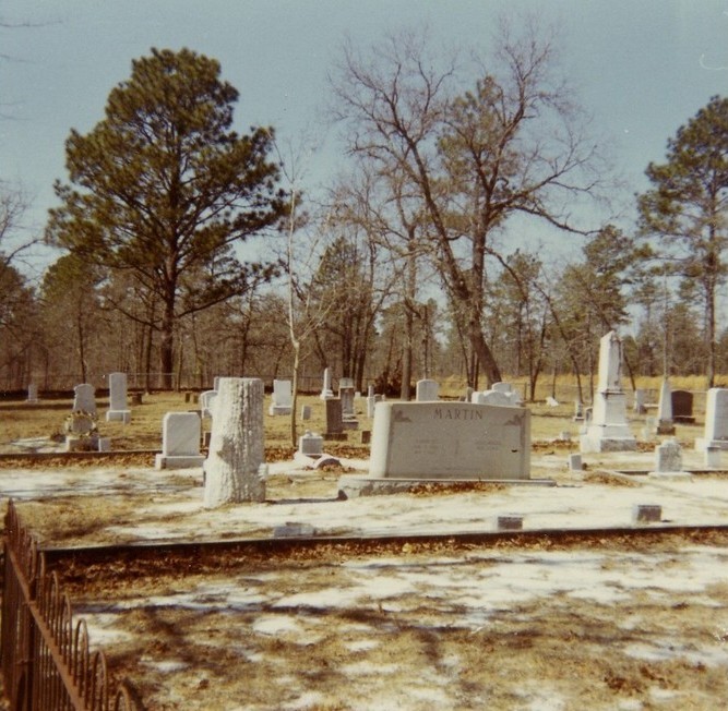
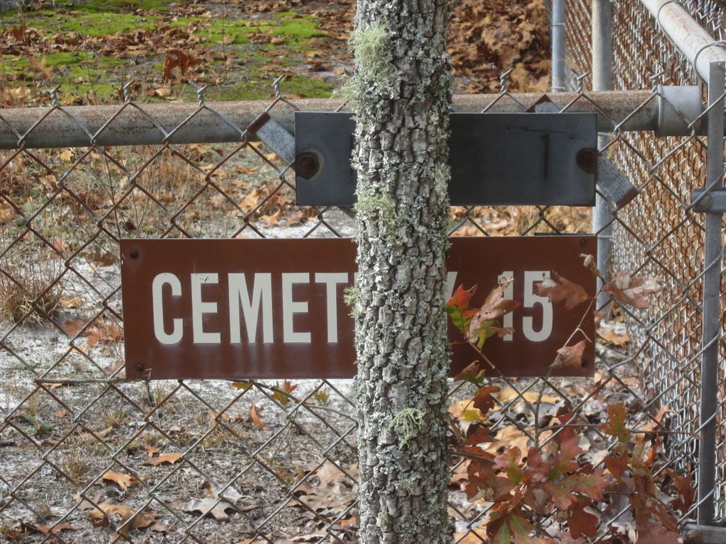
| Description | : | Cemetery is located off Sixth Division Road on Fort Jackson. It is labeled as Cemetery #15, which corresponds to its number on a 1980 Reservation Map by the Army Corps of Engineers. The information for this cemetery was obtained from the 1982 Eagle Scout project by Boy Scout Lael H. Hoopes. He compiled an inventory of the graves in the 26 cemeteries that were acquired by Fort Jackson in 1940 when the fort expanded to approximately 53,000 acres by acquiring land that was previously privately owned. This land included many small church and family cemeteries. The families of the deceased... Read More |
frequently asked questions (FAQ):
-
Where is Enon Cemetery?
Enon Cemetery is located at Columbia, Richland County ,South Carolina ,USA.
-
Enon Cemetery cemetery's updated grave count on graveviews.com?
0 memorials
-
Where are the coordinates of the Enon Cemetery?
Latitude: 34.0661011
Longitude: -80.8788986
Nearby Cemetories:
1. Macedonia Cemetery
Richland County, USA
Coordinate: 34.0483017, -80.8846970
2. Midway Methodist Church Cemetery
Columbia, Richland County, USA
Coordinate: 34.0756080, -80.8983890
3. Alpine Baptist Church Cemetery
Columbia, Richland County, USA
Coordinate: 34.0650500, -80.9053840
4. Old Macedonia Cemetery
Columbia, Richland County, USA
Coordinate: 34.0664260, -80.9073220
5. Corley Chapel Cemetery
Columbia, Richland County, USA
Coordinate: 34.0749454, -80.9081729
6. Ford Family Graves
Columbia, Richland County, USA
Coordinate: 34.0919930, -80.8771630
7. Northeast Presbyterian Church Cemetery
Columbia, Richland County, USA
Coordinate: 34.0961690, -80.8919480
8. Saint Davids Episcopal Church Cemetery
Columbia, Richland County, USA
Coordinate: 34.0961790, -80.8929210
9. Enon Southern Methodist Church Cemetery
Columbia, Richland County, USA
Coordinate: 34.0569680, -80.9173300
10. Fort Jackson National Cemetery
Columbia, Richland County, USA
Coordinate: 34.0900560, -80.8490750
11. Saint John Neumann Catholic Church Cemetery
Columbia, Richland County, USA
Coordinate: 34.1033800, -80.8967150
12. Spring Valley Pentecostal Holiness Church Cemetery
Pontiac, Richland County, USA
Coordinate: 34.1100630, -80.8961530
13. Spring Valley Presbyterian Memorial Gardens
Spring Valley, Richland County, USA
Coordinate: 34.1124482, -80.8804385
14. James Hammond Cemetery
Richland County, USA
Coordinate: 34.0263450, -80.9085110
15. Beulah Church Cemetery
Boyden Arbor, Richland County, USA
Coordinate: 34.0421982, -80.9332962
16. Saint Wesberry High Hill Cemetery
Horrell Hill, Richland County, USA
Coordinate: 34.0150400, -80.8758480
17. Mount Pleasant Baptist Church Cemetery
Richland County, USA
Coordinate: 34.0514000, -80.8178000
18. Jackson Creek Baptist Church Cemetery
Dentsville, Richland County, USA
Coordinate: 34.0807710, -80.9405490
19. Royal Pines Independent Holiness Church Cemetery
Pontiac, Richland County, USA
Coordinate: 34.1211310, -80.8694600
20. Richland County Cemetery
Pontiac, Richland County, USA
Coordinate: 34.1223570, -80.8677770
21. Spears Creek Baptist Church Cemetery
Pontiac, Richland County, USA
Coordinate: 34.1042140, -80.8249520
22. Salem Methodist Church Cemetery
Richland County, USA
Coordinate: 34.0886002, -80.8116989
23. LeGrand Road Cemetery
Columbia, Richland County, USA
Coordinate: 34.0895000, -80.9479300
24. Macedonia Baptist Church Cemetery
Columbia, Richland County, USA
Coordinate: 34.0322000, -80.9415000

