| Memorials | : | 14 |
| Location | : | Richland County, USA |
| Coordinate | : | 34.0886002, -80.8116989 |
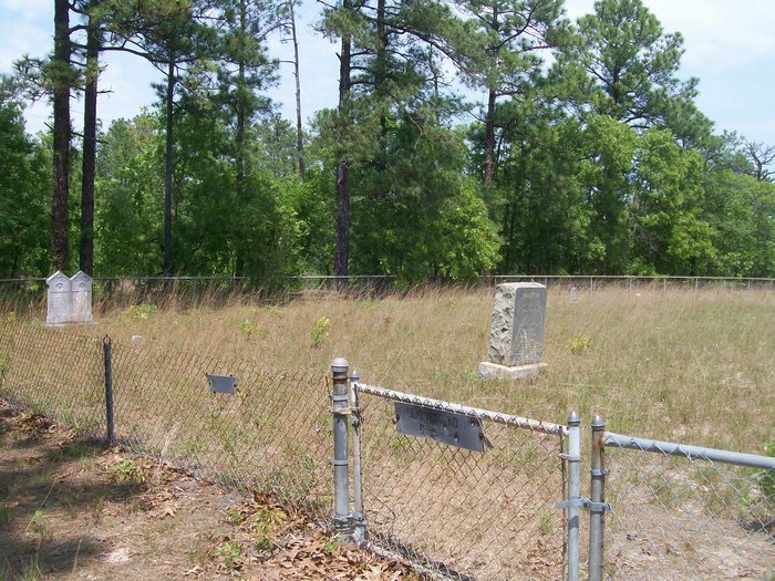
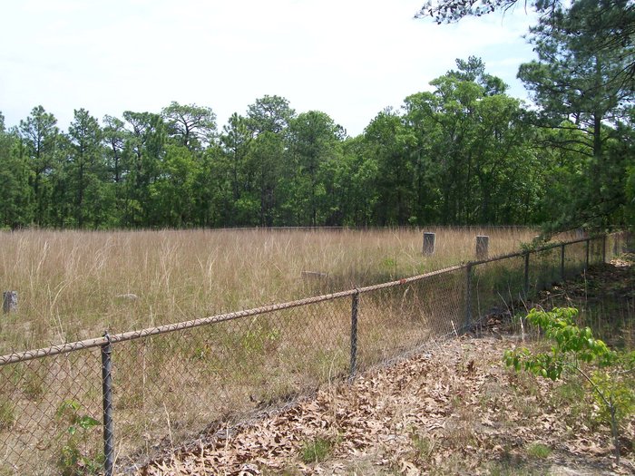
| Description | : | This cemetery is located on the grounds of Fort Jackson near Percival and Screaming Eagle Roads. It is labeled as "Cemetery #19", which corresponds to its number on a 1980 Reservation Map by the Army Corps of Engineers. The information for this cemetery was obtained froman 1982 Eagle Scout project that compiled an inventory of the graves in the 26 cemeteries that were acquired by Fort Jackson in 1940 when the fort expanded to approximately 53,000 acres by acquiring land that was previously privately owned. This land included many small church and family cemeteries. The families of the deceased... Read More |
frequently asked questions (FAQ):
-
Where is Salem Methodist Church Cemetery?
Salem Methodist Church Cemetery is located at Richland County ,South Carolina ,USA.
-
Salem Methodist Church Cemetery cemetery's updated grave count on graveviews.com?
14 memorials
-
Where are the coordinates of the Salem Methodist Church Cemetery?
Latitude: 34.0886002
Longitude: -80.8116989
Nearby Cemetories:
1. Spears Creek Baptist Church Cemetery
Pontiac, Richland County, USA
Coordinate: 34.1042140, -80.8249520
2. Fort Jackson National Cemetery
Columbia, Richland County, USA
Coordinate: 34.0900560, -80.8490750
3. Mount Pleasant Baptist Church Cemetery
Richland County, USA
Coordinate: 34.0514000, -80.8178000
4. Garrett Cemetery
Columbia, Richland County, USA
Coordinate: 34.0834100, -80.7535830
5. Bardell Graveyard (Defunct)
Richland County, USA
Coordinate: 34.0550003, -80.7628021
6. B. F. Bowen Cemetery
Columbia, Richland County, USA
Coordinate: 34.0673330, -80.7528330
7. Ford Family Graves
Columbia, Richland County, USA
Coordinate: 34.0919930, -80.8771630
8. Richland County Cemetery
Pontiac, Richland County, USA
Coordinate: 34.1223570, -80.8677770
9. Royal Pines Independent Holiness Church Cemetery
Pontiac, Richland County, USA
Coordinate: 34.1211310, -80.8694600
10. Three Oaks Tabernacle Church Cemetery
Lugoff, Kershaw County, USA
Coordinate: 34.1116830, -80.7472150
11. Oak Grove Baptist Church
Elgin, Kershaw County, USA
Coordinate: 34.1368770, -80.8513150
12. Enon Cemetery
Columbia, Richland County, USA
Coordinate: 34.0661011, -80.8788986
13. Greenhaven Memorial Gardens
Richland County, USA
Coordinate: 34.1479590, -80.8245330
14. Spring Valley Presbyterian Memorial Gardens
Spring Valley, Richland County, USA
Coordinate: 34.1124482, -80.8804385
15. Bible Holiness Mission Church Cemetery
Lugoff, Kershaw County, USA
Coordinate: 34.0804780, -80.7319210
16. Northeast Presbyterian Church Cemetery
Columbia, Richland County, USA
Coordinate: 34.0961690, -80.8919480
17. John Lee Kirkland Family Cemetery
Elgin, Kershaw County, USA
Coordinate: 34.1446560, -80.7662200
18. Saint Davids Episcopal Church Cemetery
Columbia, Richland County, USA
Coordinate: 34.0961790, -80.8929210
19. Highway Pentecostal Holiness Church Cemetery
Elgin, Kershaw County, USA
Coordinate: 34.1518770, -80.7822570
20. Sandy Run Protestant Methodist Church Cemetery
Pontiac, Richland County, USA
Coordinate: 34.1475990, -80.8548260
21. Higgins-Porter Cemetery
Elgin, Kershaw County, USA
Coordinate: 34.1366997, -80.7481003
22. Dalton Goff Family Cemetery
Elgin, Kershaw County, USA
Coordinate: 34.1521230, -80.7721060
23. Saint John Neumann Catholic Church Cemetery
Columbia, Richland County, USA
Coordinate: 34.1033800, -80.8967150
24. Macedonia Cemetery
Richland County, USA
Coordinate: 34.0483017, -80.8846970


