| Memorials | : | 0 |
| Location | : | Nesset kommune, Norway |
| Coordinate | : | 62.6659420, 8.1129100 |
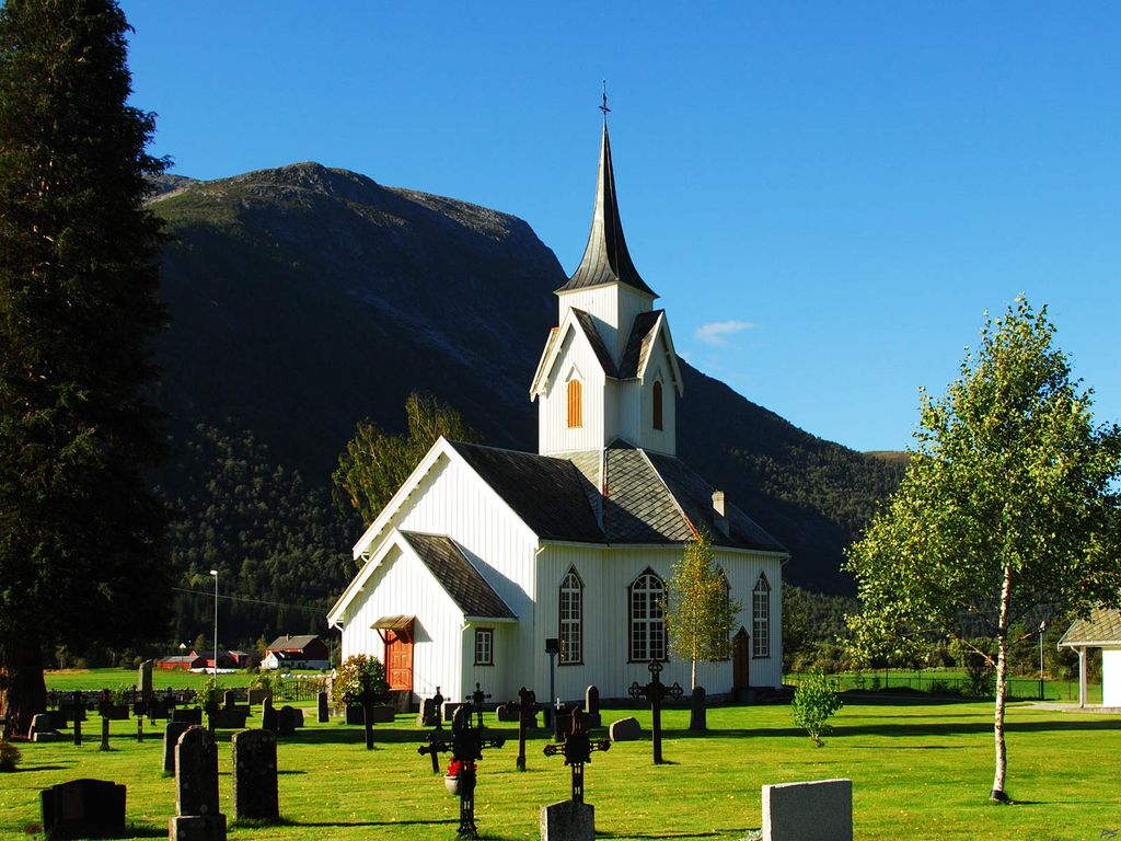
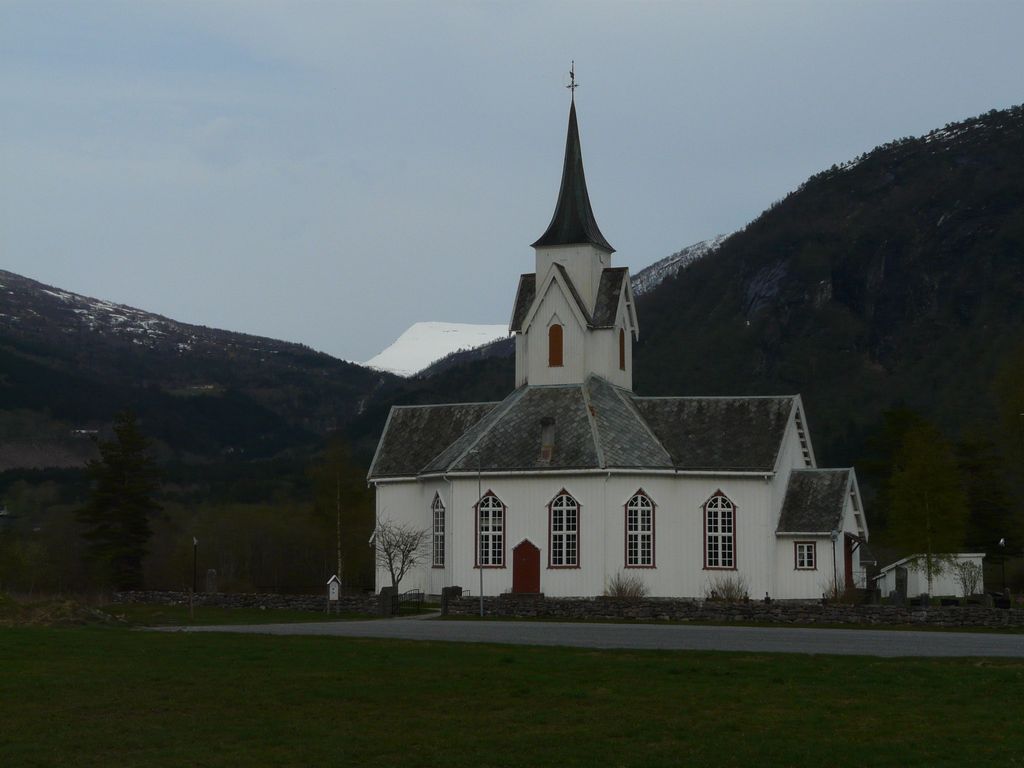
| Description | : | The Church in Eresfjord is known as the Sira Church. Eresfjord is a village in the municipality of Nesset in Møre og Romsdal county, Norway. The village is located along the Eira River between the Eresfjorden and the lake Eikesdalsvatnet. The mountain Skjorta lies just to the east of the village. The village of Myklebostad lies about 17 kilometres (11 mi) to the northwest through the Vistdal valley and the village of Boggestranda lies about 10 kilometres (6.2 mi) to the north. |
frequently asked questions (FAQ):
-
Where is Eresfjord Cemetery?
Eresfjord Cemetery is located at Fv 191 Nesset kommune ,Møre og Romsdal fylke ,Norway.
-
Eresfjord Cemetery cemetery's updated grave count on graveviews.com?
0 memorials
-
Where are the coordinates of the Eresfjord Cemetery?
Latitude: 62.6659420
Longitude: 8.1129100
Nearby Cemetories:
1. Øksendal Old Cemetery
Oksendalsora, Sunndal kommune, Norway
Coordinate: 62.7139050, 8.4293530
2. Øksendal Cemetery
Oksendalsora, Sunndal kommune, Norway
Coordinate: 62.7166020, 8.4310220
3. Hen Churchyard
Andalsnes, Rauma kommune, Norway
Coordinate: 62.5774668, 7.7914010
4. Aandalsnes Church Cemetery
Andalsnes, Rauma kommune, Norway
Coordinate: 62.5649430, 7.6819810
5. Osmarka Bedehus Cemetery
Gjemnes kommune, Norway
Coordinate: 62.8653140, 7.8751580
6. Grytten Churchyard
Andalsnes, Rauma kommune, Norway
Coordinate: 62.5526010, 7.6725270
7. Kleive Cemetery
Kleive, Molde kommune, Norway
Coordinate: 62.7991406, 7.6556246
8. Tingvoll Church Cemetery
Tingvoll, Tingvoll kommune, Norway
Coordinate: 62.9123766, 8.1816537
9. Sandnes Cemetery
Afarnes, Rauma kommune, Norway
Coordinate: 62.6313000, 7.5198540
10. Loykja Cemetery
Sunndalsora, Sunndal kommune, Norway
Coordinate: 62.6439840, 8.7299540
11. Stangvik Church and Cemetery
Stangvik, Surnadal kommune, Norway
Coordinate: 62.9170200, 8.4592500
12. Øre
Gjemnes kommune, Norway
Coordinate: 62.9200000, 7.7542000
13. Torjulvågen
Torjul, Tingvoll kommune, Norway
Coordinate: 62.9730714, 8.2505570
14. Røvik Cemetery
Rovika, Molde kommune, Norway
Coordinate: 62.7320560, 7.4241730
15. Øverdalen Gravsted
Andalsnes, Rauma kommune, Norway
Coordinate: 62.3356460, 8.0683020
16. Sekken kyrkje
Molde kommune, Norway
Coordinate: 62.6606700, 7.3823400
17. Kvernes Cemetery
Kvernes, Averøy kommune, Norway
Coordinate: 63.0018674, 7.7186825
18. Romfo Kirke Cemetery
Gjora, Sunndal kommune, Norway
Coordinate: 62.6024070, 8.9386060
19. Straumsnes Cemetery
Tingvoll, Tingvoll kommune, Norway
Coordinate: 63.0526770, 8.0248680
20. Åsskard Church Cemetery
Asskard, Surnadal kommune, Norway
Coordinate: 63.0179490, 8.4965090
21. Eide nye kirkegård
Eide, Eide kommune, Norway
Coordinate: 62.9182171, 7.4394277
22. Halsa
Halsa, Halsa kommune, Norway
Coordinate: 63.0755500, 8.2459500
23. Øye Church and Cemetery
Surnadalsora, Surnadal kommune, Norway
Coordinate: 62.9806500, 8.7186400
24. Tøndergaard Gravlund
Molde kommune, Norway
Coordinate: 62.7418120, 7.2093450


