
| Memorials | : | 0 |
| Location | : | Andalsnes, Rauma kommune, Norway |
| Coordinate | : | 62.3356460, 8.0683020 |
| Description | : | Possibly in the municipality of Rauma (which) was established on 1 January 1964 when the old municipalities of Eid (population: 381), Grytten (population: 3,683), Hen (population: 1,663), Voll (population: 1,163), and southern part of Veøy (population: 1,400) were all merged to form one large municipality. However, Rauma is NOT in the FAG list of towns in Møre og Romsdal. |
frequently asked questions (FAQ):
-
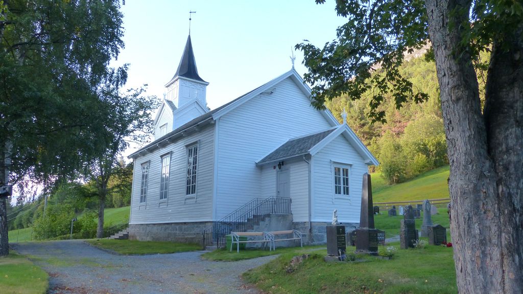
Where is Øverdalen Gravsted?
Øverdalen Gravsted is located at Andalsnes, Rauma kommune ,Møre og Romsdal fylke ,Norway.
-
Øverdalen Gravsted cemetery's updated grave count on graveviews.com?
0 memorials
-
Where are the coordinates of the Øverdalen Gravsted?
Latitude: 62.3356460
Longitude: 8.0683020
Nearby Cemetories:
1. Lesjaskog Churchyard
Lesja, Lesja kommune, Norway
Coordinate: 62.2329100, 8.3465130
2. Lesjaverk Churchyard
Lesja, Lesja kommune, Norway
Coordinate: 62.1891750, 8.5506530
3. Hen Churchyard
Andalsnes, Rauma kommune, Norway
Coordinate: 62.5774668, 7.7914010
4. Grytten Churchyard
Andalsnes, Rauma kommune, Norway
Coordinate: 62.5526010, 7.6725270
5. Aandalsnes Church Cemetery
Andalsnes, Rauma kommune, Norway
Coordinate: 62.5649430, 7.6819810
6. Eresfjord Cemetery
Nesset kommune, Norway
Coordinate: 62.6659420, 8.1129100
7. Sandnes Cemetery
Afarnes, Rauma kommune, Norway
Coordinate: 62.6313000, 7.5198540
8. Noddal Cemetery
Eidsdal, Norddal kommune, Norway
Coordinate: 62.2559322, 7.2371636
9. Øksendal Old Cemetery
Oksendalsora, Sunndal kommune, Norway
Coordinate: 62.7139050, 8.4293530
10. Øksendal Cemetery
Oksendalsora, Sunndal kommune, Norway
Coordinate: 62.7166020, 8.4310220
11. Lesja Church Cemetery (Lesja kyrkje)
Lesja, Lesja kommune, Norway
Coordinate: 62.1121506, 8.8549071
12. Nordberg Kyrkjegard
Skjåk kommune, Norway
Coordinate: 61.9058600, 8.1540600
13. Loykja Cemetery
Sunndalsora, Sunndal kommune, Norway
Coordinate: 62.6439840, 8.7299540
14. Sekken kyrkje
Molde kommune, Norway
Coordinate: 62.6606700, 7.3823400
15. Geiranger Church Cemetery
Stranda kommune, Norway
Coordinate: 62.0988477, 7.2071905
16. Skjaak Cemetery
Skjåk kommune, Norway
Coordinate: 61.8776370, 8.3742820
17. Romfo Kirke Cemetery
Gjora, Sunndal kommune, Norway
Coordinate: 62.6024070, 8.9386060
18. Stordal Gamle Kirke
Stordal, Stordal kommune, Norway
Coordinate: 62.3839700, 7.0143400
19. Røvik Cemetery
Rovika, Molde kommune, Norway
Coordinate: 62.7320560, 7.4241730
20. Stordal Nye Kirke
Stordal, Stordal kommune, Norway
Coordinate: 62.3826000, 7.0008000
21. Kleive Cemetery
Kleive, Molde kommune, Norway
Coordinate: 62.7991406, 7.6556246
22. Ødegård
Stranda kommune, Norway
Coordinate: 62.3166064, 6.9346576
23. Ødegaard Cemetery
Stranda, Stranda kommune, Norway
Coordinate: 62.3162170, 6.9345400
24. Osmarka Bedehus Cemetery
Gjemnes kommune, Norway
Coordinate: 62.8653140, 7.8751580