| Memorials | : | 29 |
| Location | : | Hayfield, Dodge County, USA |
| Coordinate | : | 43.8849983, -92.8585968 |
frequently asked questions (FAQ):
-
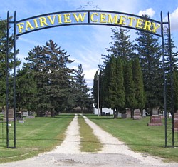
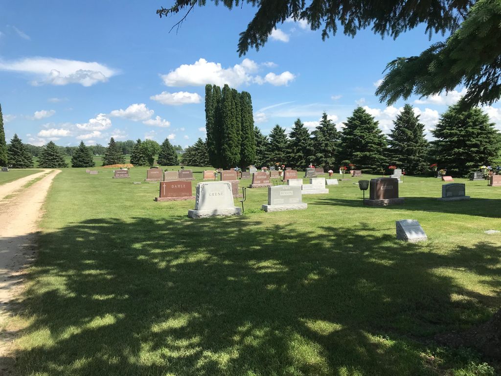
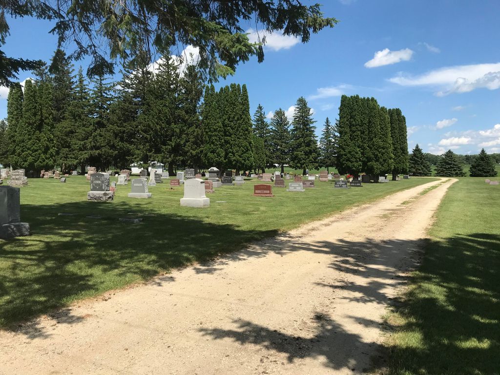
Where is Fairview Cemetery?
Fairview Cemetery is located at Hayfield, Dodge County ,Minnesota ,USA.
-
Fairview Cemetery cemetery's updated grave count on graveviews.com?
24 memorials
-
Where are the coordinates of the Fairview Cemetery?
Latitude: 43.8849983
Longitude: -92.8585968
Nearby Cemetories:
1. Trinity Lutheran Cemetery
Waltham, Mower County, USA
Coordinate: 43.8022003, -92.9103012
2. Waltham Cemetery
Waltham, Mower County, USA
Coordinate: 43.7905998, -92.8685989
3. Saint Michaels Lutheran Cemetery
Waltham, Mower County, USA
Coordinate: 43.7966690, -92.9083328
4. Evanger Lutheran Church Cemetery
Sargeant, Mower County, USA
Coordinate: 43.8416710, -92.7300034
5. West Saint Olaf Cemetery
Vernon, Dodge County, USA
Coordinate: 43.9266701, -92.7177811
6. Westfield Lutheran Cemetery
Dodge County, USA
Coordinate: 43.9214400, -93.0047700
7. Saint Columbanus Rural Catholic Cemetery
Dodge County, USA
Coordinate: 43.8560982, -93.0147018
8. First Lutheran Cemetery
Dodge County, USA
Coordinate: 43.8560982, -93.0147018
9. Saint Johns Lutheran Cemetery
Sargeant, Mower County, USA
Coordinate: 43.7751083, -92.7908936
10. Udolpho Cemetery
Udolpho, Mower County, USA
Coordinate: 43.8011093, -93.0002823
11. Blooming Prairie Cemetery
Blooming Prairie, Steele County, USA
Coordinate: 43.8592987, -93.0469284
12. Saint Columbanus Cemetery
Blooming Prairie, Steele County, USA
Coordinate: 43.8587303, -93.0468216
13. Zion Lutheran Church Cemetery
Sargeant, Mower County, USA
Coordinate: 43.7891693, -92.7161102
14. Brown Cemetery
Brownsdale, Mower County, USA
Coordinate: 43.7447014, -92.8713989
15. Ashland-Ripley Cemetery
Dodge Center, Dodge County, USA
Coordinate: 44.0222206, -92.9258270
16. South Zumbro Lutheran Church Cemetery
Salem Corners, Olmsted County, USA
Coordinate: 43.9517670, -92.6777878
17. Tanner Family Cemetery
Brownsdale, Mower County, USA
Coordinate: 43.7354698, -92.8193130
18. Riverside Cemetery
Dodge Center, Dodge County, USA
Coordinate: 44.0393982, -92.8597031
19. Maple Grove Cemetery
Kasson, Dodge County, USA
Coordinate: 44.0214005, -92.7553024
20. Lansing Cemetery
Lansing, Mower County, USA
Coordinate: 43.7463913, -92.9649963
21. Zion Cemetery
Rock Dell, Olmsted County, USA
Coordinate: 43.9297218, -92.6377792
22. Red Oak Grove Cemetery
Austin, Mower County, USA
Coordinate: 43.7921982, -93.0488968
23. East Saint Olaf Lutheran Church Cemetery
Rock Dell, Olmsted County, USA
Coordinate: 43.9327812, -92.6383286
24. Greenwood Cemetery
Brownsdale, Mower County, USA
Coordinate: 43.7182999, -92.8696976


