| Memorials | : | 1 |
| Location | : | De Soto, Washington County, USA |
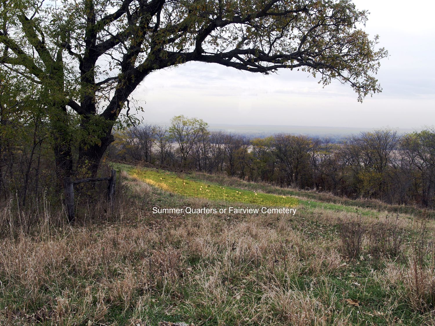
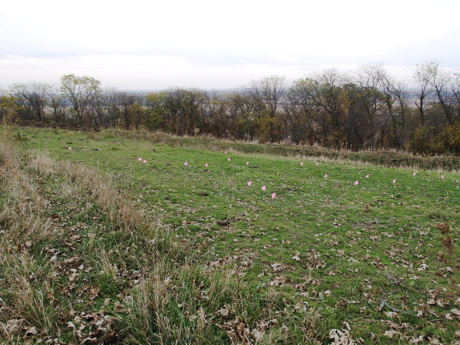
| Description | : | Fair View Cemetery was established in Indian territory in 1847 by John D. Lee, superintendent of Mormon Brigham Young's farming operation known as Summer Quarters. Summer Quarters was located 13 miles north of Winter Quarters (Florence, Nebraska)in what would become Washington County, Nebraska Territory seven years later. Its location today would be near Hiway 75 between Ft. Calhoun and Blair, Nebraska on a stretch of land between Moore's Creek and Mill Creek near the site of the historic community of DeSoto, Nebraska. Nothing is left of that town today and the Ft. Calhoun Nuclear Power Plant exists in that... Read More |
frequently asked questions (FAQ):
-
Where is Fairview Cemetery?
Fairview Cemetery is located at De Soto, Washington County, USA.
-
Fairview Cemetery cemetery's updated grave count on graveviews.com?
1 memorials
Nearby Cemetories:
1. Fontanelle Lutheran Cemetery
Fontanelle, Washington County, USA
Coordinate: 41.5814060, -96.2698940
2. Blair Potters Field
Washington County, USA
Coordinate: 41.5824100, -96.3866000
3. De Soto Cemetery
De Soto, Washington County, USA
Coordinate: 41.4225006, -96.2241974
4. Brewster Cemetery
Kennard, Washington County, USA
Coordinate: 41.4597015, -96.3392029
5. Kennard Cemetery
Kennard, Washington County, USA
Coordinate: 41.4664050, -96.3126470
6. Herman Cemetery
Herman, Washington County, USA
Coordinate: 41.5060997, -96.3677979
7. Thone Cemetery
Herman, Washington County, USA
Coordinate: 41.5964012, -96.4300003
8. West Admah Cemetery
Washington County, USA
Coordinate: 41.3932991, -95.9828033
9. Fort Calhoun Cemetery
Fort Calhoun, Washington County, USA
Coordinate: 41.6130981, -96.3478012
10. Pioneer Memorial Cemetery
Fort Calhoun, Washington County, USA
Coordinate: 41.5508003, -96.1185989
11. Wilcox Cemetery
Fort Calhoun, Washington County, USA
Coordinate: 41.5867004, -96.1727982
12. Lincoln Lutheran Cemetery
Orum, Washington County, USA
Coordinate: 41.5493600, -96.1187700
13. Rose Hill Cemetery
Orum, Washington County, USA
Coordinate: 41.5814060, -96.2698940
14. Telbasta Cemetery
Washington County, USA
Coordinate: 41.5824100, -96.3866000
15. Prairie View Cemetery
Washington, Washington County, USA
Coordinate: 41.4225006, -96.2241974
16. Arlington Cemetery
Arlington, Washington County, USA
Coordinate: 41.4597015, -96.3392029
17. Colby-Morley Cemetery
Arlington, Washington County, USA
Coordinate: 41.4664050, -96.3126470
18. Gods Acre Cemetery
Arlington, Washington County, USA
Coordinate: 41.5060997, -96.3677979
19. Immanuel Cemetery Old
Washington County, USA
Coordinate: 41.5964012, -96.4300003
20. Shipley Cemetery
Washington County, USA
Coordinate: 41.3932991, -95.9828033
21. Vacoma Cemetery
Washington County, USA
Coordinate: 41.6130981, -96.3478012
22. Blair Cemetery
Blair, Washington County, USA
Coordinate: 41.5508003, -96.1185989
23. Cuming City Cemetery
Blair, Washington County, USA
Coordinate: 41.5867004, -96.1727982
24. Holy Cross Cemetery
Blair, Washington County, USA
Coordinate: 41.5493600, -96.1187700


