| Memorials | : | 19 |
| Location | : | Bellbrook, Greene County, USA |
| Coordinate | : | 39.6258888, -84.0815048 |
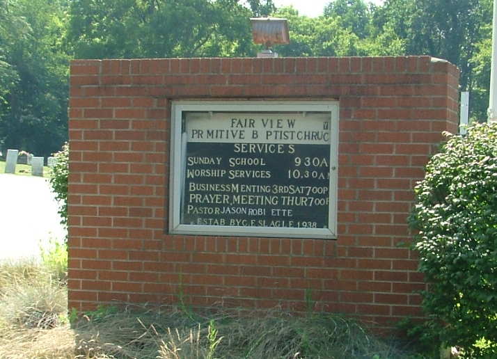
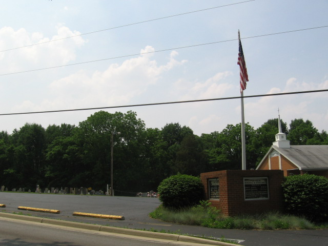
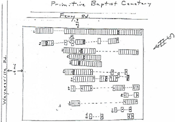
| Description | : | From 1812, this cemetery was originally known as Carmen Burial Grounds and is the final resting place of many early area families. The cemetery is located in Sugar Creek Township, Greene County, Ohio, and is # 4318 (Primitive Baptist Cemetery) in “Ohio Cemeteries 1803-2003”, compiled by the Ohio Genealogical Society. The U.S. Geological Survey (USGS) Geographic Names Information System (GNIS) feature ID for the cemetery is 1961510 (Primitive Baptist Cemetery). |
frequently asked questions (FAQ):
-
Where is Fairview Primitive Baptist Church Cemetery?
Fairview Primitive Baptist Church Cemetery is located at Ferry Road Bellbrook, Greene County ,Ohio , 45305USA.
-
Fairview Primitive Baptist Church Cemetery cemetery's updated grave count on graveviews.com?
18 memorials
-
Where are the coordinates of the Fairview Primitive Baptist Church Cemetery?
Latitude: 39.6258888
Longitude: -84.0815048
Nearby Cemetories:
1. Bellbrook Cemetery
Bellbrook, Greene County, USA
Coordinate: 39.6441480, -84.0697750
2. Pioneer Cemetery
Bellbrook, Greene County, USA
Coordinate: 39.6464005, -84.0691986
3. Fallis Pioneer Cemetery
Bellbrook, Greene County, USA
Coordinate: 39.6553690, -84.0881860
4. Huston Cemetery
Bellbrook, Greene County, USA
Coordinate: 39.6576080, -84.0756870
5. Middle Run Cemetery
Bellbrook, Greene County, USA
Coordinate: 39.5816800, -84.0745480
6. Sugar Creek Friends Cemetery
Centerville, Montgomery County, USA
Coordinate: 39.6204681, -84.1393509
7. McLane Cemetery
Beavercreek, Greene County, USA
Coordinate: 39.6735916, -84.1019592
8. Centerville Cemetery
Centerville, Montgomery County, USA
Coordinate: 39.6307983, -84.1539001
9. Sugar Creek Baptist Church Cemetery
Centerville, Montgomery County, USA
Coordinate: 39.6367493, -84.1579666
10. Marshall Cemetery
Bellbrook, Greene County, USA
Coordinate: 39.6780200, -84.0392500
11. Epiphanys Lutheran Memorial Garden
Dayton, Montgomery County, USA
Coordinate: 39.6510760, -84.1548340
12. Spring Valley Cemetery
Spring Valley, Greene County, USA
Coordinate: 39.6127010, -84.0005030
13. Cain Cemetery
Spring Valley, Greene County, USA
Coordinate: 39.6187250, -83.9947030
14. Mount Zion Park Cemetery
Beavercreek, Greene County, USA
Coordinate: 39.6925011, -84.0674973
15. Roxanna Cemetery (Defunct)
Spring Valley, Greene County, USA
Coordinate: 39.5867004, -84.0089035
16. Mount Zion Shoup Cemetery
Beavercreek, Greene County, USA
Coordinate: 39.6935600, -84.0651600
17. Mount Holly Cemetery
Mount Holly, Warren County, USA
Coordinate: 39.5630989, -84.0342026
18. Saint Georges Episcopal Church Memorial Garden
Dayton, Montgomery County, USA
Coordinate: 39.6672760, -84.1608950
19. Lytle Cemetery
Lytle, Warren County, USA
Coordinate: 39.5605830, -84.1301230
20. Woodbourne Cemetery
Montgomery County, USA
Coordinate: 39.6588783, -84.1727676
21. Rehoboth Cemetery
Montgomery County, USA
Coordinate: 39.5833015, -84.1669006
22. Morgan Cemetery
Kettering, Montgomery County, USA
Coordinate: 39.7033830, -84.1067830
23. Compton Farm Cemetery
Waynesville, Warren County, USA
Coordinate: 39.5716110, -84.0043610
24. Beavertown Cemetery
Beavertown, Montgomery County, USA
Coordinate: 39.6981010, -84.1288986


