
| Memorials | : | 0 |
| Location | : | Tyus, Carroll County, USA |
| Coordinate | : | 33.4635970, -85.2005200 |
| Description | : | From the intersection of Highway 5 and Stoney Point Road, turn south on Stoney Point Road. The cemetery is 1.0 mile from Highway 5 on the right side of the road. |
frequently asked questions (FAQ):
-
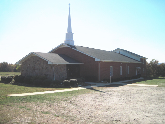
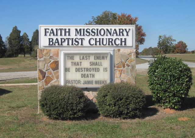
Where is Faith Missionary Baptist Church Cemetery?
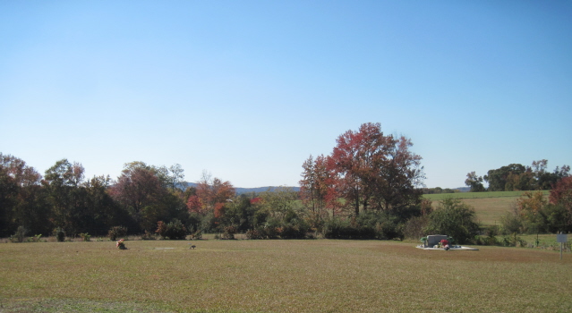
Faith Missionary Baptist Church Cemetery is located at 595 Stoney Point Road Tyus, Carroll County ,Georgia ,USA.
-
Faith Missionary Baptist Church Cemetery cemetery's updated grave count on graveviews.com?
0 memorials
-
Where are the coordinates of the Faith Missionary Baptist Church Cemetery?
Latitude: 33.4635970
Longitude: -85.2005200
Nearby Cemetories:
1. Tyus Baptist Church Cemetery
Tyus, Carroll County, USA
Coordinate: 33.4681015, -85.1964035
2. Laurel Hill Cemetery
Carroll County, USA
Coordinate: 33.4644300, -85.1837300
3. Mabry-Smith Cemetery
Tyus, Carroll County, USA
Coordinate: 33.4660320, -85.1805210
4. Arnold Chapel Cemetery
Veal, Carroll County, USA
Coordinate: 33.4418090, -85.1926450
5. Pleasant Grove Baptist Church Cemetery
Joel, Carroll County, USA
Coordinate: 33.4761009, -85.2322006
6. Young Cemetery
Roopville, Carroll County, USA
Coordinate: 33.4641140, -85.1585590
7. Farmer Cemetery
Tyus, Carroll County, USA
Coordinate: 33.4967430, -85.1848550
8. Veal Community Cemetery
Roopville, Carroll County, USA
Coordinate: 33.4393997, -85.2319031
9. Craven-Gentry Cemetery
Carroll County, USA
Coordinate: 33.4548100, -85.1564430
10. Hillside Missionary Baptist Church Cemetery
Carroll County, USA
Coordinate: 33.4968987, -85.1772003
11. Green Family Cemetery
Roopville, Carroll County, USA
Coordinate: 33.4669090, -85.1537850
12. Stewart Cemetery
Carrollton, Carroll County, USA
Coordinate: 33.4654230, -85.2480700
13. Word Cemetery
Bowdon, Carroll County, USA
Coordinate: 33.5013200, -85.1679900
14. Marlow-Payne Family Cemetery
Carrollton, Carroll County, USA
Coordinate: 33.5054570, -85.1734940
15. Victory Church Road Baptist Church Cemetery
Victory, Carroll County, USA
Coordinate: 33.5101980, -85.2118490
16. Bethesda Cemetery
Carrollton, Carroll County, USA
Coordinate: 33.4928017, -85.1536026
17. Steed Family Cemetery
Roopville, Carroll County, USA
Coordinate: 33.4848940, -85.1477520
18. Veal Family Cemetery
Roopville, Carroll County, USA
Coordinate: 33.4692540, -85.1416830
19. Gentry-Bloodworth Cemetery
Roopville, Carroll County, USA
Coordinate: 33.4648680, -85.1407920
20. Victory United Methodist Church Cemetery
Victory, Carroll County, USA
Coordinate: 33.5156010, -85.2048540
21. Union Cemetery
Roopville, Carroll County, USA
Coordinate: 33.4641991, -85.1378021
22. Lummie Layton Cemetery
Heard County, USA
Coordinate: 33.4117012, -85.1911011
23. Roopville City Cemetery
Roopville, Carroll County, USA
Coordinate: 33.4566994, -85.1335983
24. Beck-Marlow-Smith Cemetery
Bowdon, Carroll County, USA
Coordinate: 33.4311350, -85.2560490