
| Memorials | : | 0 |
| Location | : | Roopville, Carroll County, USA |
| Coordinate | : | 33.4848940, -85.1477520 |
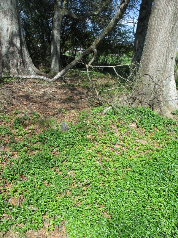
| Description | : | Map 82, Land District 11, Land Lot 124, Parcel 64-25 N 33 29.093', W 085 08.865' From Carrollton go west on Highway 166, Turn left on Tyus-Carrollton Road. Turn left on Bethesda Church Road; then left on Walker Road. The Cemetery is located on Walker Road just before house No. 324 on the right side of the road, approximately 500 yards in the tree line on the back side of the pasture behind this house. There are several graves in this cemetery. Surveyed by Sam Pyle and J.P. Rowe, February 10, 2003. |
frequently asked questions (FAQ):
-
Where is Steed Family Cemetery?
Steed Family Cemetery is located at Walker Road Roopville, Carroll County ,Georgia ,USA.
-
Steed Family Cemetery cemetery's updated grave count on graveviews.com?
0 memorials
-
Where are the coordinates of the Steed Family Cemetery?
Latitude: 33.4848940
Longitude: -85.1477520
Nearby Cemetories:
1. Bethesda Cemetery
Carrollton, Carroll County, USA
Coordinate: 33.4928017, -85.1536026
2. Veal Family Cemetery
Roopville, Carroll County, USA
Coordinate: 33.4692540, -85.1416830
3. Green Family Cemetery
Roopville, Carroll County, USA
Coordinate: 33.4669090, -85.1537850
4. Bonner Cemetery
Roopville, Carroll County, USA
Coordinate: 33.4939003, -85.1271973
5. Gentry-Bloodworth Cemetery
Roopville, Carroll County, USA
Coordinate: 33.4648680, -85.1407920
6. Union Cemetery
Roopville, Carroll County, USA
Coordinate: 33.4641991, -85.1378021
7. Young Cemetery
Roopville, Carroll County, USA
Coordinate: 33.4641140, -85.1585590
8. Word Cemetery
Bowdon, Carroll County, USA
Coordinate: 33.5013200, -85.1679900
9. Hillside Missionary Baptist Church Cemetery
Carroll County, USA
Coordinate: 33.4968987, -85.1772003
10. Staples Family Cemetery
Roopville, Carroll County, USA
Coordinate: 33.4604820, -85.1310830
11. Prickett Cemetery
Roopville, Carroll County, USA
Coordinate: 33.4841450, -85.1136590
12. Marlow-Payne Family Cemetery
Carrollton, Carroll County, USA
Coordinate: 33.5054570, -85.1734940
13. Roopville City Cemetery
Roopville, Carroll County, USA
Coordinate: 33.4566994, -85.1335983
14. Craven-Gentry Cemetery
Carroll County, USA
Coordinate: 33.4548100, -85.1564430
15. Pleasant Grove Baptist Church Cemetery
Roopville, Carroll County, USA
Coordinate: 33.4592018, -85.1252975
16. Farmer Cemetery
Tyus, Carroll County, USA
Coordinate: 33.4967430, -85.1848550
17. Mabry-Smith Cemetery
Tyus, Carroll County, USA
Coordinate: 33.4660320, -85.1805210
18. Roopville Road Baptist Church Cemetery
Carroll County, USA
Coordinate: 33.4753070, -85.1082940
19. Lees Chapel First Congregational Methodist Cemeter
Carrollton, Carroll County, USA
Coordinate: 33.5196991, -85.1421967
20. Laurel Hill Cemetery
Carroll County, USA
Coordinate: 33.4644300, -85.1837300
21. Lambert Cemetery
Carrollton, Carroll County, USA
Coordinate: 33.5031610, -85.1000880
22. Tyus Baptist Church Cemetery
Tyus, Carroll County, USA
Coordinate: 33.4681015, -85.1964035
23. Holy Ground Baptist Church Cemetery
Roopville, Carroll County, USA
Coordinate: 33.4872050, -85.0930600
24. Owensby Family Cemetery
Tyus, Carroll County, USA
Coordinate: 33.5318600, -85.1530700