
| Memorials | : | 0 |
| Location | : | Roopville, Carroll County, USA |
| Coordinate | : | 33.4641140, -85.1585590 |
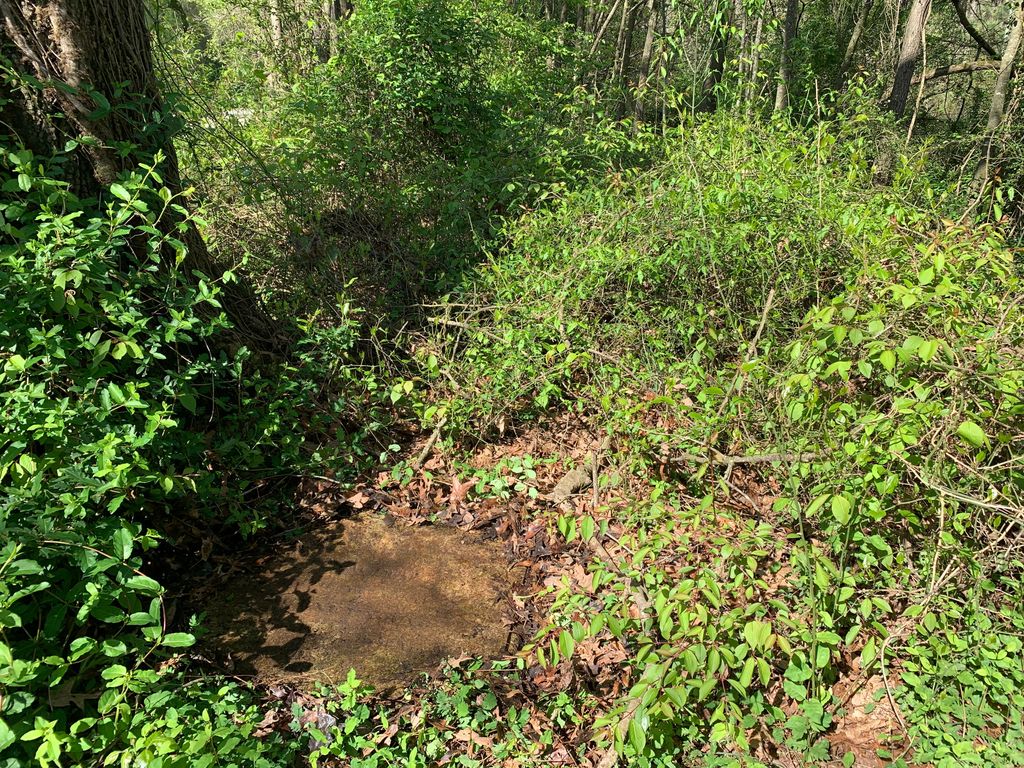
| Description | : | From Roopville go west on Highway 5 to Craven Road. Go about 50 yards past Craven Road and the cemetery is on the north side of the road, about 60 feet from highway. The cemetery located under a large oak tree, is in poor condition; limbs have fallen and marble slabs are broken. There are possibly 3 or 4 graves here. |
frequently asked questions (FAQ):
-
Where is Young Cemetery?
Young Cemetery is located at Roopville, Carroll County ,Georgia ,USA.
-
Young Cemetery cemetery's updated grave count on graveviews.com?
0 memorials
-
Where are the coordinates of the Young Cemetery?
Latitude: 33.4641140
Longitude: -85.1585590
Nearby Cemetories:
1. Green Family Cemetery
Roopville, Carroll County, USA
Coordinate: 33.4669090, -85.1537850
2. Craven-Gentry Cemetery
Carroll County, USA
Coordinate: 33.4548100, -85.1564430
3. Gentry-Bloodworth Cemetery
Roopville, Carroll County, USA
Coordinate: 33.4648680, -85.1407920
4. Veal Family Cemetery
Roopville, Carroll County, USA
Coordinate: 33.4692540, -85.1416830
5. Union Cemetery
Roopville, Carroll County, USA
Coordinate: 33.4641991, -85.1378021
6. Mabry-Smith Cemetery
Tyus, Carroll County, USA
Coordinate: 33.4660320, -85.1805210
7. Laurel Hill Cemetery
Carroll County, USA
Coordinate: 33.4644300, -85.1837300
8. Roopville City Cemetery
Roopville, Carroll County, USA
Coordinate: 33.4566994, -85.1335983
9. Steed Family Cemetery
Roopville, Carroll County, USA
Coordinate: 33.4848940, -85.1477520
10. Staples Family Cemetery
Roopville, Carroll County, USA
Coordinate: 33.4604820, -85.1310830
11. Pleasant Grove Baptist Church Cemetery
Roopville, Carroll County, USA
Coordinate: 33.4592018, -85.1252975
12. Bethesda Cemetery
Carrollton, Carroll County, USA
Coordinate: 33.4928017, -85.1536026
13. Tyus Baptist Church Cemetery
Tyus, Carroll County, USA
Coordinate: 33.4681015, -85.1964035
14. Faith Missionary Baptist Church Cemetery
Tyus, Carroll County, USA
Coordinate: 33.4635970, -85.2005200
15. Arnold Chapel Cemetery
Veal, Carroll County, USA
Coordinate: 33.4418090, -85.1926450
16. Hillside Missionary Baptist Church Cemetery
Carroll County, USA
Coordinate: 33.4968987, -85.1772003
17. Word Cemetery
Bowdon, Carroll County, USA
Coordinate: 33.5013200, -85.1679900
18. Farmer Cemetery
Tyus, Carroll County, USA
Coordinate: 33.4967430, -85.1848550
19. Bonner Cemetery
Roopville, Carroll County, USA
Coordinate: 33.4939003, -85.1271973
20. Prickett Cemetery
Roopville, Carroll County, USA
Coordinate: 33.4841450, -85.1136590
21. Marlow-Payne Family Cemetery
Carrollton, Carroll County, USA
Coordinate: 33.5054570, -85.1734940
22. Roopville Road Baptist Church Cemetery
Carroll County, USA
Coordinate: 33.4753070, -85.1082940
23. Duke Family Cemetery
Carroll County, USA
Coordinate: 33.4324890, -85.1112120
24. Providence Baptist Church Cemetery
Roopville, Carroll County, USA
Coordinate: 33.4272880, -85.1159010