
| Memorials | : | 8 |
| Location | : | Scott Township, Brown County, USA |
| Coordinate | : | 38.9247820, -83.9377760 |
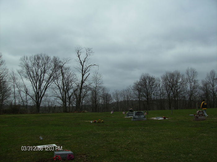
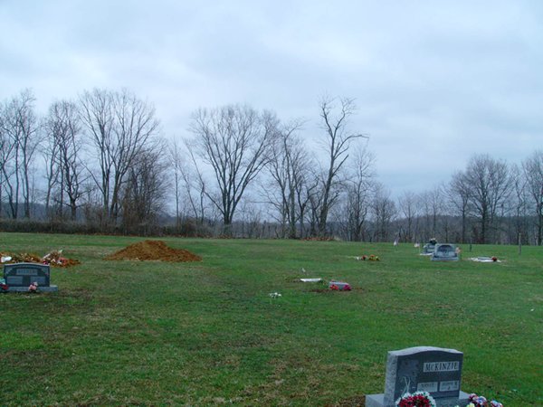
| Description | : | The cemetery is located about 200 feet east of White Oak Valley Road (County Road 21) about 0.1 miles north of its intersection with Pierce Road (County Road 35). The cemetery is located in Scott Township, Brown County, Ohio, and is # 1213 (Farmers Chapel Cemetery) in “Ohio Cemeteries 1803-2003”, compiled by the Ohio Genealogical Society. The cemetery is registered with the Ohio Division of Real Estate and Professional Licensing (ODRE) as Farmers Chapel with registration license number CGR.0000981494. The U.S. Geological Survey (USGS) Geographic Names Information System (GNIS) feature ID for the cemetery is 1699127 (Farmers Chapel... Read More |
frequently asked questions (FAQ):
-
Where is Farmers Chapel Cemetery?
Farmers Chapel Cemetery is located at 3495 White Oak Valley Road (County Road 21) Scott Township, Brown County ,Ohio , 45121USA.
-
Farmers Chapel Cemetery cemetery's updated grave count on graveviews.com?
8 memorials
-
Where are the coordinates of the Farmers Chapel Cemetery?
Latitude: 38.9247820
Longitude: -83.9377760
Nearby Cemetories:
1. Unity Cemetery
Georgetown, Brown County, USA
Coordinate: 38.9219017, -83.9467010
2. Sanders Cemetery
Hamersville, Brown County, USA
Coordinate: 38.9367020, -83.9352320
3. Pickering Cemetery
Georgetown, Brown County, USA
Coordinate: 38.9172390, -83.9239670
4. Rachford Cemetery
Wahlsburg, Brown County, USA
Coordinate: 38.9178000, -83.9204900
5. Ralston Cemetery
Scott Township, Brown County, USA
Coordinate: 38.9403000, -83.9432983
6. McCall Cemetery
Scott Township, Brown County, USA
Coordinate: 38.9325760, -83.9171320
7. Rich Family Cemetery
Hamersville, Brown County, USA
Coordinate: 38.9207517, -83.9606343
8. Barngrover Family Cemetery
Wahlsburg, Brown County, USA
Coordinate: 38.9317390, -83.9115140
9. Davidson Cemetery
Scott Township, Brown County, USA
Coordinate: 38.9360300, -83.9128290
10. Berry Family Cemetery
Pleasant Township, Brown County, USA
Coordinate: 38.9047000, -83.9218000
11. Penny Family Cemetery
Scott Township, Brown County, USA
Coordinate: 38.9515830, -83.9462780
12. Jacobs Family Cemetery
Georgetown, Brown County, USA
Coordinate: 38.8988753, -83.9182039
13. Kimball Family Cemetery
New Hope, Brown County, USA
Coordinate: 38.9547650, -83.9071960
14. Young Cemetery
New Hope, Brown County, USA
Coordinate: 38.9580994, -83.9119034
15. Murphy Cemetery
Feesburg, Brown County, USA
Coordinate: 38.9000880, -83.9803630
16. Hamersville Cemetery
Hamersville, Brown County, USA
Coordinate: 38.9275017, -83.9927979
17. Confidence Cemetery
Georgetown, Brown County, USA
Coordinate: 38.8852997, -83.9000015
18. Infirmary Cemetery
Georgetown, Brown County, USA
Coordinate: 38.8759410, -83.9224280
19. Warner Cemetery
Neals Corner, Brown County, USA
Coordinate: 38.9730988, -83.9563980
20. Neal Cemetery
Clark Township, Brown County, USA
Coordinate: 38.9614280, -83.9860690
21. Hendrixson Cemetery
Scott Township, Brown County, USA
Coordinate: 38.9749985, -83.9132996
22. Applegate Cemetery
New Hope, Brown County, USA
Coordinate: 38.9716180, -83.9008720
23. Eden Cemetery
Feesburg, Brown County, USA
Coordinate: 38.8683014, -83.9589005
24. West Fork Cemetery
Franklin Township, Brown County, USA
Coordinate: 38.9105988, -83.8578033