| Memorials | : | 212 |
| Location | : | Georgetown, Brown County, USA |
| Coordinate | : | 38.8852997, -83.9000015 |
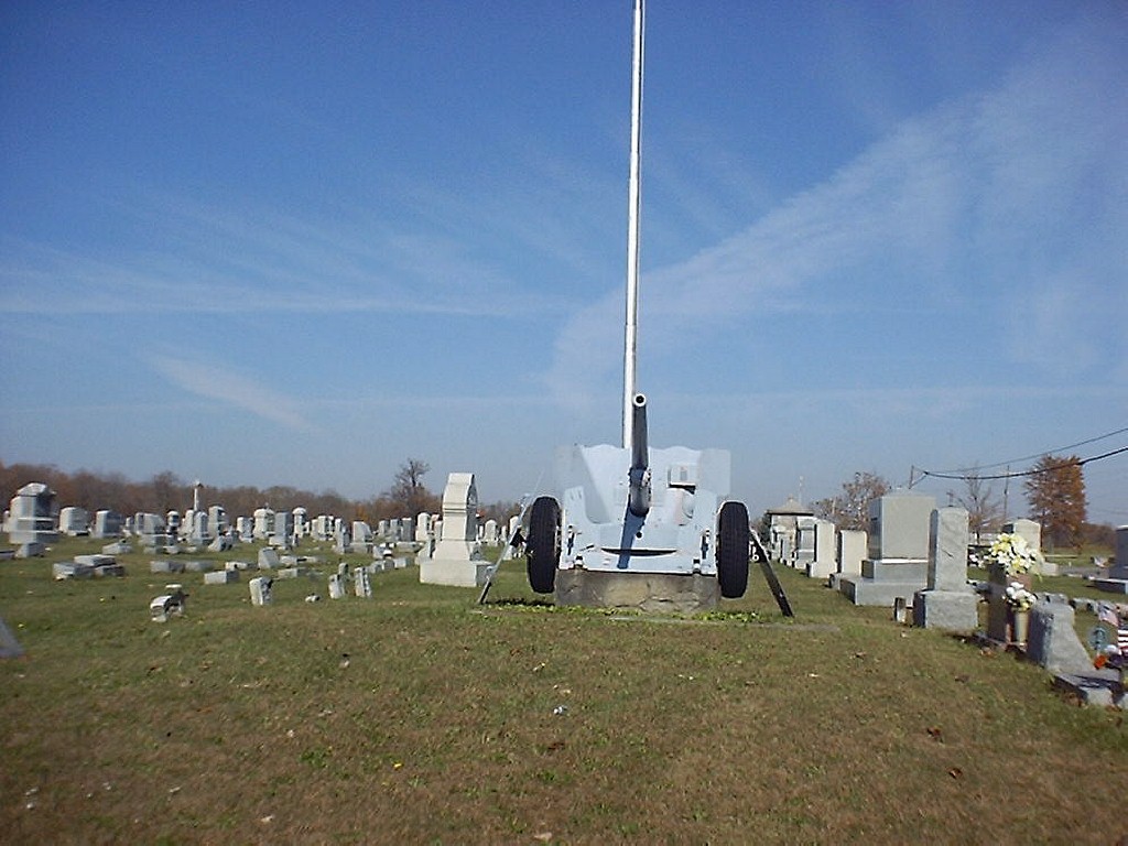
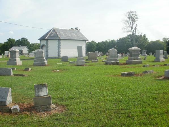
| Description | : | The cemetery is located on the west side of Mount Orab Pike (County Road 30A) at its intersection with Hamer Road (County Road 48). The cemetery is located in Pleasant Township, Brown County, Ohio, and is # 1186 (Confidence Cemetery / Georgetown Cemetery / I.O.O.F. Cemetery) in “Ohio Cemeteries 1803-2003”, compiled by the Ohio Genealogical Society. The U.S. Geological Survey (USGS) Geographic Names Information System (GNIS) feature ID for the cemetery is 1039303 (Confidence Cemetery / International Order of Odd Fellows Cemetery). |
frequently asked questions (FAQ):
-
Where is Confidence Cemetery?
Confidence Cemetery is located at Mt Orab Pike (Hwy 30A) Georgetown, Brown County ,Ohio , 45121USA.
-
Confidence Cemetery cemetery's updated grave count on graveviews.com?
197 memorials
-
Where are the coordinates of the Confidence Cemetery?
Latitude: 38.8852997
Longitude: -83.9000015
Nearby Cemetories:
1. Jacobs Family Cemetery
Georgetown, Brown County, USA
Coordinate: 38.8988753, -83.9182039
2. Infirmary Cemetery
Georgetown, Brown County, USA
Coordinate: 38.8759410, -83.9224280
3. McFaddin Cemetery
Georgetown, Brown County, USA
Coordinate: 38.8819008, -83.8735962
4. Old Georgetown Cemetery
Georgetown, Brown County, USA
Coordinate: 38.8642006, -83.9096985
5. Berry Family Cemetery
Pleasant Township, Brown County, USA
Coordinate: 38.9047000, -83.9218000
6. Jennings Family Cemetery
Georgetown, Brown County, USA
Coordinate: 38.8641982, -83.8689216
7. Rachford Cemetery
Wahlsburg, Brown County, USA
Coordinate: 38.9178000, -83.9204900
8. Pickering Cemetery
Georgetown, Brown County, USA
Coordinate: 38.9172390, -83.9239670
9. West Fork Cemetery
Franklin Township, Brown County, USA
Coordinate: 38.9105988, -83.8578033
10. Dye Cemetery
Brown County, USA
Coordinate: 38.8586006, -83.8516998
11. Barngrover Family Cemetery
Wahlsburg, Brown County, USA
Coordinate: 38.9317390, -83.9115140
12. Eden Cemetery
Feesburg, Brown County, USA
Coordinate: 38.8683014, -83.9589005
13. McCall Cemetery
Scott Township, Brown County, USA
Coordinate: 38.9325760, -83.9171320
14. Farmers Chapel Cemetery
Scott Township, Brown County, USA
Coordinate: 38.9247820, -83.9377760
15. Abbott Burying Ground
Arnheim, Brown County, USA
Coordinate: 38.8944360, -83.8361210
16. Wardlow Cemetery
Franklin Township, Brown County, USA
Coordinate: 38.8944016, -83.8358002
17. Unity Cemetery
Georgetown, Brown County, USA
Coordinate: 38.9219017, -83.9467010
18. Davidson Cemetery
Scott Township, Brown County, USA
Coordinate: 38.9360300, -83.9128290
19. Waterfield Cemetery
Georgetown, Brown County, USA
Coordinate: 38.8295756, -83.9152510
20. Hillman Ridge Cemetery
Georgetown, Brown County, USA
Coordinate: 38.8353004, -83.8621979
21. Sanders Cemetery
Hamersville, Brown County, USA
Coordinate: 38.9367020, -83.9352320
22. Rich Family Cemetery
Hamersville, Brown County, USA
Coordinate: 38.9207517, -83.9606343
23. Bohrer Cemetery
Franklin Township, Brown County, USA
Coordinate: 38.9019012, -83.8257980
24. Murphy Cemetery
Feesburg, Brown County, USA
Coordinate: 38.9000880, -83.9803630


