
| Memorials | : | 0 |
| Location | : | Hamersville, Brown County, USA |
| Coordinate | : | 38.9367020, -83.9352320 |
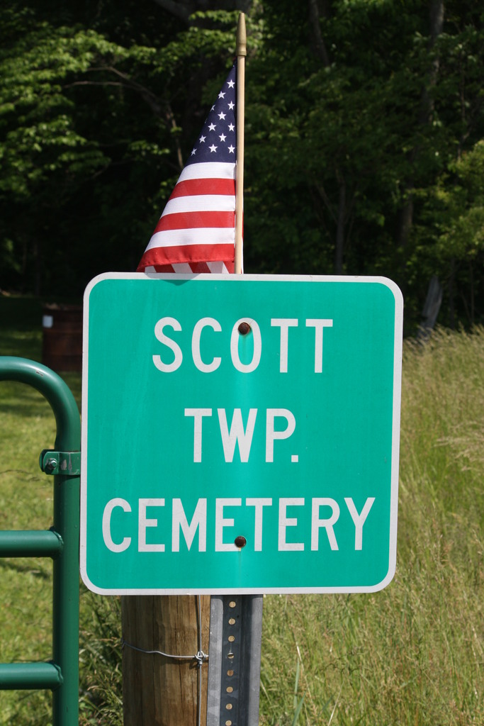
| Description | : | The cemetery is located on the north side of Smoky Row Road (County Road 83) about 0.9 miles northeast of its intersection with White Oak Valley Road (County Road 21). The Cemetery is 1.5 acres in size. The cemetery is located in Scott Township, Brown County, Ohio, and is # 1223 (Sanders Cemetery) in “Ohio Cemeteries 1803-2003”, compiled by the Ohio Genealogical Society. The cemetery is registered with the Ohio Division of Real Estate and Professional Licensing (ODRE) as Sanders Cemetery with registration license number CGR.0000981495. |
frequently asked questions (FAQ):
-
Where is Sanders Cemetery?
Sanders Cemetery is located at Smokey Row Road Hamersville, Brown County ,Ohio , 45121USA.
-
Sanders Cemetery cemetery's updated grave count on graveviews.com?
0 memorials
-
Where are the coordinates of the Sanders Cemetery?
Latitude: 38.9367020
Longitude: -83.9352320
Nearby Cemetories:
1. Ralston Cemetery
Scott Township, Brown County, USA
Coordinate: 38.9403000, -83.9432983
2. Farmers Chapel Cemetery
Scott Township, Brown County, USA
Coordinate: 38.9247820, -83.9377760
3. McCall Cemetery
Scott Township, Brown County, USA
Coordinate: 38.9325760, -83.9171320
4. Penny Family Cemetery
Scott Township, Brown County, USA
Coordinate: 38.9515830, -83.9462780
5. Unity Cemetery
Georgetown, Brown County, USA
Coordinate: 38.9219017, -83.9467010
6. Davidson Cemetery
Scott Township, Brown County, USA
Coordinate: 38.9360300, -83.9128290
7. Barngrover Family Cemetery
Wahlsburg, Brown County, USA
Coordinate: 38.9317390, -83.9115140
8. Pickering Cemetery
Georgetown, Brown County, USA
Coordinate: 38.9172390, -83.9239670
9. Rachford Cemetery
Wahlsburg, Brown County, USA
Coordinate: 38.9178000, -83.9204900
10. Rich Family Cemetery
Hamersville, Brown County, USA
Coordinate: 38.9207517, -83.9606343
11. Young Cemetery
New Hope, Brown County, USA
Coordinate: 38.9580994, -83.9119034
12. Kimball Family Cemetery
New Hope, Brown County, USA
Coordinate: 38.9547650, -83.9071960
13. Berry Family Cemetery
Pleasant Township, Brown County, USA
Coordinate: 38.9047000, -83.9218000
14. Warner Cemetery
Neals Corner, Brown County, USA
Coordinate: 38.9730988, -83.9563980
15. Jacobs Family Cemetery
Georgetown, Brown County, USA
Coordinate: 38.8988753, -83.9182039
16. Hendrixson Cemetery
Scott Township, Brown County, USA
Coordinate: 38.9749985, -83.9132996
17. Applegate Cemetery
New Hope, Brown County, USA
Coordinate: 38.9716180, -83.9008720
18. Hamersville Cemetery
Hamersville, Brown County, USA
Coordinate: 38.9275017, -83.9927979
19. Neal Cemetery
Clark Township, Brown County, USA
Coordinate: 38.9614280, -83.9860690
20. Murphy Cemetery
Feesburg, Brown County, USA
Coordinate: 38.9000880, -83.9803630
21. Pinchey Cemetery
Mount Orab, Brown County, USA
Coordinate: 38.9907380, -83.9304820
22. Wardlow Cemetery
Scott Township, Brown County, USA
Coordinate: 38.9780998, -83.8878021
23. Confidence Cemetery
Georgetown, Brown County, USA
Coordinate: 38.8852997, -83.9000015
24. Infirmary Cemetery
Georgetown, Brown County, USA
Coordinate: 38.8759410, -83.9224280