
| Memorials | : | 127 |
| Location | : | Bryan, Williams County, USA |
| Coordinate | : | 41.4572182, -84.5480576 |
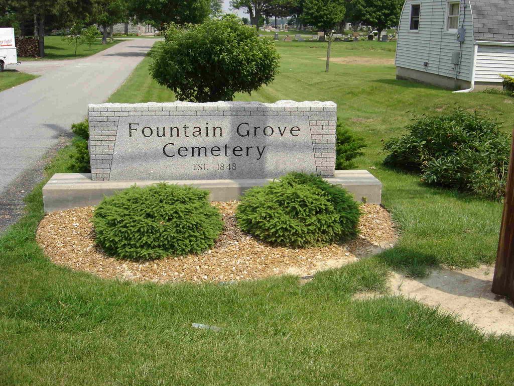
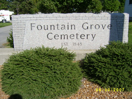
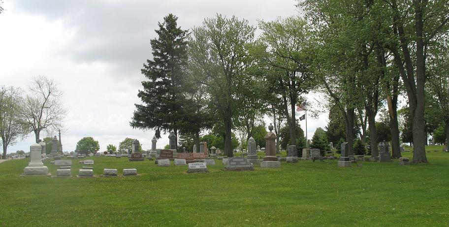
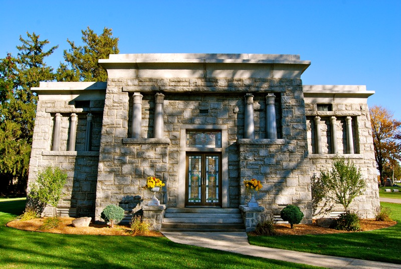
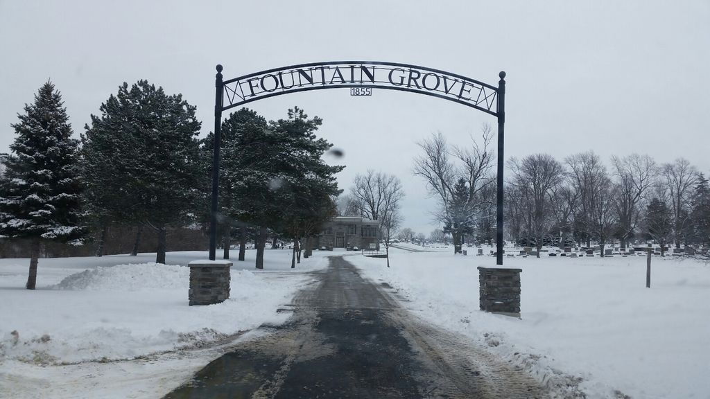
| Description | : | Fountain Grove Cemetery is located on the south side of Bryan on State Route 15 and County Road C. The cemetery is located in Pulaski Township, Williams County, Ohio, and is # 12818 (Fountain Grove Cemetery) in “Ohio Cemeteries 1803-2003”, compiled by the Ohio Genealogical Society. The cemetery is registered with the Ohio Division of Real Estate and Professional Licensing (ODRE) as Fountain Grove Cemetery with registration license number CGR.2004016074. The U.S. Geological Survey (USGS) Geographic Names Information System (GNIS) feature ID for the cemetery is 1806081 (Fountain Grove Cemetery). |
frequently asked questions (FAQ):
-
Where is Fountain Grove Cemetery?
Fountain Grove Cemetery is located at East Fountain Grove Road (County Road C / Township Road 183) and US 127 / Ohio State Route 15 / Ohio Bryan, Williams County ,Ohio , 43506USA.
-
Fountain Grove Cemetery cemetery's updated grave count on graveviews.com?
113 memorials
-
Where are the coordinates of the Fountain Grove Cemetery?
Latitude: 41.4572182
Longitude: -84.5480576
Nearby Cemetories:
1. Brown Cemetery
Bryan, Williams County, USA
Coordinate: 41.4822006, -84.5935974
2. Fetters Cemetery
Williams County, USA
Coordinate: 41.4519500, -84.6159900
3. Beaver Creek Cemetery
Williams County, USA
Coordinate: 41.4808006, -84.4858017
4. Williams Center Cemetery
Williams Center, Williams County, USA
Coordinate: 41.4288902, -84.6125031
5. Trinity Lutheran Cemetery
Ney, Defiance County, USA
Coordinate: 41.4016991, -84.5353012
6. Old Pulaski Cemetery
Williams County, USA
Coordinate: 41.5135994, -84.5119019
7. Yackee Cemetery
Williams County, USA
Coordinate: 41.4707985, -84.6324997
8. Lick Creek Cemetery
Bryan, Williams County, USA
Coordinate: 41.5135994, -84.5927963
9. Melbern-Neihardt Cemetery
Melbern, Williams County, USA
Coordinate: 41.4633600, -84.6416330
10. Ney Cemetery
Ney, Defiance County, USA
Coordinate: 41.3856010, -84.5271988
11. Doud Cemetery
Ney, Defiance County, USA
Coordinate: 41.3811680, -84.5161110
12. Lintz Cemetery
Ney, Defiance County, USA
Coordinate: 41.3760986, -84.5402985
13. Shiffler Cemetery
Jefferson Township, Williams County, USA
Coordinate: 41.5325012, -84.5063934
14. Boynton Cemetery
Stryker, Williams County, USA
Coordinate: 41.4782982, -84.4389038
15. Doll Cemetery
Ney, Defiance County, USA
Coordinate: 41.3809319, -84.4963684
16. French Cemetery
Springfield Township, Williams County, USA
Coordinate: 41.5039100, -84.4485500
17. West Bethesda Cemetery
West Jefferson, Williams County, USA
Coordinate: 41.5422700, -84.5941200
18. Farmer Cemetery
Farmer, Defiance County, USA
Coordinate: 41.3903008, -84.6410980
19. Buck Cemetery
Williams County, USA
Coordinate: 41.4272003, -84.4250031
20. Oakwood Cemetery
Stryker, Williams County, USA
Coordinate: 41.4978900, -84.4274700
21. Bodel Cemetery
Stryker, Williams County, USA
Coordinate: 41.5277080, -84.4495600
22. Williams County Infirmary Cemetery
West Unity, Williams County, USA
Coordinate: 41.5571430, -84.5097860
23. Hepker Cemetery
Blakeslee, Williams County, USA
Coordinate: 41.5136620, -84.6707873
24. Mary Bechtol Gravesite
Montpelier, Williams County, USA
Coordinate: 41.5575900, -84.6034900