
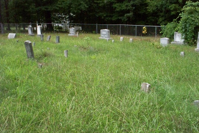
| Memorials | : | 0 |
| Location | : | Shockeysville, Frederick County, USA |
| Coordinate | : | 39.3781013, -78.2515335 |
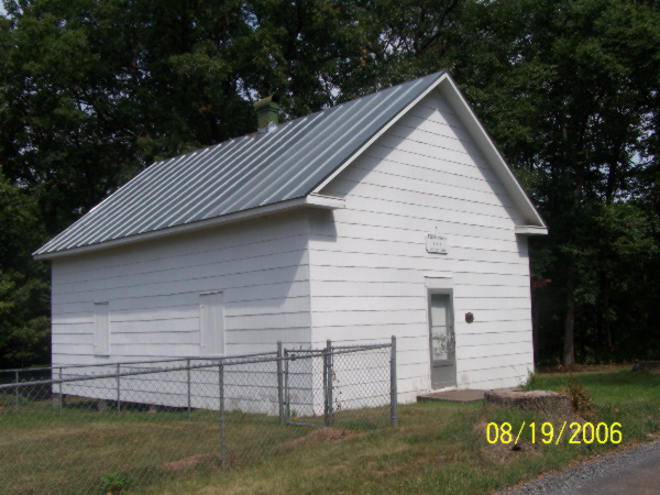
| Description | : | Directions: Take Interstate 81 to either Exit 310 or 317 and pick up Route 37. Follow Rt.37 to the Rt.522 Exit and take Rt.522 North for 7 miles. Turn right on to Siler Road. Continue for 6 miles where the road will bear to the right and become Howard’s Chapel Rd. Continue for another mile and half and turn left on to Shockeysville Road, which is dirt and gravel. After 2.5 miles the road will turn sharply to the right. The cemetery and chapel are just ahead on the left. |
frequently asked questions (FAQ):
-
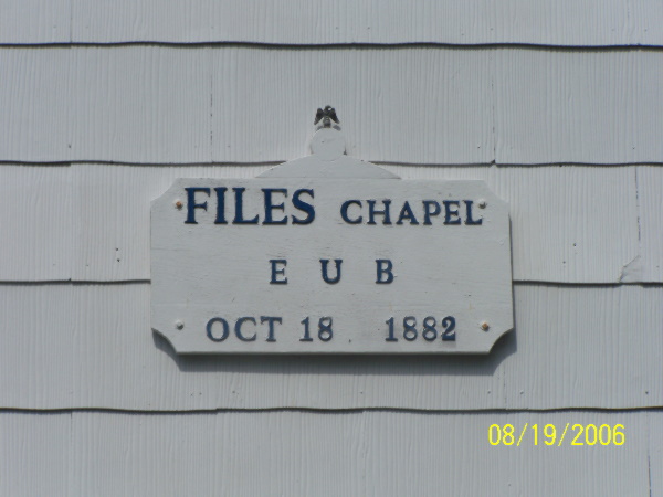
Where is Files Chapel Cemetery?
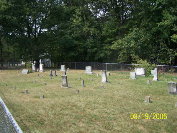
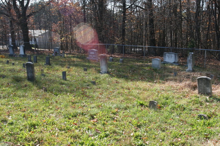
Files Chapel Cemetery is located at Shockeysville Road Shockeysville, Frederick County ,Virginia , 22602USA.
-
Files Chapel Cemetery cemetery's updated grave count on graveviews.com?
0 memorials
-
Where are the coordinates of the Files Chapel Cemetery?
Latitude: 39.3781013
Longitude: -78.2515335
Nearby Cemetories:
1. Shockeysville United Methodist Church Cemetery
Shockeysville, Frederick County, USA
Coordinate: 39.3861008, -78.2432022
2. Strowbridge Cemetery
Siler, Frederick County, USA
Coordinate: 39.3635530, -78.2354260
3. Heironimus Gravesite
Siler, Frederick County, USA
Coordinate: 39.3558899, -78.2574669
4. Wesley Chapel Cemetery
Cross Junction, Frederick County, USA
Coordinate: 39.3786659, -78.2936935
5. Howards Chapel United Methodist Church Cemetery
Siler, Frederick County, USA
Coordinate: 39.3585014, -78.2171021
6. Timber Ridge Primitive Baptist Cemetery
Cross Junction, Frederick County, USA
Coordinate: 39.3790016, -78.3065033
7. Mount Carmel Methodist Church Cemetery
Glengary, Berkeley County, USA
Coordinate: 39.3908950, -78.1887700
8. Chestnut Grove Cemetery
Siler, Frederick County, USA
Coordinate: 39.3306007, -78.2304001
9. Bohrer Family Cemetery
Oakland, Morgan County, USA
Coordinate: 39.4268800, -78.2718800
10. Bageant Cemetery
Cross Junction, Frederick County, USA
Coordinate: 39.3608780, -78.3142395
11. Mount Hebron EUB Church Cemetery
Whitacre, Frederick County, USA
Coordinate: 39.3433685, -78.3056030
12. Kaes Park
Frederick County, USA
Coordinate: 39.3218200, -78.2454900
13. Pine Grove United Methodist Church Cemetery
De Haven, Frederick County, USA
Coordinate: 39.3513985, -78.1857986
14. Brannon Cemetery
Glengary, Berkeley County, USA
Coordinate: 39.3626100, -78.1798300
15. Beacon Baptist Church Cemetery
Cross Junction, Frederick County, USA
Coordinate: 39.4278984, -78.2904968
16. Roe Chapel Cemetery
Berkeley County, USA
Coordinate: 39.4074650, -78.1849660
17. Greenwood Cemetery
Greenwood, Morgan County, USA
Coordinate: 39.4403000, -78.2356033
18. Stotler Family Cemetery
Berkeley Springs, Morgan County, USA
Coordinate: 39.4478645, -78.2820587
19. Moutainview Baptist Church Cemetery
Glengary, Berkeley County, USA
Coordinate: 39.3853500, -78.1561500
20. Woodlawn Cemetery
Whitacre, Frederick County, USA
Coordinate: 39.3333015, -78.3296967
21. Heironimus Family Cemetery
Whitacre, Frederick County, USA
Coordinate: 39.3308105, -78.3273926
22. Tuohey Cemetery
Berkeley Springs, Morgan County, USA
Coordinate: 39.4465700, -78.3049900
23. Ganotown United Methodist Church Cemetery
Glengary, Berkeley County, USA
Coordinate: 39.4056900, -78.1492000
24. Central Chapel Cemetery
Hedgesville, Berkeley County, USA
Coordinate: 39.4151993, -78.1471024