
| Memorials | : | 63 |
| Location | : | Shrewsbury, Monmouth County, USA |
| Coordinate | : | 40.3240280, -74.0604477 |
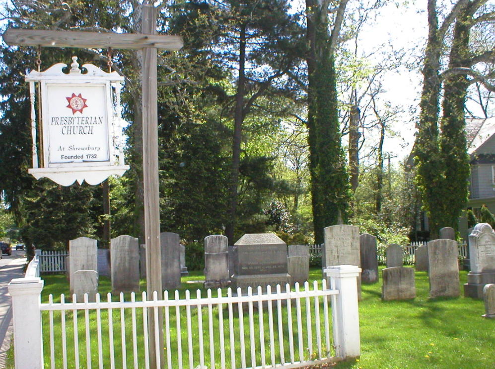
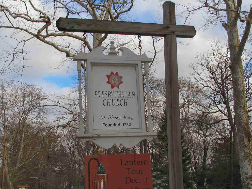
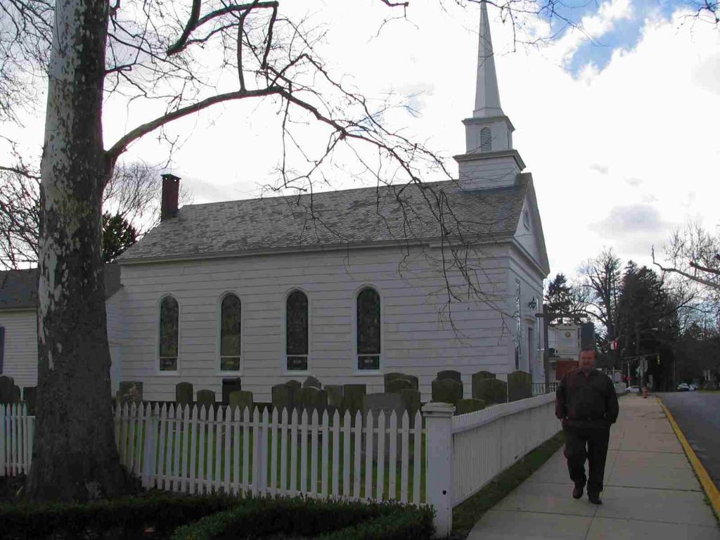
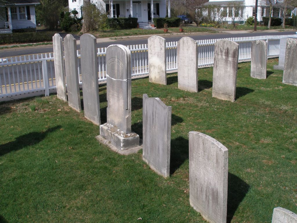
| Description | : | The cemetery is located on the south side of Sycamore Avenue (Route 13A) about 300 feet east of its intersection with Broad Street (Route 35). The cemetery surrounds the First Presbyterian Church at Shrewsbury. The U.S. Geological Survey (USGS) Geographic Names Information System (GNIS) feature ID for the cemetery is 2104871 (Presbyterian Church Cemetery). |
frequently asked questions (FAQ):
-
Where is First Presbyterian Churchyard?
First Presbyterian Churchyard is located at 370 Sycamore Avenue (Route 13A) Shrewsbury, Monmouth County ,New Jersey , 07702USA.
-
First Presbyterian Churchyard cemetery's updated grave count on graveviews.com?
62 memorials
-
Where are the coordinates of the First Presbyterian Churchyard?
Latitude: 40.3240280
Longitude: -74.0604477
Nearby Cemetories:
1. Friends Meeting House Burial Ground
Shrewsbury, Monmouth County, USA
Coordinate: 40.3244438, -74.0611115
2. Christ Church Episcopal Graveyard
Shrewsbury, Monmouth County, USA
Coordinate: 40.3236122, -74.0613174
3. Evergreen Cemetery
Little Silver, Monmouth County, USA
Coordinate: 40.3410492, -74.0413208
4. Saint Johns Memorial Garden
Little Silver, Monmouth County, USA
Coordinate: 40.3339091, -74.0326643
5. Grover Burial Ground
Lincroft, Monmouth County, USA
Coordinate: 40.3384400, -74.0929900
6. Chadwick Family Burial Ground
Red Bank, Monmouth County, USA
Coordinate: 40.3521042, -74.0509186
7. Locust Grove Cemetery
Eatontown, Monmouth County, USA
Coordinate: 40.2924309, -74.0535431
8. Woodbine Cemetery and Mausoleum
Oceanport, Monmouth County, USA
Coordinate: 40.3011017, -74.0294037
9. Enslaved Black Burial Ground
Tinton Falls, Monmouth County, USA
Coordinate: 40.3175614, -74.1049500
10. White Ridge Cemetery
Eatontown, Monmouth County, USA
Coordinate: 40.2863998, -74.0496979
11. Trinity Cemetery
Lincroft, Monmouth County, USA
Coordinate: 40.3407631, -74.1062469
12. Glenwood Cemetery
West Long Branch, Monmouth County, USA
Coordinate: 40.2947006, -74.0269012
13. Congregation B'nai Israel Cemetery
Tinton Falls, Monmouth County, USA
Coordinate: 40.3171997, -74.1108017
14. Congregation Brothers of Israel Cemetery Annex
West Long Branch, Monmouth County, USA
Coordinate: 40.3009033, -74.0190964
15. Fields Cemetery
Eatontown, Monmouth County, USA
Coordinate: 40.2849998, -74.0736008
16. Monmouth Fields Cemetery
West Long Branch, Monmouth County, USA
Coordinate: 40.2989200, -74.0143900
17. Greenlawn Cemetery
West Long Branch, Monmouth County, USA
Coordinate: 40.2988892, -74.0143738
18. Congregation Brothers Of Israel Cemetery
West Long Branch, Monmouth County, USA
Coordinate: 40.2998619, -74.0133362
19. Slocum Family Burying Ground
Long Branch, Monmouth County, USA
Coordinate: 40.2997700, -74.0127700
20. Cedar View Cemetery
Lincroft, Monmouth County, USA
Coordinate: 40.3344740, -74.1173810
21. Thompson Family Burial Ground
Lincroft, Monmouth County, USA
Coordinate: 40.3337800, -74.1179200
22. Morris Family Burial Ground
Lincroft, Monmouth County, USA
Coordinate: 40.3383736, -74.1167559
23. Rumson Burying Ground
Rumson, Monmouth County, USA
Coordinate: 40.3535995, -74.0149994
24. Bennet Family Burial Ground
Lincroft, Monmouth County, USA
Coordinate: 40.3319800, -74.1256700