
| Memorials | : | 115 |
| Location | : | Kansas City, Jackson County, USA |
| Phone | : | (816) 523-2114 |
| Coordinate | : | 39.0018997, -94.5699997 |
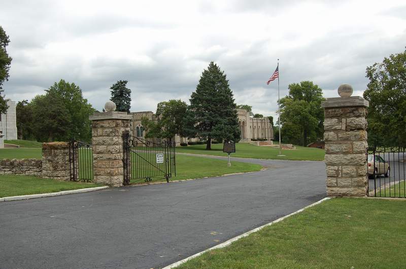
| Description | : | Forest Hill and Calvary are actually 2 separate cemeteries under the same management. Management will do two free lookups per day, but charge $10 per person over that limit. |
frequently asked questions (FAQ):
-
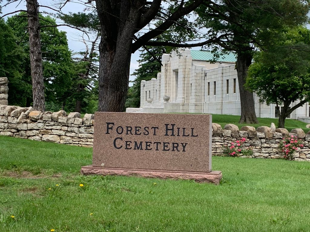
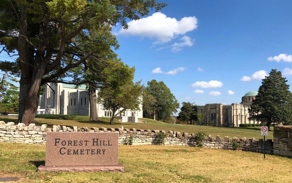
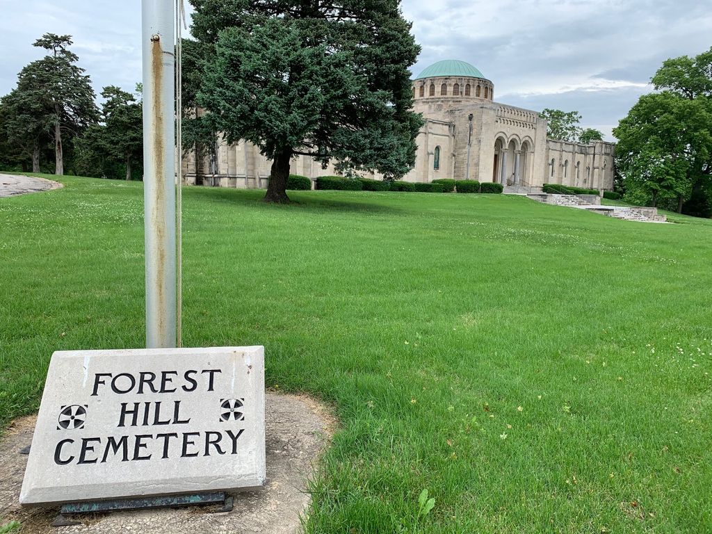
Where is Forest Hill Cemetery?
Forest Hill Cemetery is located at 6901 Troost Ave Kansas City, Jackson County ,Missouri , 64131-1510USA.
-
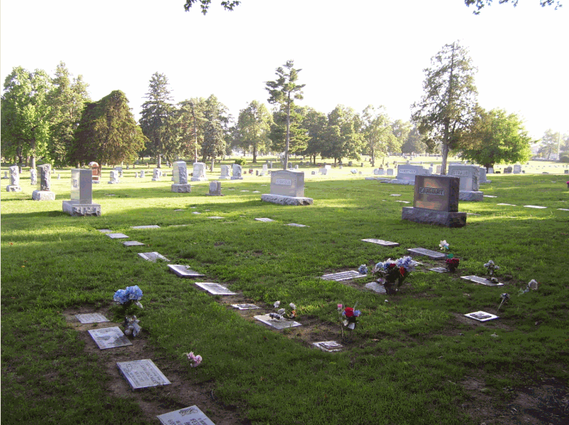
Forest Hill Cemetery cemetery's updated grave count on graveviews.com?
105 memorials
-
Where are the coordinates of the Forest Hill Cemetery?
Latitude: 39.0018997
Longitude: -94.5699997
Nearby Cemetories:
1. Rose Hill Cemetery
Kansas City, Jackson County, USA
Coordinate: 39.0017014, -94.5757980
2. Calvary Cemetery
Kansas City, Jackson County, USA
Coordinate: 39.0050964, -94.5748215
3. Boone-Hays Cemetery
Kansas City, Jackson County, USA
Coordinate: 39.0129395, -94.5630493
4. Broomfield Cemetery
Kansas City, Jackson County, USA
Coordinate: 38.9902520, -94.5478500
5. Saint Andrews Episcopal Church Columbarium
Kansas City, Jackson County, USA
Coordinate: 39.0115600, -94.5938100
6. George Hamilton Combs Chapel Columbarium & Garden
Kansas City, Jackson County, USA
Coordinate: 39.0176000, -94.6013500
7. Country Club United Methodist Church Memor
Kansas City, Jackson County, USA
Coordinate: 39.0247260, -94.5933250
8. Firefighters Memorial
Kansas City, Jackson County, USA
Coordinate: 38.9720230, -94.5431442
9. Kauffman Memorial Garden
Kansas City, Jackson County, USA
Coordinate: 39.0398100, -94.5789700
10. Thomas H. Swope Memorial
Kansas City, Jackson County, USA
Coordinate: 39.0033000, -94.5169100
11. Douglas Cemetery
Kansas City, Jackson County, USA
Coordinate: 38.9608345, -94.5779724
12. Nelson-Atkins Museum of Art
Kansas City, Jackson County, USA
Coordinate: 39.0449890, -94.5809780
13. All Souls Unitarian Universalist Church Gardens
Kansas City, Jackson County, USA
Coordinate: 39.0452060, -94.5847200
14. Colonial Church Garden of Life
Prairie Village, Johnson County, USA
Coordinate: 39.0009900, -94.6300200
15. Village Presbyterian Church Columbarium
Prairie Village, Johnson County, USA
Coordinate: 39.0083300, -94.6299900
16. Memorial Park Cemetery
Kansas City, Jackson County, USA
Coordinate: 38.9805984, -94.5143967
17. Green Lawn Cemetery
Kansas City, Jackson County, USA
Coordinate: 38.9763985, -94.5164032
18. Shawnee Methodist Mission Cemetery
Fairway, Johnson County, USA
Coordinate: 39.0307846, -94.6217880
19. Corinth Cemetery
Prairie Village, Johnson County, USA
Coordinate: 38.9783000, -94.6266700
20. Old Mission United Methodist Church Columbarium
Fairway, Johnson County, USA
Coordinate: 39.0293200, -94.6246500
21. Westport Cemetery
Kansas City, Jackson County, USA
Coordinate: 39.0508200, -94.5932400
22. Woolford Farm Grounds
Prairie Village, Johnson County, USA
Coordinate: 38.9822388, -94.6332169
23. Saint Paul's Episcopal Church Cemetery
Kansas City, Jackson County, USA
Coordinate: 39.0540700, -94.5856600
24. Southminster Presbyterian Church Columbarium
Prairie Village, Johnson County, USA
Coordinate: 39.0145600, -94.6407400