
| Memorials | : | 22 |
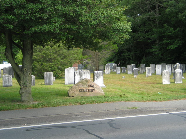
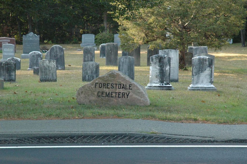
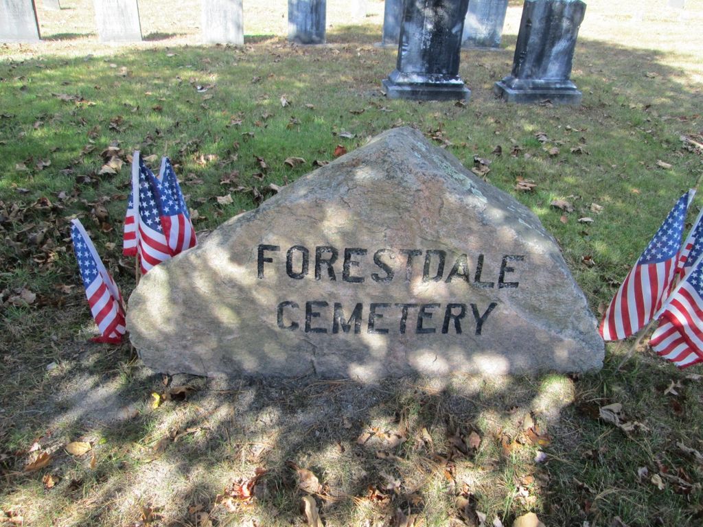
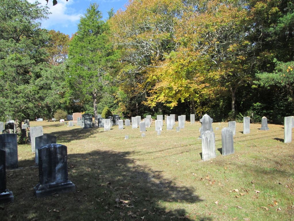
| Location | : | Forestdale, Barnstable County, USA |
| Coordinate | : | 41.6903000, -70.5024033 |
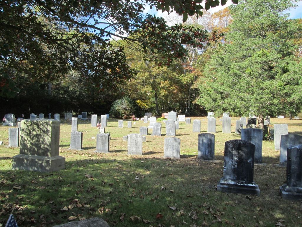
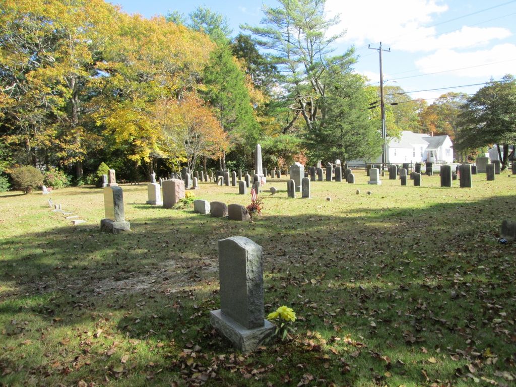
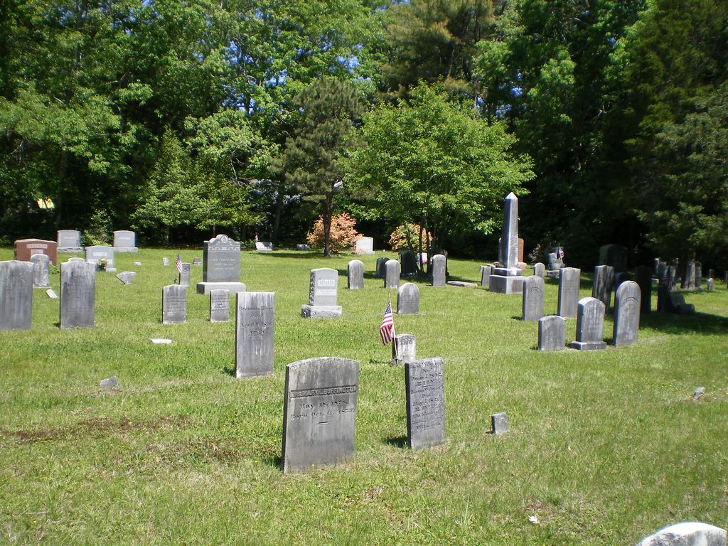
| Description | : | A small sized cemetery with stones dating from the 1820"s. |
frequently asked questions (FAQ):
-
Where is Forestdale Cemetery?
Forestdale Cemetery is located at Rt.130 Forestdale, Barnstable County ,Massachusetts ,USA.
-
Forestdale Cemetery cemetery's updated grave count on graveviews.com?
22 memorials
-
Where are the coordinates of the Forestdale Cemetery?
Latitude: 41.6903000
Longitude: -70.5024033
Nearby Cemetories:
1. Tobey Cemetery
Forestdale, Barnstable County, USA
Coordinate: 41.6972008, -70.4875031
2. Animal Inn Pet Cemetery
Forestdale, Barnstable County, USA
Coordinate: 41.6754200, -70.5070100
3. Francis Family Cemetery
Mashpee, Barnstable County, USA
Coordinate: 41.6807900, -70.4816600
4. Sandwich Town Cemetery
Sandwich, Barnstable County, USA
Coordinate: 41.7125300, -70.4909000
5. Wakeby Cemetery
Sandwich, Barnstable County, USA
Coordinate: 41.6725500, -70.4723100
6. Boardley Road Cemetery
Sandwich, Barnstable County, USA
Coordinate: 41.6870003, -70.4559021
7. Percival Cemetery
Sandwich, Barnstable County, USA
Coordinate: 41.6883011, -70.4557037
8. Attaquin Cemetery
Mashpee, Barnstable County, USA
Coordinate: 41.6517296, -70.4883881
9. Lakewood Cemetery
Mashpee, Barnstable County, USA
Coordinate: 41.6530991, -70.4783020
10. Coombs Cemetery
Mashpee, Barnstable County, USA
Coordinate: 41.6417370, -70.4570980
11. Otis Memorial
Bourne, Barnstable County, USA
Coordinate: 41.6596980, -70.5706980
12. Saint Peters Cemetery
Sandwich, Barnstable County, USA
Coordinate: 41.7502480, -70.5079346
13. Almshouse Burial Ground
Sandwich, Barnstable County, USA
Coordinate: 41.7501000, -70.4847000
14. Spring Hill Cemetery
Sandwich, Barnstable County, USA
Coordinate: 41.7487984, -70.4775009
15. Massachusetts National Cemetery
Bourne, Barnstable County, USA
Coordinate: 41.6759987, -70.5824966
16. Mount Hope Cemetery
Sandwich, Barnstable County, USA
Coordinate: 41.7518997, -70.4850006
17. Old Quaker Meeting House Cemetery at Spring Hill
Sandwich, Barnstable County, USA
Coordinate: 41.7463100, -70.4613060
18. Quaker Meeting House Cemetery
East Sandwich, Barnstable County, USA
Coordinate: 41.7469673, -70.4591064
19. Old Town Cemetery
Sandwich, Barnstable County, USA
Coordinate: 41.7556992, -70.5011978
20. Cedarville Cemetery
East Sandwich, Barnstable County, USA
Coordinate: 41.7397804, -70.4428864
21. Freeman Cemetery
Sandwich, Barnstable County, USA
Coordinate: 41.7573013, -70.5083008
22. Bay View Cemetery
Sandwich, Barnstable County, USA
Coordinate: 41.7583008, -70.5102997
23. Mashpee Town Cemetery
Mashpee, Barnstable County, USA
Coordinate: 41.6242981, -70.4787979
24. Pocasset Cemetery
Bourne, Barnstable County, USA
Coordinate: 41.6947260, -70.6034070