
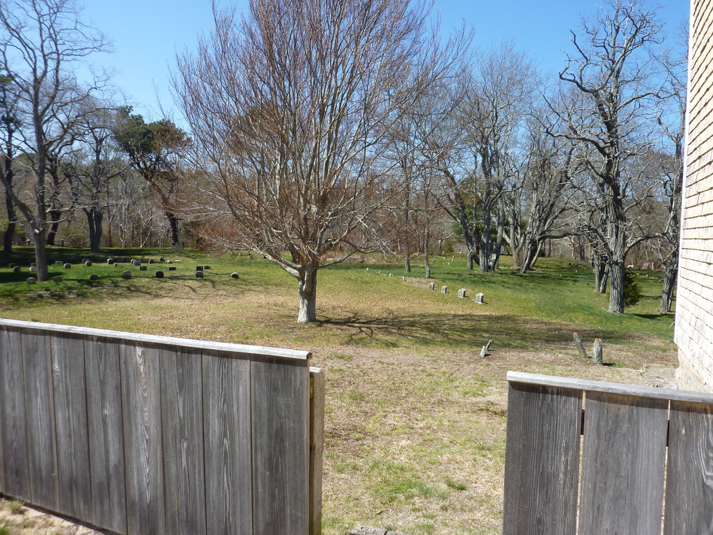
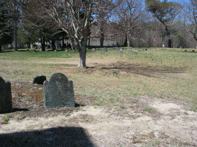
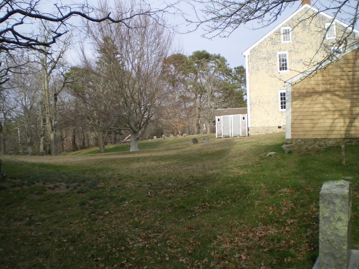
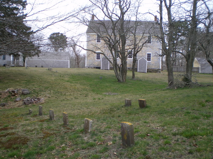
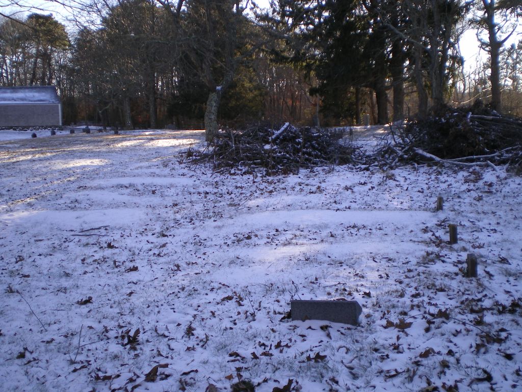
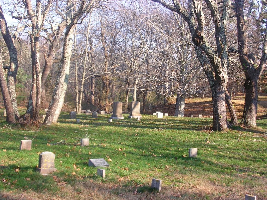
| Memorials | : | 0 |
| Location | : | East Sandwich, Barnstable County, USA |
| Coordinate | : | 41.7469673, -70.4591064 |
frequently asked questions (FAQ):
-
Where is Quaker Meeting House Cemetery?
Quaker Meeting House Cemetery is located at Quaker Rd. East Sandwich, Barnstable County ,Massachusetts ,USA.
-
Quaker Meeting House Cemetery cemetery's updated grave count on graveviews.com?
0 memorials
-
Where are the coordinates of the Quaker Meeting House Cemetery?
Latitude: 41.7469673
Longitude: -70.4591064
Nearby Cemetories:
1. Old Quaker Meeting House Cemetery at Spring Hill
Sandwich, Barnstable County, USA
Coordinate: 41.7463100, -70.4613060
2. Spring Hill Cemetery
Sandwich, Barnstable County, USA
Coordinate: 41.7487984, -70.4775009
3. Cedarville Cemetery
East Sandwich, Barnstable County, USA
Coordinate: 41.7397804, -70.4428864
4. Almshouse Burial Ground
Sandwich, Barnstable County, USA
Coordinate: 41.7501000, -70.4847000
5. Mount Hope Cemetery
Sandwich, Barnstable County, USA
Coordinate: 41.7518997, -70.4850006
6. Old Town Cemetery
Sandwich, Barnstable County, USA
Coordinate: 41.7556992, -70.5011978
7. Saint Peters Cemetery
Sandwich, Barnstable County, USA
Coordinate: 41.7502480, -70.5079346
8. Freeman Cemetery
Sandwich, Barnstable County, USA
Coordinate: 41.7573013, -70.5083008
9. Bay View Cemetery
Sandwich, Barnstable County, USA
Coordinate: 41.7583008, -70.5102997
10. Sandwich Town Cemetery
Sandwich, Barnstable County, USA
Coordinate: 41.7125300, -70.4909000
11. Saddle and Pillion Cemetery
Sagamore, Barnstable County, USA
Coordinate: 41.7672005, -70.5192032
12. Tobey Cemetery
Forestdale, Barnstable County, USA
Coordinate: 41.6972008, -70.4875031
13. Percival Cemetery
Sandwich, Barnstable County, USA
Coordinate: 41.6883011, -70.4557037
14. Boardley Road Cemetery
Sandwich, Barnstable County, USA
Coordinate: 41.6870003, -70.4559021
15. Sagamore Cemetery
Bourne, Barnstable County, USA
Coordinate: 41.7714005, -70.5339966
16. Forestdale Cemetery
Forestdale, Barnstable County, USA
Coordinate: 41.6903000, -70.5024033
17. Francis Family Cemetery
Mashpee, Barnstable County, USA
Coordinate: 41.6807900, -70.4816600
18. West Parish Burial Ground
West Barnstable, Barnstable County, USA
Coordinate: 41.6984200, -70.3842920
19. Wakeby Cemetery
Sandwich, Barnstable County, USA
Coordinate: 41.6725500, -70.4723100
20. West Barnstable Cemetery
West Barnstable, Barnstable County, USA
Coordinate: 41.7080994, -70.3728027
21. Crocker Park Cemetery
Barnstable, Barnstable County, USA
Coordinate: 41.6959000, -70.3780975
22. Animal Inn Pet Cemetery
Forestdale, Barnstable County, USA
Coordinate: 41.6754200, -70.5070100
23. Bournedale Burying Hill
Bourne, Barnstable County, USA
Coordinate: 41.7741520, -70.5611730
24. Bournedale Herring Pond Indian Cemetery
Bourne, Barnstable County, USA
Coordinate: 41.7861900, -70.5658722