
| Memorials | : | 30 |
| Location | : | Lancaster, Garrard County, USA |
| Coordinate | : | 37.6751700, -84.6448500 |
frequently asked questions (FAQ):
-
Where is Forks of the Dix River Baptist Church Cemetery?
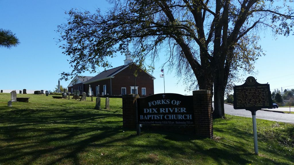
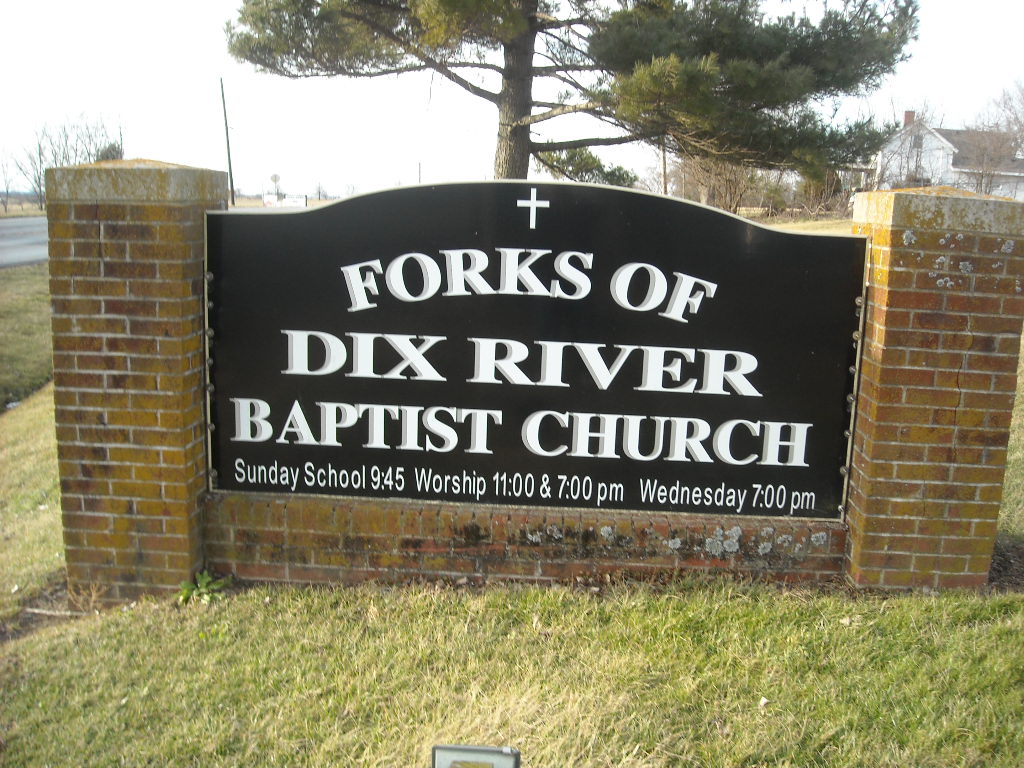
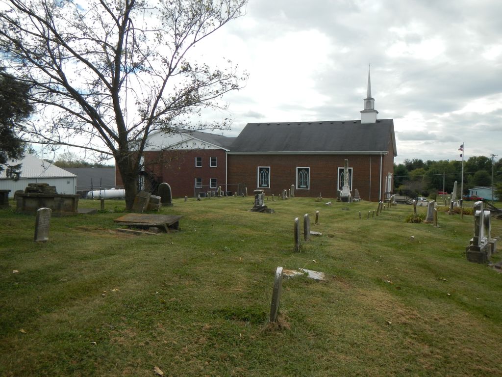
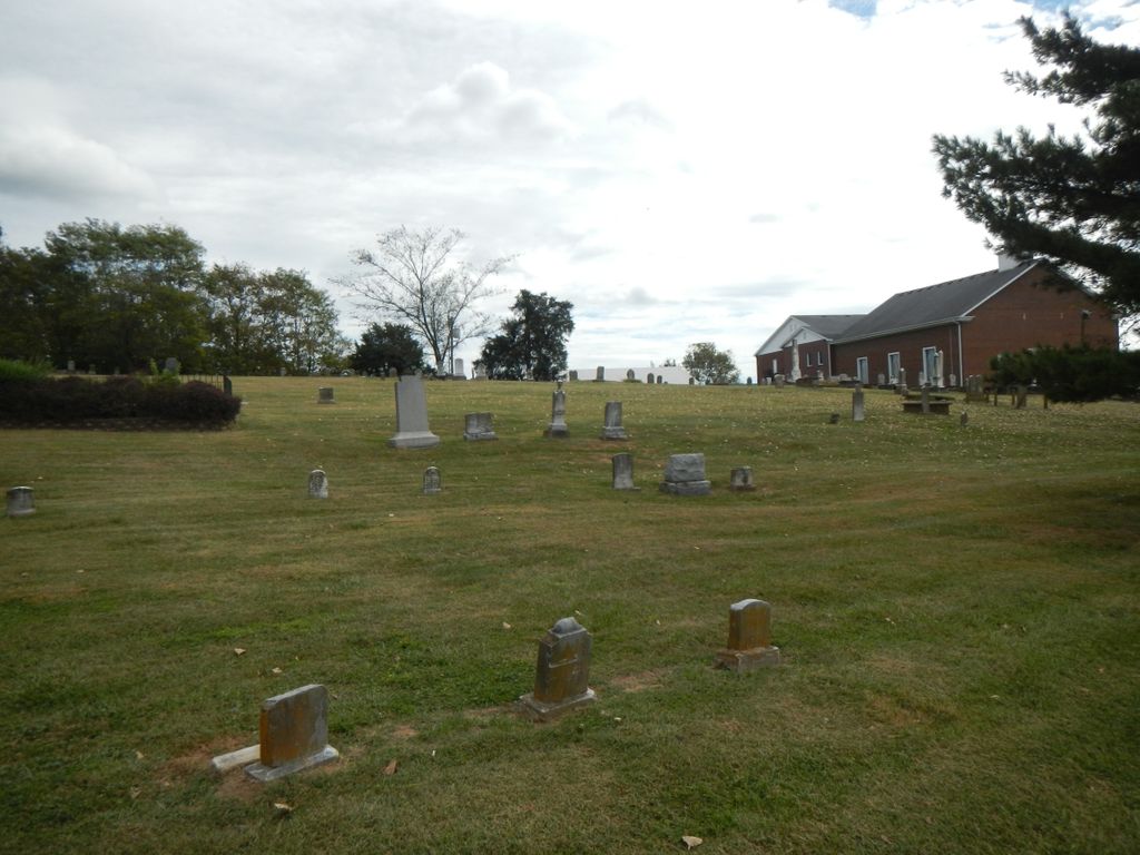
Forks of the Dix River Baptist Church Cemetery is located at 5764 Lexington Rd(US 27) Lancaster, Garrard County ,Kentucky ,USA.
-
Forks of the Dix River Baptist Church Cemetery cemetery's updated grave count on graveviews.com?
21 memorials
-
Where are the coordinates of the Forks of the Dix River Baptist Church Cemetery?
Latitude: 37.6751700
Longitude: -84.6448500
Nearby Cemetories:
1. Floyd Cemetery
Garrard County, USA
Coordinate: 37.6861060, -84.6388880
2. William Lear Cemetery
Lancaster, Garrard County, USA
Coordinate: 37.6694270, -84.6236060
3. Jefferies Cemetery
Bryantsville, Garrard County, USA
Coordinate: 37.6980510, -84.6394310
4. Pleasant Grove Christian Church Cemetery
Garrard County, USA
Coordinate: 37.6879590, -84.6745640
5. Barlow Cemetery
Garrard County, USA
Coordinate: 37.6456200, -84.6239690
6. Boones Creek Cemetery
Lancaster, Garrard County, USA
Coordinate: 37.6419700, -84.6269700
7. Burnt Tavern Cemetery
Garrard County, USA
Coordinate: 37.7119470, -84.6527790
8. Worner-Ball Cemetery
Lancaster, Garrard County, USA
Coordinate: 37.6372160, -84.6327740
9. Bryant Family Cemetery
Lancaster, Garrard County, USA
Coordinate: 37.6596950, -84.5985340
10. Hogan Cemetery
Bryantsville, Garrard County, USA
Coordinate: 37.7161820, -84.6481390
11. Swope Cemetery
Bryantsville, Garrard County, USA
Coordinate: 37.7094460, -84.6777770
12. Davistown African American Baptist Church Cemetery
Davistown, Garrard County, USA
Coordinate: 37.6858240, -84.6979590
13. Benjamin Dunn Cemetery
Bryantsville, Garrard County, USA
Coordinate: 37.7186030, -84.6452780
14. Pollard Family Cemetery
Garrard County, USA
Coordinate: 37.6512000, -84.5989200
15. Burnside Cemetery
Lancaster, Garrard County, USA
Coordinate: 37.6583320, -84.5916660
16. Clifton Cemetery
Clifton, Boyle County, USA
Coordinate: 37.6475470, -84.6919410
17. Smith Cemetery
Lancaster, Garrard County, USA
Coordinate: 37.7199940, -84.6675000
18. Mount Hebron Cemetery
Garrard County, USA
Coordinate: 37.7146440, -84.6085990
19. Bright Cemetery
Bryantsville, Garrard County, USA
Coordinate: 37.7256860, -84.6420700
20. Kays Farm Cemetery
Bryantsville, Garrard County, USA
Coordinate: 37.7237500, -84.6639060
21. Hill-Naylor Cemetery
Three Forks, Garrard County, USA
Coordinate: 37.6733310, -84.5805530
22. Reuben Arnold Cemetery
Garrard County, USA
Coordinate: 37.6420550, -84.5937400
23. Clark Cemetery
Judson, Garrard County, USA
Coordinate: 37.6783350, -84.5758370
24. John Sleet Cemetery
Garrard County, USA
Coordinate: 37.6223907, -84.6220627