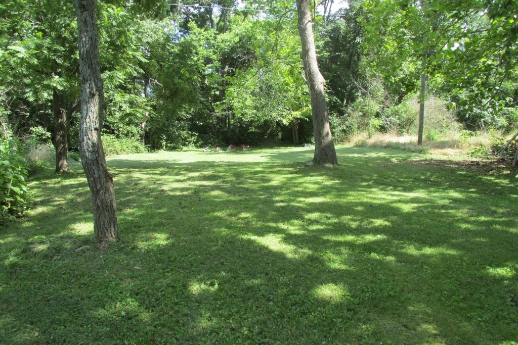
| Memorials | : | 2 |
| Location | : | Davistown, Garrard County, USA |
| Coordinate | : | 37.6858240, -84.6979590 |
| Description | : | Davistown was once a thriving African-American community located near the Dix River in Garrard County. Apparently the cemetery is no longer there, but it does show up in the Garrard County Road Map of 1950, near a church and a school. There is another cemetery in Davistown, listed on Find A Grave as the Davistown-Baptist Church-Smith Cemetery. These two may be identical, though I understand there are at least five separate cemeteries in Davistown. |
frequently asked questions (FAQ):
-
Where is Davistown African American Baptist Church Cemetery?
Davistown African American Baptist Church Cemetery is located at Davistown, Garrard County ,Kentucky ,USA.
-
Davistown African American Baptist Church Cemetery cemetery's updated grave count on graveviews.com?
2 memorials
-
Where are the coordinates of the Davistown African American Baptist Church Cemetery?
Latitude: 37.6858240
Longitude: -84.6979590
Nearby Cemetories:
1. Pleasant Grove Christian Church Cemetery
Garrard County, USA
Coordinate: 37.6879590, -84.6745640
2. Carry Nation - Moore Family Cemetery
Bryantsville, Garrard County, USA
Coordinate: 37.7095870, -84.7033810
3. Stony Point Cemetery
Danville, Boyle County, USA
Coordinate: 37.6681900, -84.7242100
4. Swope Cemetery
Bryantsville, Garrard County, USA
Coordinate: 37.7094460, -84.6777770
5. Meauxtown African American Cemetery
Danville, Boyle County, USA
Coordinate: 37.6768750, -84.7431280
6. Needmore African American Cemetery
Little Needmore, Boyle County, USA
Coordinate: 37.6608600, -84.7343500
7. Clifton Cemetery
Clifton, Boyle County, USA
Coordinate: 37.6475470, -84.6919410
8. Mayes Cemetery
Burgin, Mercer County, USA
Coordinate: 37.7270770, -84.6964360
9. Smith Cemetery
Lancaster, Garrard County, USA
Coordinate: 37.7199940, -84.6675000
10. Forks of the Dix River Baptist Church Cemetery
Lancaster, Garrard County, USA
Coordinate: 37.6751700, -84.6448500
11. Burnt Tavern Cemetery
Garrard County, USA
Coordinate: 37.7119470, -84.6527790
12. Darnell Hospital Cemetery
Boyle County, USA
Coordinate: 37.7101021, -84.7448883
13. Bonta and Sallee Family Graveyard
Burgin, Mercer County, USA
Coordinate: 37.7293500, -84.7098000
14. Kays Farm Cemetery
Bryantsville, Garrard County, USA
Coordinate: 37.7237500, -84.6639060
15. Floyd Cemetery
Garrard County, USA
Coordinate: 37.6861060, -84.6388880
16. Jefferies Cemetery
Bryantsville, Garrard County, USA
Coordinate: 37.6980510, -84.6394310
17. Hogan Cemetery
Bryantsville, Garrard County, USA
Coordinate: 37.7161820, -84.6481390
18. Benjamin Dunn Cemetery
Bryantsville, Garrard County, USA
Coordinate: 37.7186030, -84.6452780
19. Proctor Cemetery
Mercer County, USA
Coordinate: 37.7372017, -84.7185974
20. Bonta Family Graveyard
Burgin, Mercer County, USA
Coordinate: 37.7418900, -84.7044400
21. Bright Cemetery
Bryantsville, Garrard County, USA
Coordinate: 37.7256860, -84.6420700
22. William Lear Cemetery
Lancaster, Garrard County, USA
Coordinate: 37.6694270, -84.6236060
23. Robinson Road Cemetery
Mercer County, USA
Coordinate: 37.7374992, -84.7444000
24. Saint James Cemetery
Buena Vista, Garrard County, USA
Coordinate: 37.7493400, -84.7020100

