
| Memorials | : | 31 |
| Location | : | Fort Bayard, Grant County, USA |
| Coordinate | : | 32.7907000, -108.1565000 |
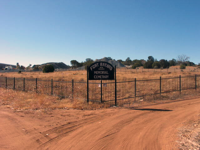
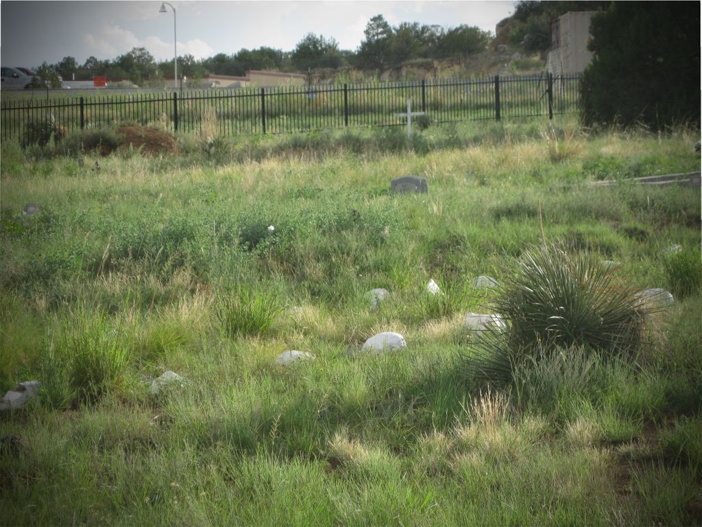
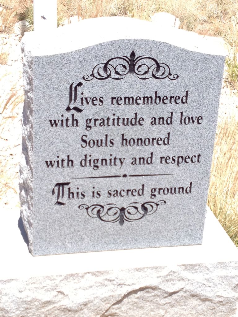
| Description | : | This cemetery is located just inside the entrance into Fort Bayard on the left. Not to be confused with Fort Bayard National Cemetery which is also on the grounds. It appears that this is a "potters field" type cemetery, based on the uniformity of most of the grave markers. Given the age of the individuals buried here, and its proximity to the state owned nursing home nearby, they were probably residents. The cemetery is encircled by large stones that have been painted white, but is otherwise untended, with markers half buried in soil, and tall weeds. Most of the markers are... Read More |
frequently asked questions (FAQ):
-
Where is Fort Bayard Memorial Cemetery?
Fort Bayard Memorial Cemetery is located at Fort Bayard, Grant County ,New Mexico ,USA.
-
Fort Bayard Memorial Cemetery cemetery's updated grave count on graveviews.com?
17 memorials
-
Where are the coordinates of the Fort Bayard Memorial Cemetery?
Latitude: 32.7907000
Longitude: -108.1565000

Nearby Cemetories:
1. Fort Bayard National Cemetery
Fort Bayard, Grant County, USA
Coordinate: 32.7989006, -108.1541977
2. Santa Clara Cemetery
Central, Grant County, USA
Coordinate: 32.7701920, -108.1530590
3. Vanadium Cemetery
Vanadium, Grant County, USA
Coordinate: 32.7820000, -108.1100000
4. Bayard Cemetery
Bayard, Grant County, USA
Coordinate: 32.7403620, -108.1326270
5. Hanover Cemetery
Hanover, Grant County, USA
Coordinate: 32.8063000, -108.0893000
6. Memory Lane Cemetery
Silver City, Grant County, USA
Coordinate: 32.7830000, -108.2570000
7. Fierro Cemetery
Fierro, Grant County, USA
Coordinate: 32.8436012, -108.0755997
8. Santa Rita Cemetery #4
Santa Rita, Grant County, USA
Coordinate: 32.8137200, -108.0576200
9. Santa Rita #4
Santa Rita (Noriega y Anexo), Santa Bárbara Municipality, Mexico
Coordinate: 32.8136425, -108.0571579
10. Pinos Altos Community Cemetery
Pinos Altos, Grant County, USA
Coordinate: 32.8672791, -108.2173004
11. Hurley Cemetery
Hurley, Grant County, USA
Coordinate: 32.6885986, -108.1363983
12. Masonic Cemetery
Silver City, Grant County, USA
Coordinate: 32.7572972, -108.2812361
13. Saint Vincent de Paul Catholic Cemetery
Silver City, Grant County, USA
Coordinate: 32.7572861, -108.2812361
14. Georgetown Cemetery
Silver City, Grant County, USA
Coordinate: 32.8405991, -108.0147018
15. Peace of the Wilderness Cemetery
Silver City, Grant County, USA
Coordinate: 32.8682050, -108.2875500
16. Hicks Cemetery
Grant County, USA
Coordinate: 32.9103012, -108.0044022
17. San Lorenzo Cemetery
San Lorenzo, Grant County, USA
Coordinate: 32.7910270, -107.9205040
18. Pine Cienega Cemetery
Grant County, USA
Coordinate: 32.6226050, -108.3039090
19. San Juan Catholic Cemetery
Grant County, USA
Coordinate: 32.7647705, -107.9098969
20. Savannah Cemetery
Tyrone, Grant County, USA
Coordinate: 32.6443000, -108.3568000
21. Perrault Ranch Cemetery
Sherman, Grant County, USA
Coordinate: 32.7493770, -107.8935000
22. Coleson's Crossing Cemetery
Dwyer, Grant County, USA
Coordinate: 32.5682540, -107.9522090
23. Dwyer Cemetery
Dwyer, Grant County, USA
Coordinate: 32.6231600, -107.8792400
24. Foster Cemetery
Luna County, USA
Coordinate: 32.5862410, -107.9062660