
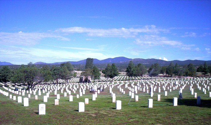
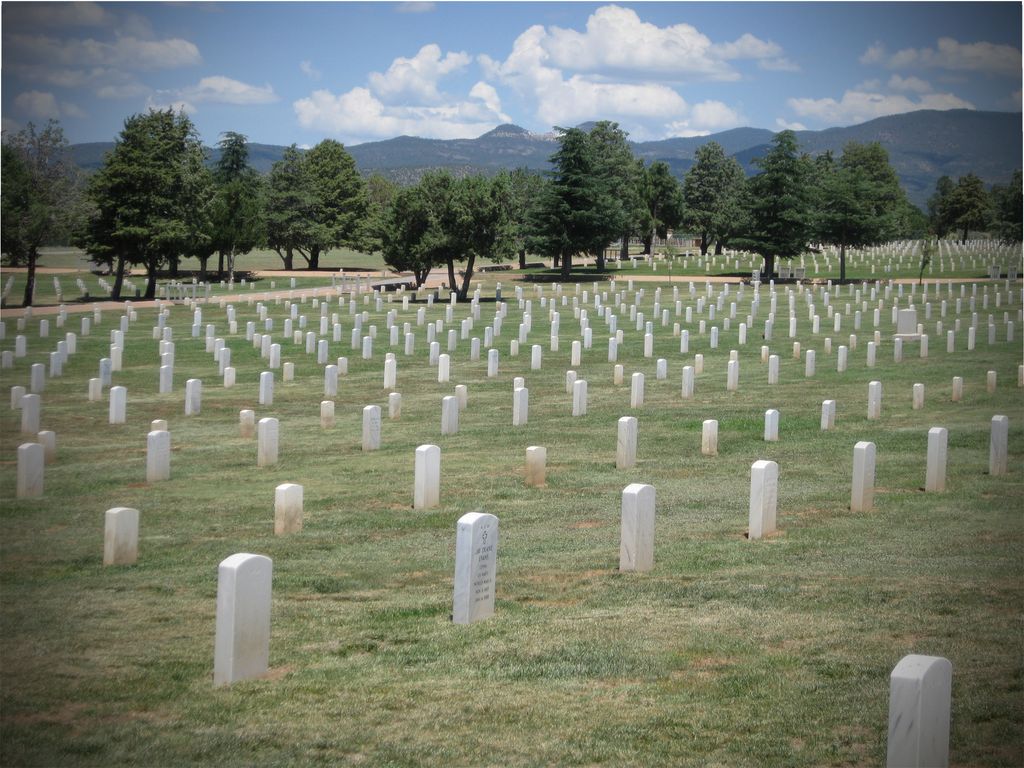
| Memorials | : | 392 |
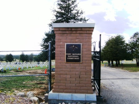
| Location | : | Fort Bayard, Grant County, USA |
| Phone | : | 505-988-6400 |
| Website | : | www.cem.va.gov/cems/nchp/ftbayard.asp |
| Coordinate | : | 32.7989006, -108.1541977 |
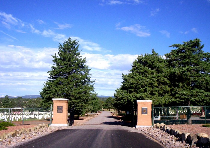
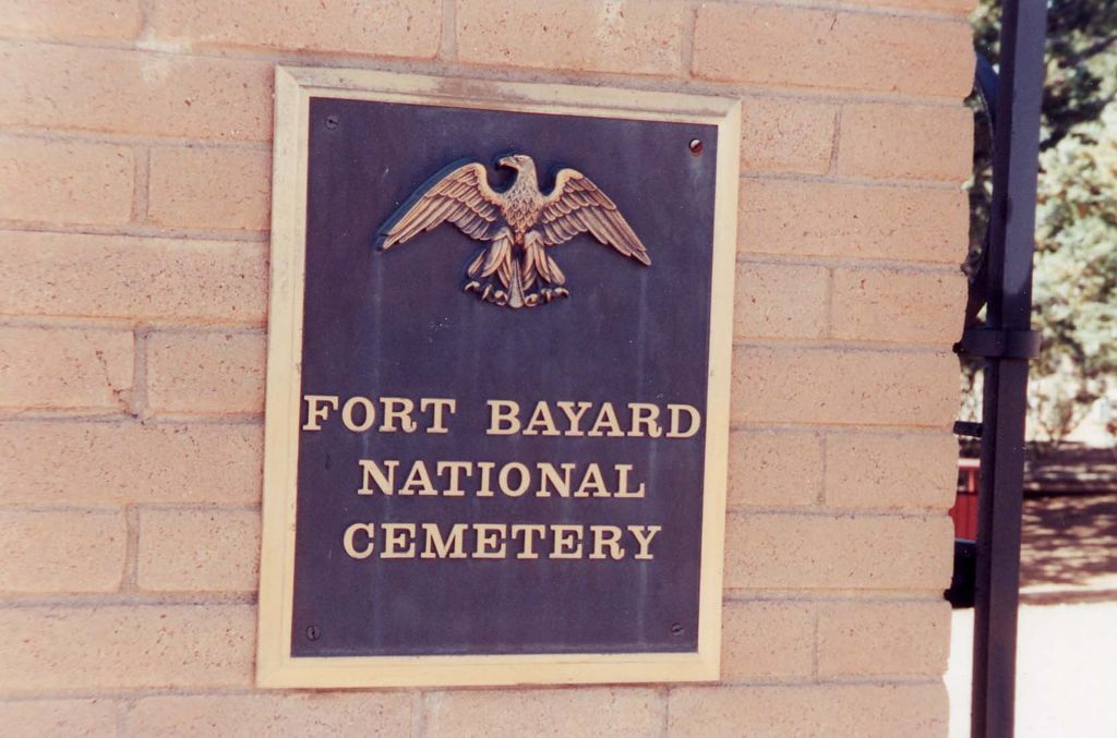
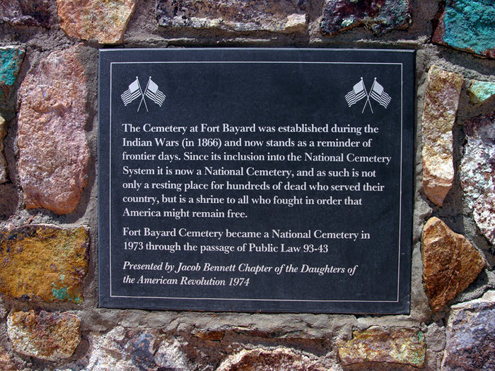
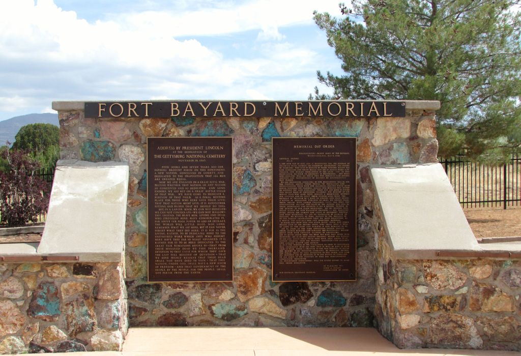
| Description | : | Office Hours: Monday thru Friday 8:00 a.m. to 4:00 p.m. Closed federal holidays except Memorial Day. Visitation Hours: Open daily from sunrise to sunset. Fort Bayard is located in southwestern New Mexico adjacent to the Gila National Forest. The site was chosen in 1863 for its springs and commanding view of the Apache war trails surrounding the nearby mining camps. In 1866, a permanent post was established here with the primary responsibility for protecting the Pinos Altos gold camp. The post was named Fort Bayard in honor of General G.D. Bayard, who died from wounds received during the Battle of Fredericksburg, and who... Read More |
frequently asked questions (FAQ):
-
Where is Fort Bayard National Cemetery?
Fort Bayard National Cemetery is located at 200 Camino De Paz Fort Bayard, Grant County ,New Mexico ,USA.
-
Fort Bayard National Cemetery cemetery's updated grave count on graveviews.com?
361 memorials
-
Where are the coordinates of the Fort Bayard National Cemetery?
Latitude: 32.7989006
Longitude: -108.1541977
Nearby Cemetories:
1. Fort Bayard Memorial Cemetery
Fort Bayard, Grant County, USA
Coordinate: 32.7907000, -108.1565000
2. Santa Clara Cemetery
Central, Grant County, USA
Coordinate: 32.7701920, -108.1530590
3. Vanadium Cemetery
Vanadium, Grant County, USA
Coordinate: 32.7820000, -108.1100000
4. Hanover Cemetery
Hanover, Grant County, USA
Coordinate: 32.8063000, -108.0893000
5. Bayard Cemetery
Bayard, Grant County, USA
Coordinate: 32.7403620, -108.1326270
6. Fierro Cemetery
Fierro, Grant County, USA
Coordinate: 32.8436012, -108.0755997
7. Santa Rita Cemetery #4
Santa Rita, Grant County, USA
Coordinate: 32.8137200, -108.0576200
8. Santa Rita #4
Santa Rita (Noriega y Anexo), Santa Bárbara Municipality, Mexico
Coordinate: 32.8136425, -108.0571579
9. Pinos Altos Community Cemetery
Pinos Altos, Grant County, USA
Coordinate: 32.8672791, -108.2173004
10. Memory Lane Cemetery
Silver City, Grant County, USA
Coordinate: 32.7830000, -108.2570000
11. Hurley Cemetery
Hurley, Grant County, USA
Coordinate: 32.6885986, -108.1363983
12. Masonic Cemetery
Silver City, Grant County, USA
Coordinate: 32.7572972, -108.2812361
13. Saint Vincent de Paul Catholic Cemetery
Silver City, Grant County, USA
Coordinate: 32.7572861, -108.2812361
14. Georgetown Cemetery
Silver City, Grant County, USA
Coordinate: 32.8405991, -108.0147018
15. Peace of the Wilderness Cemetery
Silver City, Grant County, USA
Coordinate: 32.8682050, -108.2875500
16. Hicks Cemetery
Grant County, USA
Coordinate: 32.9103012, -108.0044022
17. San Lorenzo Cemetery
San Lorenzo, Grant County, USA
Coordinate: 32.7910270, -107.9205040
18. San Juan Catholic Cemetery
Grant County, USA
Coordinate: 32.7647705, -107.9098969
19. Pine Cienega Cemetery
Grant County, USA
Coordinate: 32.6226050, -108.3039090
20. Perrault Ranch Cemetery
Sherman, Grant County, USA
Coordinate: 32.7493770, -107.8935000
21. Savannah Cemetery
Tyrone, Grant County, USA
Coordinate: 32.6443000, -108.3568000
22. Coleson's Crossing Cemetery
Dwyer, Grant County, USA
Coordinate: 32.5682540, -107.9522090
23. Dwyer Cemetery
Dwyer, Grant County, USA
Coordinate: 32.6231600, -107.8792400
24. Foster Cemetery
Luna County, USA
Coordinate: 32.5862410, -107.9062660