
| Memorials | : | 0 |
| Location | : | Jenner, Sonoma County, USA |
| Phone | : | (707) 847-3286 |
| Website | : | www.fortrossstatepark.org/ |
| Coordinate | : | 38.5147490, -123.2400160 |
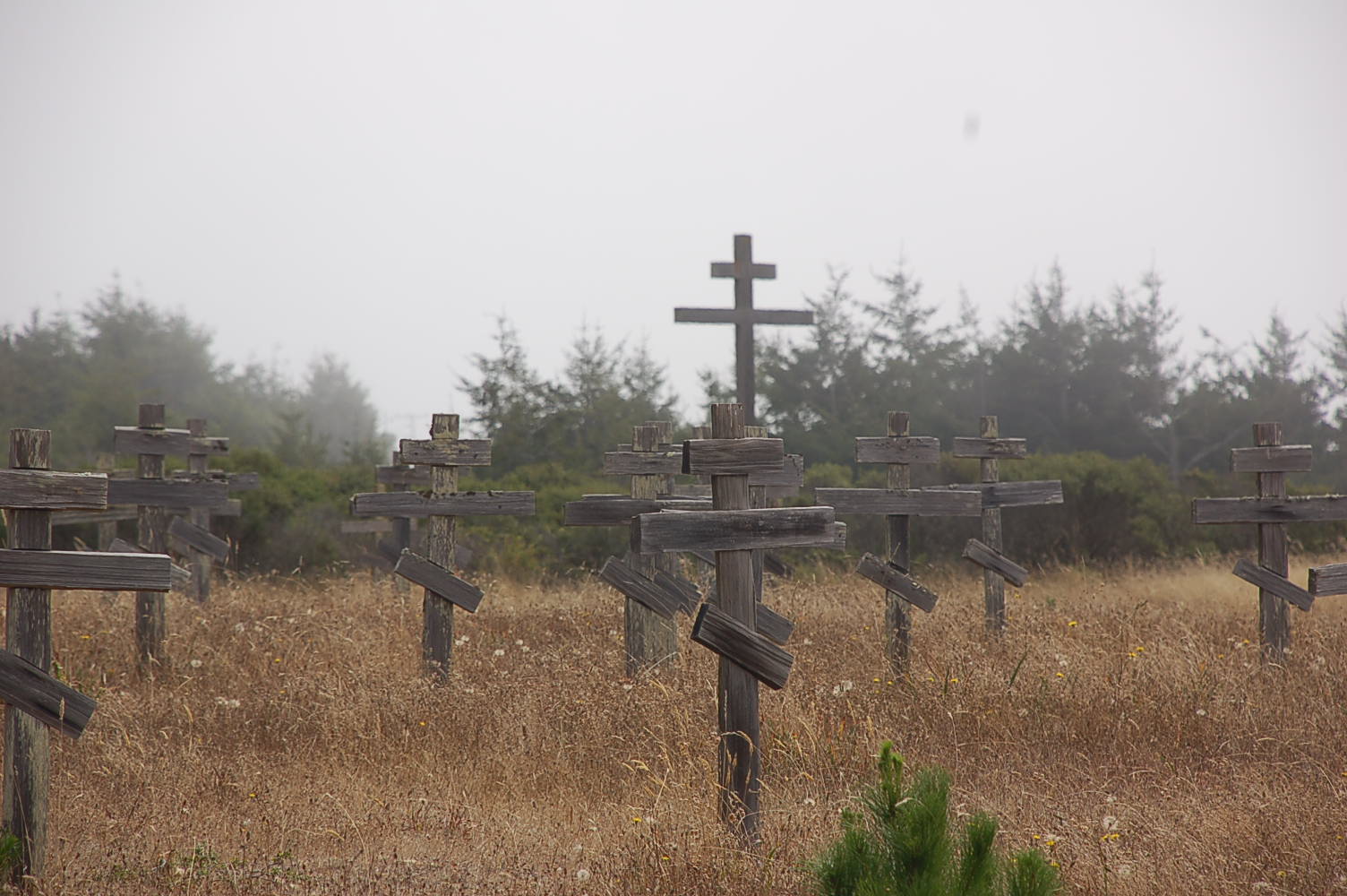
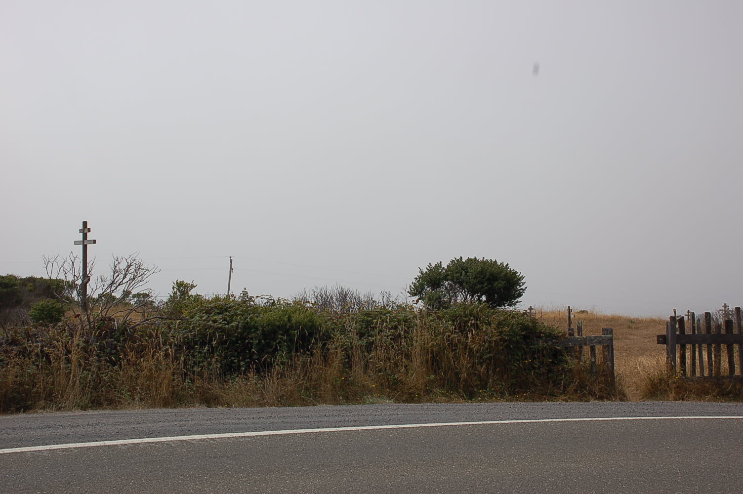
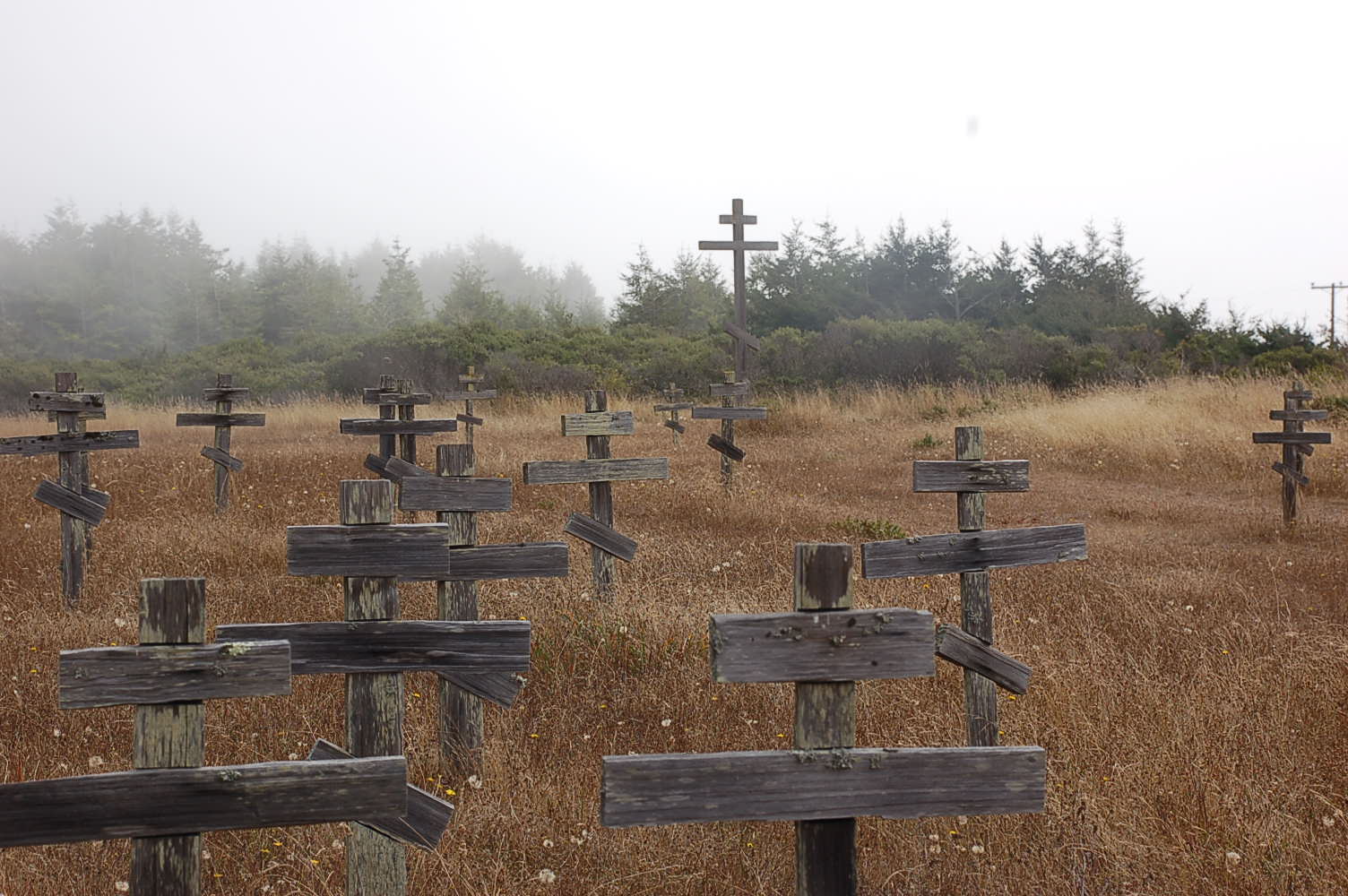
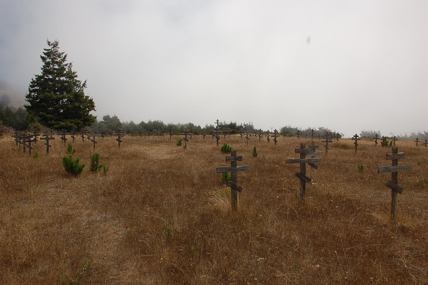
| Description | : | Park Hours: The park grounds are open a half-hour before sunrise to a half-hour after sunset each day. The Visitor Center, Bookstore, and Fort Compound are open from 10:00 AM to 4:30 PM each day. Closed Thanksgiving and Christmas. Day use fees: There is a per-car entrance fee to the park. As of August 2010, the fees are $8.00 per vehicle or $7.00 per vehicle for seniors. The cemetery is accessed from California State Highway 1 about 1/2 mile south of the Fort Ross Chapel, at approximately mile marker 32.20. It is on the west side of the highway. ... Read More |
frequently asked questions (FAQ):
-
Where is Fort Ross State Historic Park Cemetery?
Fort Ross State Historic Park Cemetery is located at 19005 Coast Highway One Jenner, Sonoma County ,California , 95450USA.
-
Fort Ross State Historic Park Cemetery cemetery's updated grave count on graveviews.com?
0 memorials
-
Where are the coordinates of the Fort Ross State Historic Park Cemetery?
Latitude: 38.5147490
Longitude: -123.2400160
Nearby Cemetories:
1. Benitz Ranch Cemetery
Jenner, Sonoma County, USA
Coordinate: 38.5304480, -123.2692660
2. Seaview Cemetery
Seaview, Sonoma County, USA
Coordinate: 38.5433006, -123.2230988
3. Rouff - Thomas Cemetery
Cloverdale, Sonoma County, USA
Coordinate: 38.5404960, -123.2851310
4. Howie Ranch Cemetery
Cazadero, Sonoma County, USA
Coordinate: 38.5644960, -123.2060050
5. Slattery Ranch Cemetery
Cazadero, Sonoma County, USA
Coordinate: 38.5529520, -123.1593130
6. Cooper Cemetery
Stewarts Point, Sonoma County, USA
Coordinate: 38.6128464, -123.2773285
7. Cunningham Ranch Cemetery
Cazadero, Sonoma County, USA
Coordinate: 38.5405680, -123.1089740
8. William Churchman Ranch Cemetery
Cazadero, Sonoma County, USA
Coordinate: 38.5671810, -123.1205180
9. Trosper Ranch Cemetery
Cazadero, Sonoma County, USA
Coordinate: 38.5720120, -123.1201740
10. Elim Grove Cemetery
Cazadero, Sonoma County, USA
Coordinate: 38.5169590, -123.0887470
11. Otis Ranch Cemetery
Cazadero, Sonoma County, USA
Coordinate: 38.5313260, -123.0886990
12. Walter Brain Ranch Cemetery
Cazadero, Sonoma County, USA
Coordinate: 38.5332340, -123.0852850
13. Kricke Ranch Cemetery
Cazadero, Sonoma County, USA
Coordinate: 38.5036910, -123.0790620
14. Del Stewart Ranch Cemetery
Cazadero, Sonoma County, USA
Coordinate: 38.4998290, -123.0793090
15. Sugarloaf Cemetery
Annapolis, Sonoma County, USA
Coordinate: 38.6534800, -123.2643300
16. Haupt Ranch Cemetery
Stewarts Point, Sonoma County, USA
Coordinate: 38.6582400, -123.3045400
17. John Anderson Ranch Cemetery
Stewarts Point, Sonoma County, USA
Coordinate: 38.6253752, -123.3746842
18. Duncans Mills Cemetery
Duncans Mills, Sonoma County, USA
Coordinate: 38.4593560, -123.0547780
19. Kashia Indian Reservation Cemetery
Stewarts Point, Sonoma County, USA
Coordinate: 38.6496480, -123.3971500
20. Stewarts Point Cemetery
Stewarts Point, Sonoma County, USA
Coordinate: 38.6496380, -123.3976800
21. Saint Catherines Church Cemetery
Monte Rio, Sonoma County, USA
Coordinate: 38.4691010, -123.0104980
22. Redwood Memorial Gardens
Guerneville, Sonoma County, USA
Coordinate: 38.5071983, -122.9927979
23. Annapolis Church Cemetery
Annapolis, Sonoma County, USA
Coordinate: 38.7184830, -123.3455887
24. Grace La Vala Burial Site
Annapolis, Sonoma County, USA
Coordinate: 38.7000035, -123.4138760