
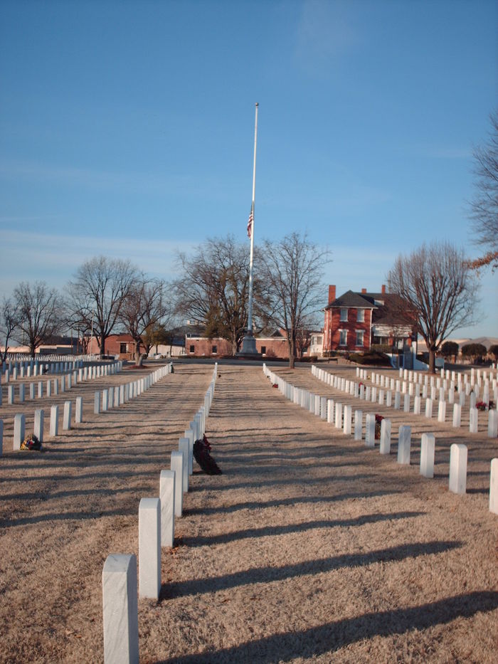
| Memorials | : | 743 |
| Location | : | Fort Smith, Sebastian County, USA |
| Phone | : | 479-783-5345 |
| Coordinate | : | 35.3838997, -94.4291992 |
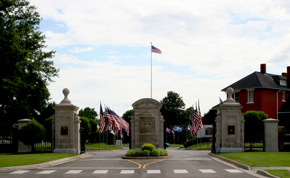
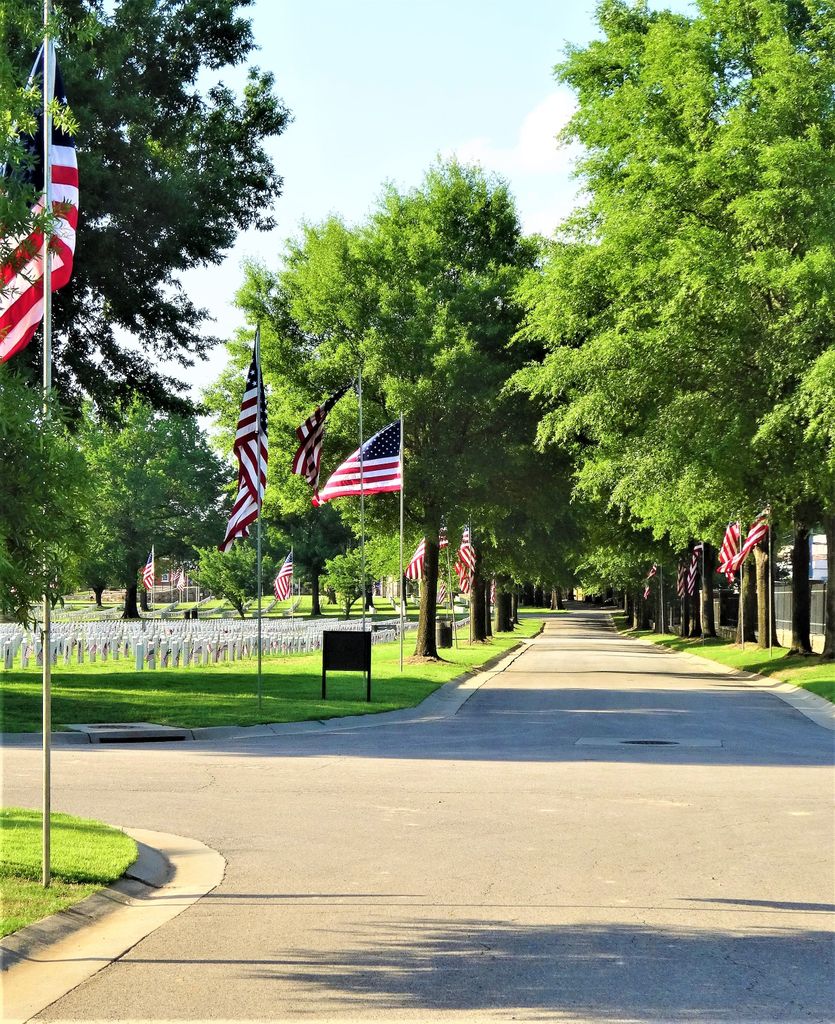
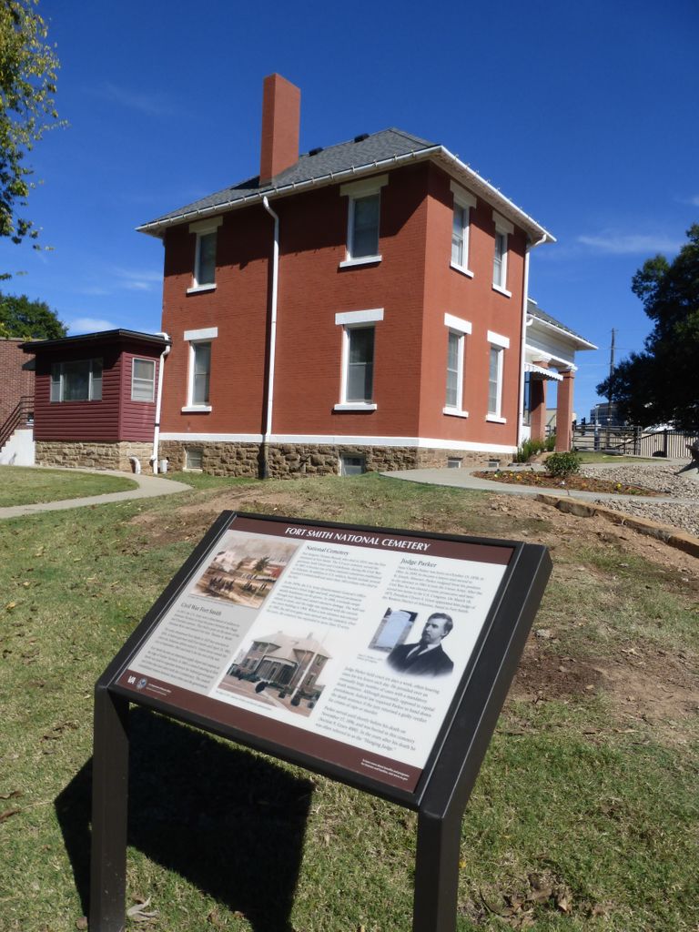
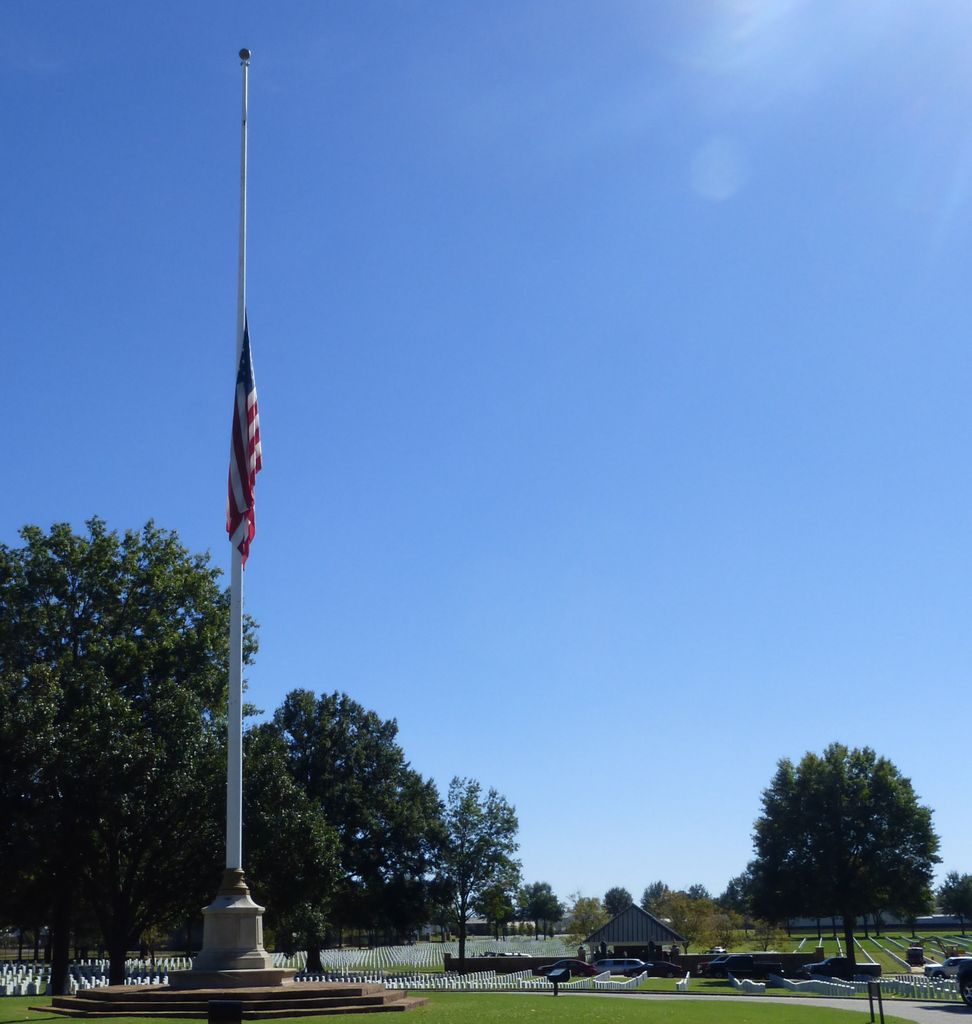
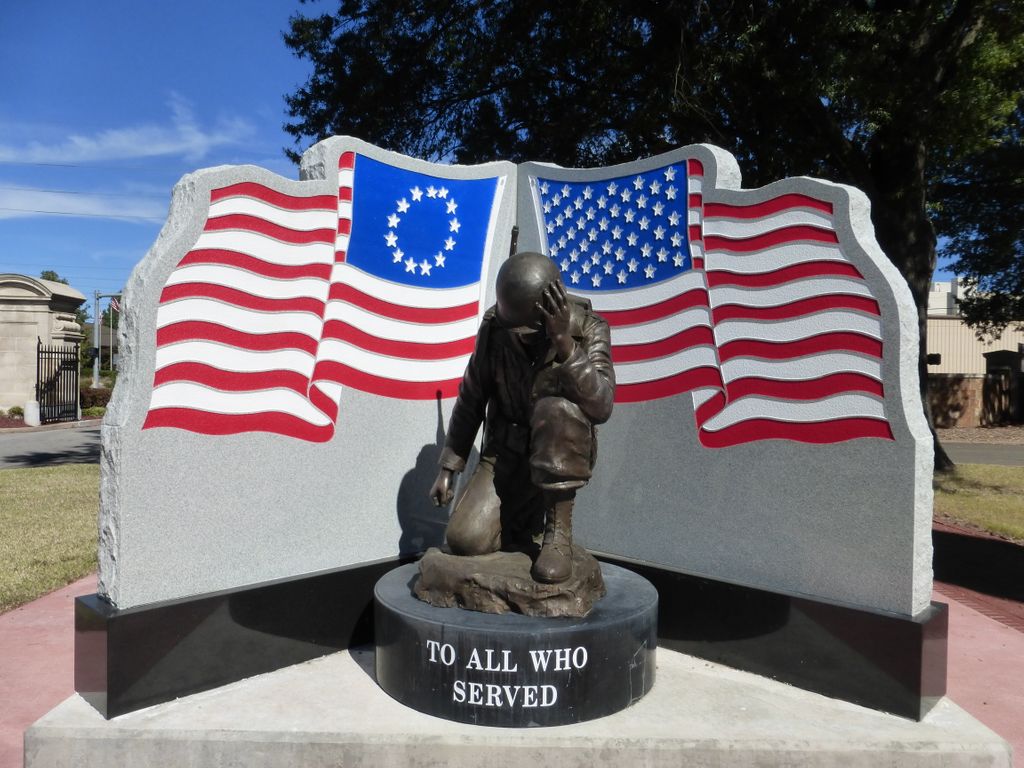
| Description | : | Office Hours: Monday thru Friday 8:00 a.m. to 4:30 p.m. Closed federal holidays except Memorial Day and Veterans Day. Visitation Hours: Open daily 7:30 a.m. to sunset. On Christmas Day 1817, General William Bradford and his men arrived on the point of land just below the confluence of the Poteau and Arkansas rivers, where they began constructing a stockade fort sufficient for one company. Within a few years of its establishment, additional troops were garrisoned to maintain peace and prevent hostilities between the Cherokee and the Osage. However, 50 men (about 25 percent of the command) died in 1823, with forty-four of the... Read More |
frequently asked questions (FAQ):
-
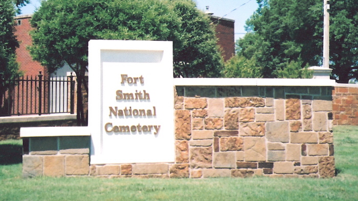
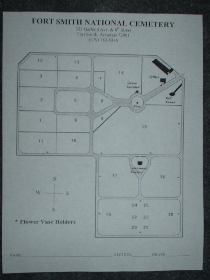
Where is Fort Smith National Cemetery?
Fort Smith National Cemetery is located at 522 Garland Avenue and South 6th Street Fort Smith, Sebastian County ,Arkansas , 72901USA.
-
Fort Smith National Cemetery cemetery's updated grave count on graveviews.com?
728 memorials
-
Where are the coordinates of the Fort Smith National Cemetery?
Latitude: 35.3838997
Longitude: -94.4291992
Nearby Cemetories:
1. Saint John Episcopal Church Columbarium
Fort Smith, Sebastian County, USA
Coordinate: 35.3895490, -94.4234350
2. Immaculate Conception Catholic Columbarium
Fort Smith, Sebastian County, USA
Coordinate: 35.3828960, -94.4184930
3. First Presbyterian Church Columbarium
Fort Smith, Sebastian County, USA
Coordinate: 35.3849900, -94.4182700
4. First United Methodist Church Columbarium
Fort Smith, Sebastian County, USA
Coordinate: 35.3834560, -94.4150440
5. Jewish Cemetery
Fort Smith, Sebastian County, USA
Coordinate: 35.3757000, -94.4176000
6. Calvary Cemetery
Fort Smith, Sebastian County, USA
Coordinate: 35.3764000, -94.4167023
7. Goddard United Methodistb Church Columbarium
Fort Smith, Sebastian County, USA
Coordinate: 35.3720830, -94.4129730
8. Oak Cemetery
Fort Smith, Sebastian County, USA
Coordinate: 35.3694000, -94.4017029
9. Christ the King Catholic Church Columbarium
Fort Smith, Sebastian County, USA
Coordinate: 35.3641970, -94.4045960
10. Saint Bartholomew Episcopal Church Garden
Fort Smith, Sebastian County, USA
Coordinate: 35.3571380, -94.3945150
11. Saint Scholastica Cemetery
Fort Smith, Sebastian County, USA
Coordinate: 35.3700890, -94.3842790
12. Woodlawn Memorial Park
Fort Smith, Sebastian County, USA
Coordinate: 35.3443300, -94.4329000
13. Stromberg Family Cemetery
Fort Smith, Sebastian County, USA
Coordinate: 35.3392160, -94.4309880
14. Rose Lawn Park Cemetery
Fort Smith, Sebastian County, USA
Coordinate: 35.3917007, -94.3700027
15. RoseLawn Park Columbarium
Fort Smith, Sebastian County, USA
Coordinate: 35.3917000, -94.3700000
16. Holy Cross Cemetery
Fort Smith, Sebastian County, USA
Coordinate: 35.3978004, -94.3685989
17. Washington Cemetery
Fort Smith, Sebastian County, USA
Coordinate: 35.4095980, -94.3713360
18. Falconer Cemetery
Fort Smith, Sebastian County, USA
Coordinate: 35.3374810, -94.3939300
19. Elmwood Cemetery
Fort Smith, Sebastian County, USA
Coordinate: 35.3276430, -94.4112720
20. Nolon Springs Cemetery
Fort Smith, Sebastian County, USA
Coordinate: 35.4291992, -94.3843994
21. Forest Park Cemetery
Fort Smith, Sebastian County, USA
Coordinate: 35.4261017, -94.3719025
22. Dora Cemetery
Van Buren, Crawford County, USA
Coordinate: 35.4493350, -94.4394630
23. Shady Grove Baptist Church Cemetery
Muldrow, Sequoyah County, USA
Coordinate: 35.3947100, -94.5135400
24. Fairview Cemetery
Van Buren, Crawford County, USA
Coordinate: 35.4411011, -94.3503036