
| Memorials | : | 46 |
| Location | : | West Jefferson, Madison County, USA |
| Coordinate | : | 39.9956017, -83.2630997 |
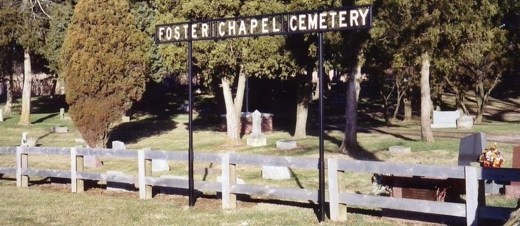
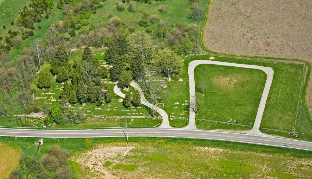
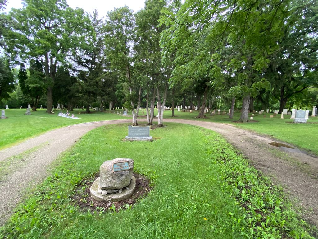
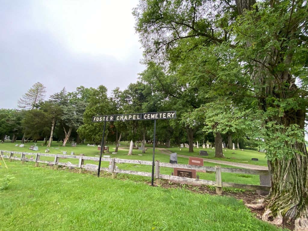
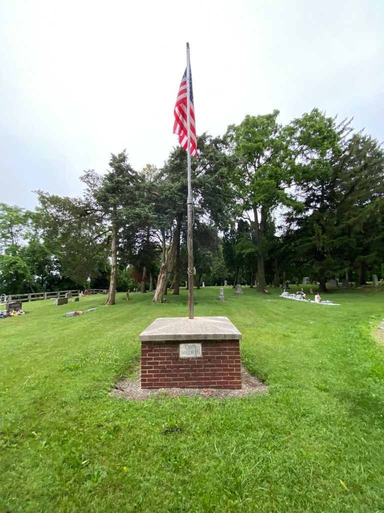
| Description | : | The cemetery is located on the east side of NE Plain City-Georgesville Road (County Road 7) about 0.2 miles south of its intersection with Morgan Road (County Road 46). The cemetery is located in Jefferson Township, Madison County, Ohio, and is # 7122 (Alder Chapel Cemetery / Foster Chapel Cemetery / Methodist Episcopal Cemetery) in “Ohio Cemeteries 1803-2003”, compiled by the Ohio Genealogical Society. The cemetery is registered with the Ohio Division of Real Estate and Professional Licensing (ODRE) as Foster Chapel with registration license number CGR.0000980324. The U.S. Geological Survey (USGS) Geographic Names Information System (GNIS) feature... Read More |
frequently asked questions (FAQ):
-
Where is Foster Chapel Cemetery?
Foster Chapel Cemetery is located at NE Plain City-Georgesville Road (County Road 7) West Jefferson, Madison County ,Ohio , 43162USA.
-
Foster Chapel Cemetery cemetery's updated grave count on graveviews.com?
42 memorials
-
Where are the coordinates of the Foster Chapel Cemetery?
Latitude: 39.9956017
Longitude: -83.2630997
Nearby Cemetories:
1. Converse Cemetery
Plain City, Madison County, USA
Coordinate: 40.0363998, -83.2613983
2. Blair Cemetery
West Jefferson, Madison County, USA
Coordinate: 39.9735985, -83.3110962
3. Big Darby Cemetery
Plain City, Madison County, USA
Coordinate: 40.0430984, -83.2624969
4. Pleasant Hill Cemetery
West Jefferson, Madison County, USA
Coordinate: 39.9444008, -83.2844009
5. Hampton Cemetery
West Jefferson, Madison County, USA
Coordinate: 39.9397011, -83.2692032
6. Mount Calvary Cemetery
West Jefferson, Madison County, USA
Coordinate: 39.9364014, -83.2769012
7. Finch Cemetery
Madison County, USA
Coordinate: 40.0722008, -83.2686005
8. Sharon Cemetery
Plain City, Madison County, USA
Coordinate: 40.0724983, -83.2683029
9. Sunset Cemetery
Galloway, Franklin County, USA
Coordinate: 39.9460983, -83.1847000
10. Clover Cemetery
Alton, Franklin County, USA
Coordinate: 39.9619751, -83.1682434
11. Alton Methodist Episcopal Church Cemetery
Franklin County, USA
Coordinate: 39.9494362, -83.1728592
12. Alton Cemetery
Alton, Franklin County, USA
Coordinate: 39.9547005, -83.1682968
13. Saint James Lutheran Church Cemetery
Hilliard, Franklin County, USA
Coordinate: 39.9807358, -83.1494675
14. Haven Fellowship Cemetery
Madison County, USA
Coordinate: 40.0833244, -83.2466736
15. Hiser Family Cemetery
Norwich Township, Franklin County, USA
Coordinate: 40.0537328, -83.1733803
16. Rings Cemetery
Hilliard, Franklin County, USA
Coordinate: 40.0628014, -83.1831970
17. Wright Cemetery
West Jefferson, Madison County, USA
Coordinate: 39.9342003, -83.3617020
18. Forest Grove Cemetery
Plain City, Madison County, USA
Coordinate: 40.0938988, -83.2528000
19. Converse-Huff Cemetery
Rosedale, Madison County, USA
Coordinate: 40.0764008, -83.3394012
20. Darby Township Cemetery
Plain City, Madison County, USA
Coordinate: 40.0985985, -83.2624969
21. Bethesda Fellowship Cemetery
Plain City, Madison County, USA
Coordinate: 40.0939910, -83.3088920
22. Bradley Cemetery
Plumwood, Madison County, USA
Coordinate: 39.9956017, -83.4002991
23. Postle Cemetery
Galloway, Franklin County, USA
Coordinate: 39.9427986, -83.1438980
24. McDonald Cemetery
Madison County, USA
Coordinate: 39.9152380, -83.3529210