
| Memorials | : | 9877 |
| Location | : | Galloway, Franklin County, USA |
| Phone | : | 614-878-4692 |
| Coordinate | : | 39.9460983, -83.1847000 |
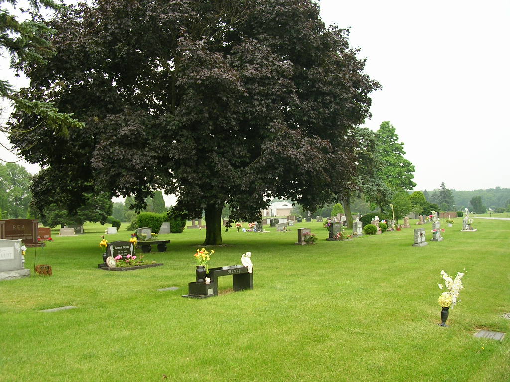
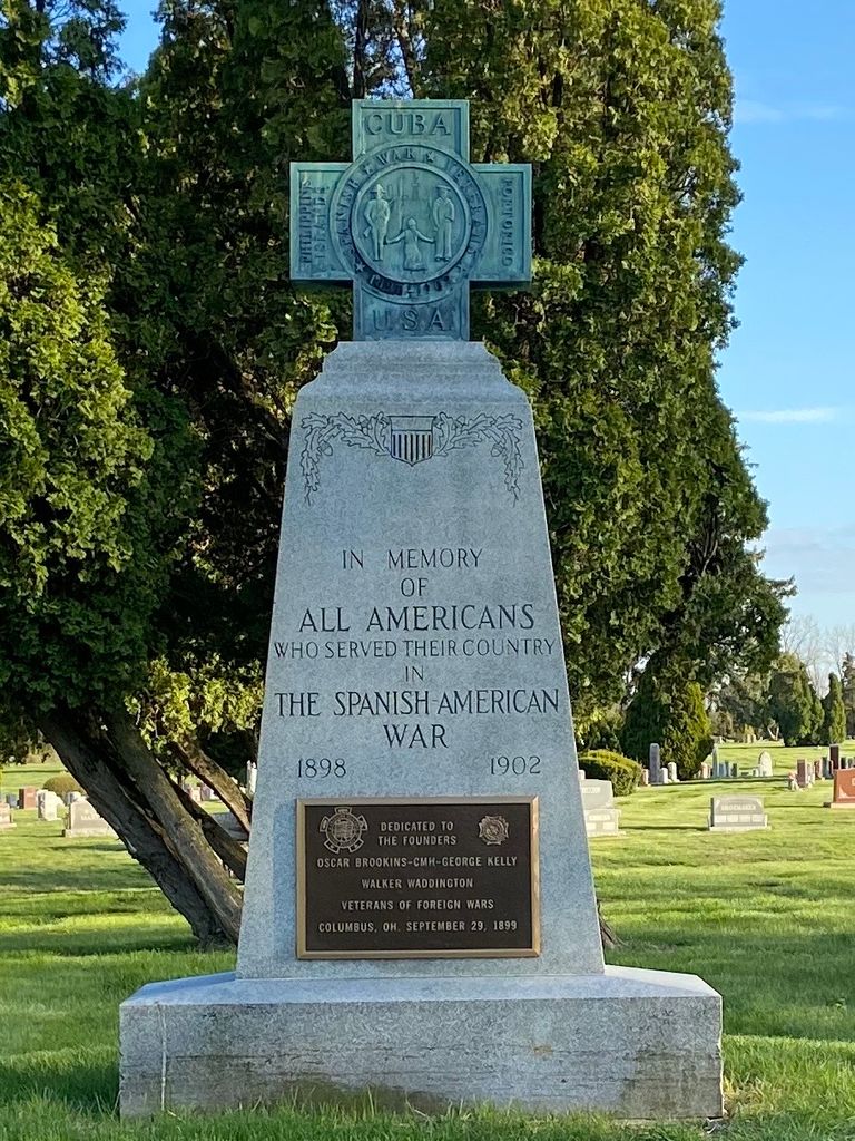
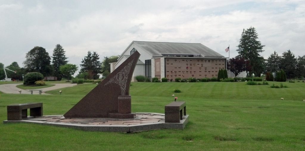
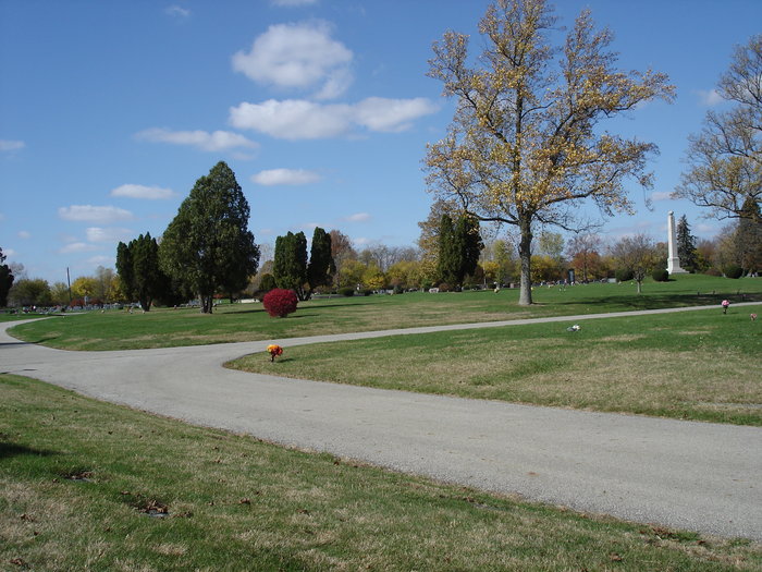
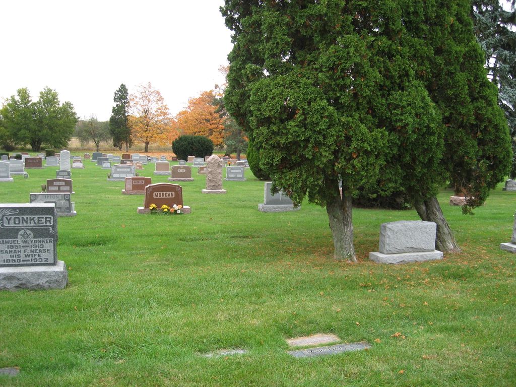
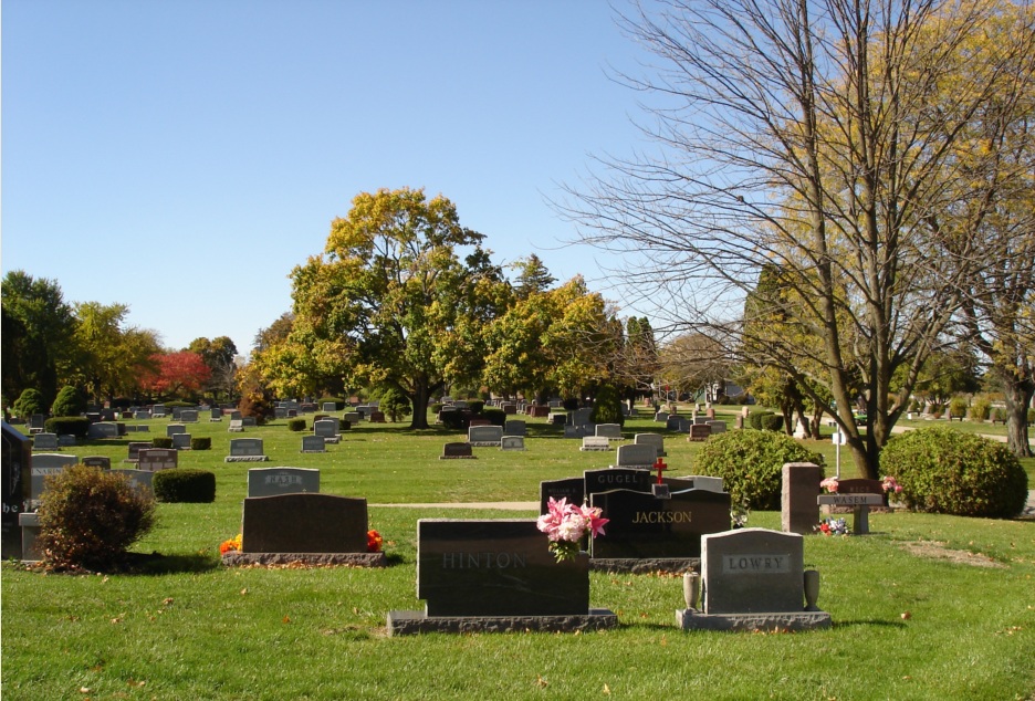
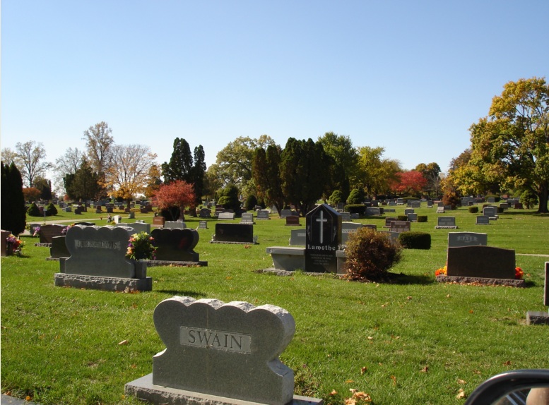
| Description | : | Formerly known as Memorial Park. The cemetery is located in Prairie Township, Franklin County, Ohio, and is #3677 (Memorial Burial Park / Sunset Cemetery) in “Ohio Cemeteries 1803-2003”, compiled by the Ohio Genealogical Society. The cemetery is registered with the Ohio Division of Real Estate and Professional Licensing (ODRE) as Sunset Trust Estate - Sunset Cemetery with registration license number CRC.0000983204. The U.S. Geological Survey (USGS) Geographic Names Information System (GNIS) feature ID for the cemetery is 1080448 (Sunset Cemetery / Sunrise Cemetery). |
frequently asked questions (FAQ):
-
Where is Sunset Cemetery?
Sunset Cemetery is located at 6959 W Broad St Galloway, Franklin County ,Ohio , 43119USA.
-
Sunset Cemetery cemetery's updated grave count on graveviews.com?
9839 memorials
-
Where are the coordinates of the Sunset Cemetery?
Latitude: 39.9460983
Longitude: -83.1847000

Nearby Cemetories:
1. Alton Methodist Episcopal Church Cemetery
Franklin County, USA
Coordinate: 39.9494362, -83.1728592
2. Alton Cemetery
Alton, Franklin County, USA
Coordinate: 39.9547005, -83.1682968
3. Clover Cemetery
Alton, Franklin County, USA
Coordinate: 39.9619751, -83.1682434
4. Postle Cemetery
Galloway, Franklin County, USA
Coordinate: 39.9427986, -83.1438980
5. Galloway Cemetery
Galloway, Franklin County, USA
Coordinate: 39.9091988, -83.1613998
6. Saint James Lutheran Church Cemetery
Hilliard, Franklin County, USA
Coordinate: 39.9807358, -83.1494675
7. Oak Grove Cemetery
Georgesville, Franklin County, USA
Coordinate: 39.8944016, -83.2130966
8. Gardner Cemetery
Georgesville, Franklin County, USA
Coordinate: 39.8952179, -83.2169724
9. Ebenezer Cemetery
Franklin County, USA
Coordinate: 39.8913994, -83.1613998
10. Peters Cemetery #2
Columbus, Franklin County, USA
Coordinate: 39.9325560, -83.1069740
11. Hampton Cemetery
West Jefferson, Madison County, USA
Coordinate: 39.9397011, -83.2692032
12. Gundy Cemetery
Grove City, Franklin County, USA
Coordinate: 39.8828011, -83.1557999
13. Salem Cemetery
Franklin County, USA
Coordinate: 39.9141159, -83.1077042
14. Clime Cemetery
Columbus, Franklin County, USA
Coordinate: 39.9288902, -83.0986404
15. Mount Calvary Cemetery
West Jefferson, Madison County, USA
Coordinate: 39.9364014, -83.2769012
16. Pleasant Hill Cemetery
West Jefferson, Madison County, USA
Coordinate: 39.9444008, -83.2844009
17. Foster Chapel Cemetery
West Jefferson, Madison County, USA
Coordinate: 39.9956017, -83.2630997
18. Lilly-Dyer Cemetery
Franklin County, USA
Coordinate: 39.8650017, -83.1959991
19. Camp Chase Confederate Cemetery
Columbus, Franklin County, USA
Coordinate: 39.9439011, -83.0761032
20. Grove City Cemetery West
Grove City, Franklin County, USA
Coordinate: 39.8820381, -83.1093750
21. Campbell Memorial Park
Franklin County, USA
Coordinate: 39.9897003, -83.0808029
22. Hart Cemetery
Hilliard, Franklin County, USA
Coordinate: 40.0273666, -83.1295013
23. Saint John's Lutheran Church Cemetery
Grove City, Franklin County, USA
Coordinate: 39.8807678, -83.1001129
24. Biggert Cemetery
Grove City, Franklin County, USA
Coordinate: 39.8561440, -83.2130190