
| Memorials | : | 674 |
| Location | : | West Jefferson, Madison County, USA |
| Coordinate | : | 39.9444008, -83.2844009 |
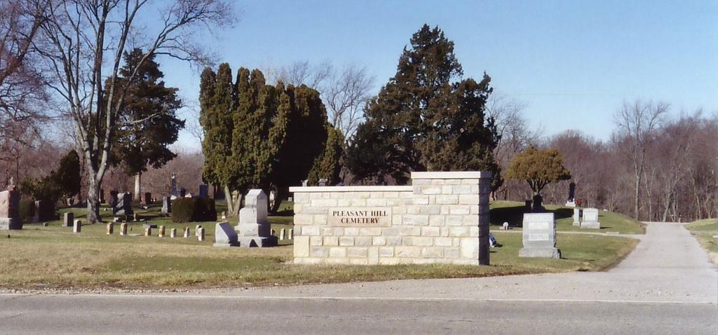
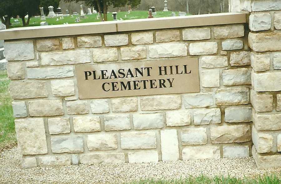
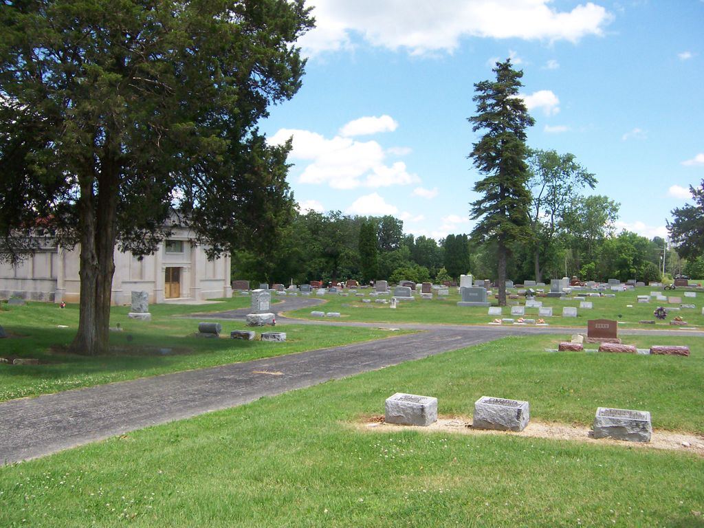
| Description | : | The cemetery is locational at the intersection of National Pike / West Main Street (US 40) and Taylor-Blair Road (County Road 14). The cemetery is located in Jefferson Township, Madison County, Ohio, and is # 7127 (Pleasant Hill Cemetery) in “Ohio Cemeteries 1803-2003”, compiled by the Ohio Genealogical Society. The cemetery is registered with the Ohio Division of Real Estate and Professional Licensing (ODRE) as Pleasant Hill Cemetery with registration license number CGR.0000980325. The U.S. Geological Survey (USGS) Geographic Names Information System (GNIS) feature ID for the cemetery is 1044544 (Pleasant Hill Cemetery). |
frequently asked questions (FAQ):
-
Where is Pleasant Hill Cemetery?
Pleasant Hill Cemetery is located at National Pike (US 40) / West Main Street West Jefferson, Madison County ,Ohio , 43162USA.
-
Pleasant Hill Cemetery cemetery's updated grave count on graveviews.com?
671 memorials
-
Where are the coordinates of the Pleasant Hill Cemetery?
Latitude: 39.9444008
Longitude: -83.2844009
Nearby Cemetories:
1. Mount Calvary Cemetery
West Jefferson, Madison County, USA
Coordinate: 39.9364014, -83.2769012
2. Hampton Cemetery
West Jefferson, Madison County, USA
Coordinate: 39.9397011, -83.2692032
3. Blair Cemetery
West Jefferson, Madison County, USA
Coordinate: 39.9735985, -83.3110962
4. Foster Chapel Cemetery
West Jefferson, Madison County, USA
Coordinate: 39.9956017, -83.2630997
5. McDonald Cemetery
Madison County, USA
Coordinate: 39.9152380, -83.3529210
6. Wright Cemetery
West Jefferson, Madison County, USA
Coordinate: 39.9342003, -83.3617020
7. Gardner Cemetery
Georgesville, Franklin County, USA
Coordinate: 39.8952179, -83.2169724
8. Oak Grove Cemetery
Georgesville, Franklin County, USA
Coordinate: 39.8944016, -83.2130966
9. Jackson Cemetery
Madison County, USA
Coordinate: 39.8717003, -83.2643967
10. Sunset Cemetery
Galloway, Franklin County, USA
Coordinate: 39.9460983, -83.1847000
11. Lower Glade Cemetery
Madison County, USA
Coordinate: 39.8816986, -83.3510971
12. Alton Methodist Episcopal Church Cemetery
Franklin County, USA
Coordinate: 39.9494362, -83.1728592
13. Alton Cemetery
Alton, Franklin County, USA
Coordinate: 39.9547005, -83.1682968
14. Clover Cemetery
Alton, Franklin County, USA
Coordinate: 39.9619751, -83.1682434
15. Old Davidson Burying Ground
London, Madison County, USA
Coordinate: 39.9157480, -83.3971650
16. Garrett Cemetery
Madison County, USA
Coordinate: 39.9030991, -83.3933029
17. Converse Cemetery
Plain City, Madison County, USA
Coordinate: 40.0363998, -83.2613983
18. Big Darby Cemetery
Plain City, Madison County, USA
Coordinate: 40.0430984, -83.2624969
19. Galloway Cemetery
Galloway, Franklin County, USA
Coordinate: 39.9091988, -83.1613998
20. Deer Creek Township Cemetery
Lafayette, Madison County, USA
Coordinate: 39.9369960, -83.4163250
21. Bradley Cemetery
Plumwood, Madison County, USA
Coordinate: 39.9956017, -83.4002991
22. Biggert Cemetery
Grove City, Franklin County, USA
Coordinate: 39.8561440, -83.2130190
23. Lilly-Dyer Cemetery
Franklin County, USA
Coordinate: 39.8650017, -83.1959991
24. Big Plain Cemetery
Big Plain, Madison County, USA
Coordinate: 39.8372002, -83.2807999