
| Memorials | : | 1526 |
| Location | : | Fostoria, Hancock County, USA |
| Phone | : | 419-435-3113 |
| Coordinate | : | 41.1641998, -83.4302979 |
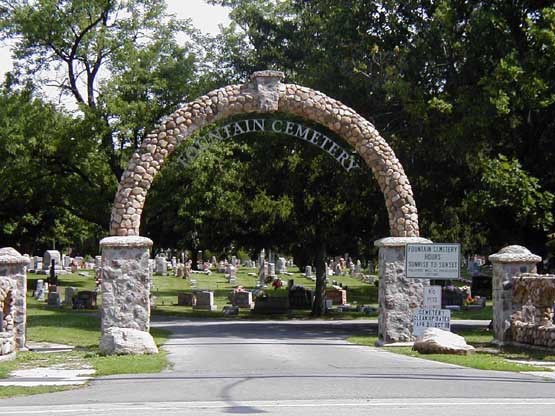
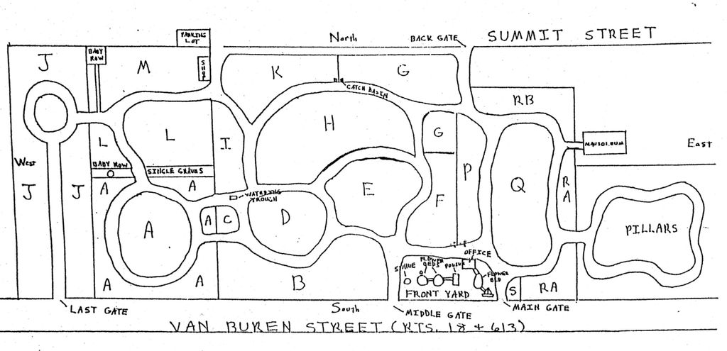
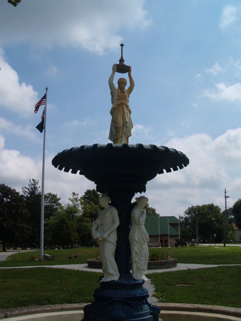
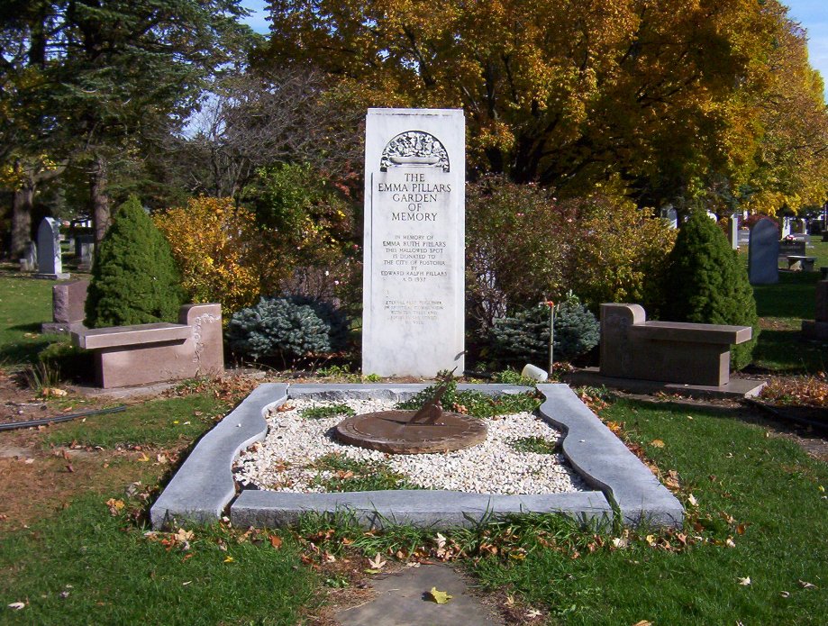
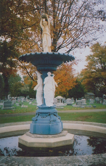
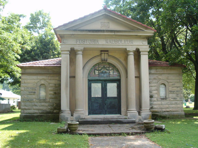
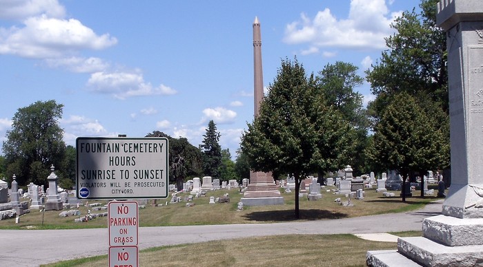
| Description | : | Fountain Cemetery encompasses nearly 38 acres between Summit and Van Buren streets in Fostoria, OH. While the City of Fostoria itself spans three counties (Hancock, Seneca and Wood) in Northwest Ohio, Fountain Cemetery lies entirely within Hancock County. The cemetery was established as “Fostoria Cemetery” in 1856 when the first graves were dug for two children of the Rev. G.W. Collier, the pastor of the Methodist Church. In 1900, the cemetery was renamed “Fountain Cemetery” because of its many fountains that graced the grounds. |
frequently asked questions (FAQ):
-
Where is Fountain Cemetery?
Fountain Cemetery is located at 702 Van Buren Street Fostoria, Hancock County ,Ohio , 44830USA.
-
Fountain Cemetery cemetery's updated grave count on graveviews.com?
1515 memorials
-
Where are the coordinates of the Fountain Cemetery?
Latitude: 41.1641998
Longitude: -83.4302979
Nearby Cemetories:
1. Saint Wendelin Catholic Cemetery
Fostoria, Hancock County, USA
Coordinate: 41.1618996, -83.4321976
2. Loudon Township Cemetery
Fostoria, Seneca County, USA
Coordinate: 41.1353300, -83.3874200
3. Wells Family Cemetery
Arcadia, Hancock County, USA
Coordinate: 41.1225482, -83.4785878
4. Vickers Cemetery
Washington Township, Hancock County, USA
Coordinate: 41.1585999, -83.5074997
5. Perry Center Cemetery
Perry Township, Wood County, USA
Coordinate: 41.2133860, -83.4721490
6. Zion Lutheran Cemetery
Jackson Township, Seneca County, USA
Coordinate: 41.1811600, -83.3432600
7. Sheller Cemetery
Seneca County, USA
Coordinate: 41.0980988, -83.4024963
8. Dysinger Cemetery
Seneca County, USA
Coordinate: 41.2263985, -83.3863983
9. Saint John's United Church of Christ Cemetery
Fostoria, Seneca County, USA
Coordinate: 41.1036570, -83.3646250
10. Arcadia Cemetery
Arcadia, Hancock County, USA
Coordinate: 41.1100006, -83.5100021
11. Riverview Cemetery
West Millgrove, Wood County, USA
Coordinate: 41.2403183, -83.4954071
12. Union Cemetery
West Independence, Hancock County, USA
Coordinate: 41.0746994, -83.4543991
13. Knollcrest Cemetery
Arcadia, Hancock County, USA
Coordinate: 41.0997360, -83.5316490
14. Saint Patrick Catholic Cemetery
Loudon Township, Seneca County, USA
Coordinate: 41.1082993, -83.3155975
15. Saint Peter Catholic Cemetery
Alvada, Seneca County, USA
Coordinate: 41.0656013, -83.3843994
16. Enon Valley Presbyterian Cemetery
West Independence, Hancock County, USA
Coordinate: 41.0682983, -83.4907990
17. Saint Andrew Catholic Cemetery
Liberty Township, Seneca County, USA
Coordinate: 41.1775500, -83.2849200
18. Sandridge Cemetery
Bascom, Seneca County, USA
Coordinate: 41.1320000, -83.2860300
19. Null Cemetery
Liberty Township, Seneca County, USA
Coordinate: 41.1850014, -83.2799988
20. Mennonite Cemetery
Perry Township, Wood County, USA
Coordinate: 41.2531100, -83.5279800
21. Kampf Cemetery
Biglick Township, Hancock County, USA
Coordinate: 41.0574320, -83.4963660
22. Liberty Cemetery
Liberty Township, Seneca County, USA
Coordinate: 41.2174988, -83.2866974
23. Bloom Chapel Cemetery
Bairdstown, Wood County, USA
Coordinate: 41.1875000, -83.5888977
24. Graham Cemetery
Hancock County, USA
Coordinate: 41.0403150, -83.4468340