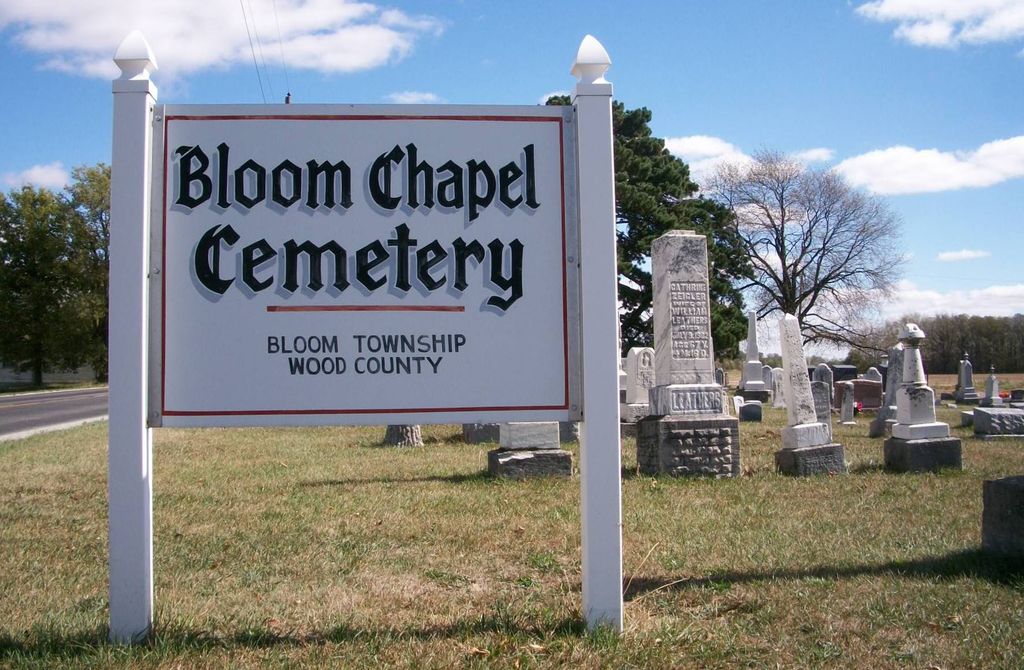
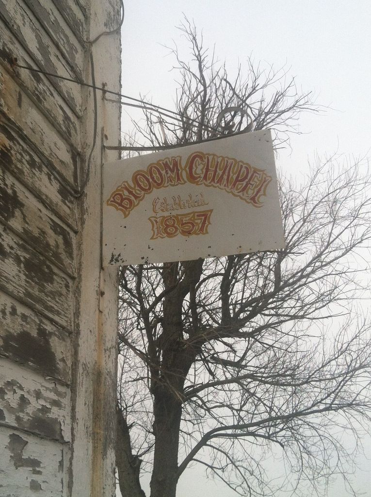
| Memorials | : | 23 |
| Location | : | Bairdstown, Wood County, USA |
| Coordinate | : | 41.1875000, -83.5888977 |
| Description | : | The cemetery is located on the southwest corner of Eagleville Road (County Road 34) and Fast Road (County Road 141). The cemetery is located in Bloom Township, Wood County, Ohio, and is # 12839 (Baird Cemetery / Bloom Chapel Cemetery / Fast Cemetery / Chapel Cemetery) in “Ohio Cemeteries 1803-2003”, compiled by the Ohio Genealogical Society. The cemetery is registered with the Ohio Division of Real Estate and Professional Licensing (ODRE) as Bloom Chapel Cemetery with registration license number CGR.0000980551. The U.S. Geological Survey (USGS) Geographic Names Information System (GNIS) feature ID for the cemetery is 1042979 (Chapel... Read More |
frequently asked questions (FAQ):
-
Where is Bloom Chapel Cemetery?
Bloom Chapel Cemetery is located at Eagleville Road (County Road 34) and Fast Road (County Road 141) Bairdstown, Wood County ,Ohio , 44817USA.
-
Bloom Chapel Cemetery cemetery's updated grave count on graveviews.com?
22 memorials
-
Where are the coordinates of the Bloom Chapel Cemetery?
Latitude: 41.1875000
Longitude: -83.5888977
Nearby Cemetories:
1. Weaver Cemetery
Bairdstown, Wood County, USA
Coordinate: 41.1838989, -83.6093979
2. Stony Barter Cemetery
Bloom Center, Wood County, USA
Coordinate: 41.1824760, -83.6314430
3. Bechtel Cemetery
Van Buren, Hancock County, USA
Coordinate: 41.1427994, -83.6303024
4. Whitacre Cemetery
Cygnet, Wood County, USA
Coordinate: 41.2403110, -83.6322990
5. Old Maplewood Cemetery
North Baltimore, Wood County, USA
Coordinate: 41.1730170, -83.6734200
6. Vickers Cemetery
Washington Township, Hancock County, USA
Coordinate: 41.1585999, -83.5074997
7. Hough Cemetery
North Baltimore, Wood County, USA
Coordinate: 41.1903300, -83.6810400
8. Jerry City Cemetery
Jerry City, Wood County, USA
Coordinate: 41.2580986, -83.6050034
9. Radar Cemetery (Defunct)
Van Buren, Hancock County, USA
Coordinate: 41.1314498, -83.6498657
10. New Maplewood Cemetery
North Baltimore, Wood County, USA
Coordinate: 41.1711006, -83.6889038
11. Mennonite Cemetery
Perry Township, Wood County, USA
Coordinate: 41.2531100, -83.5279800
12. Mount Zion Cemetery
Wayne, Wood County, USA
Coordinate: 41.2668300, -83.5445600
13. Riverview Cemetery
West Millgrove, Wood County, USA
Coordinate: 41.2403183, -83.4954071
14. Baker-Hamblin Cemetery
Findlay, Hancock County, USA
Coordinate: 41.0983340, -83.5734660
15. Perry Center Cemetery
Perry Township, Wood County, USA
Coordinate: 41.2133860, -83.4721490
16. Bethel Cemetery
Hancock County, USA
Coordinate: 41.1622009, -83.7086029
17. Arcadia Cemetery
Arcadia, Hancock County, USA
Coordinate: 41.1100006, -83.5100021
18. Knollcrest Cemetery
Arcadia, Hancock County, USA
Coordinate: 41.0997360, -83.5316490
19. Faylor Cemetery
Cygnet, Wood County, USA
Coordinate: 41.2332993, -83.7146988
20. Wells Family Cemetery
Arcadia, Hancock County, USA
Coordinate: 41.1225482, -83.4785878
21. Pleasant Hill Cemetery
McComb, Hancock County, USA
Coordinate: 41.1236000, -83.7027969
22. Saint Wendelin Catholic Cemetery
Fostoria, Hancock County, USA
Coordinate: 41.1618996, -83.4321976
23. Fountain Cemetery
Fostoria, Hancock County, USA
Coordinate: 41.1641998, -83.4302979
24. Bethel Cemetery
Rudolph, Wood County, USA
Coordinate: 41.3003300, -83.6685400


