
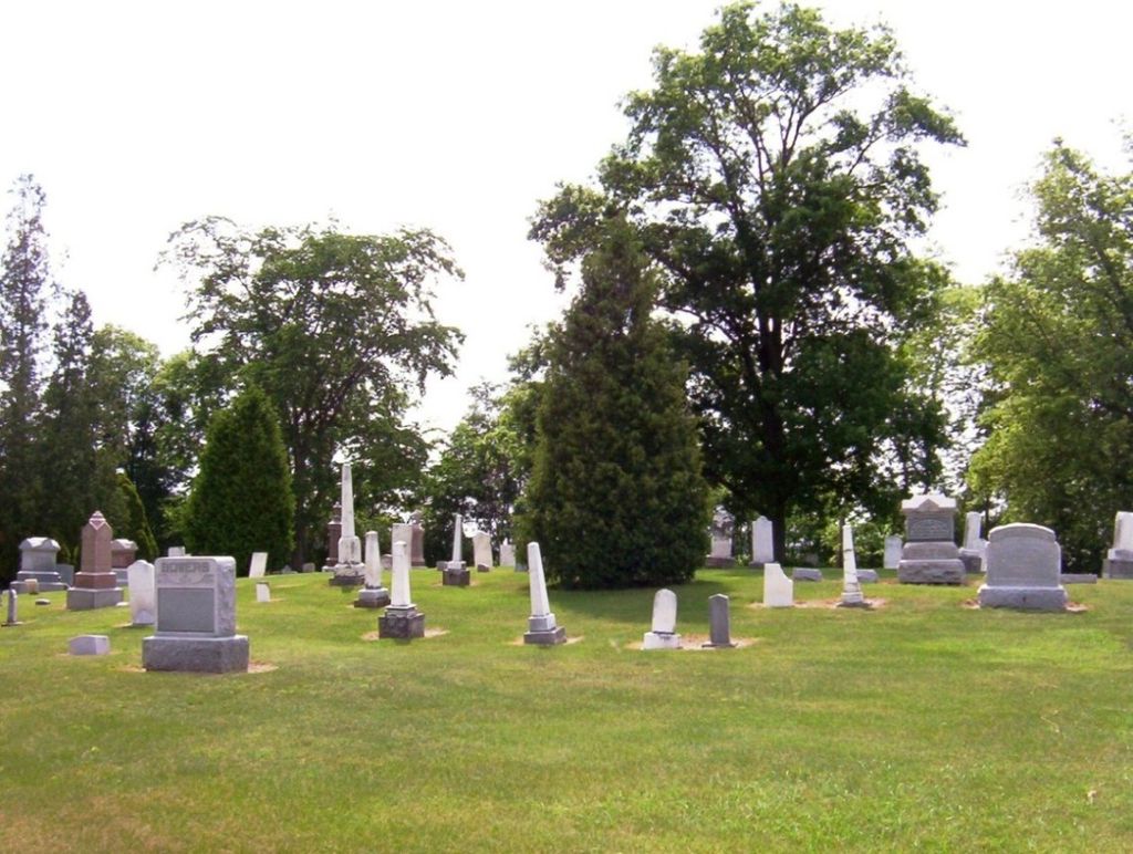
| Memorials | : | 9 |
| Location | : | Perry Township, Wood County, USA |
| Coordinate | : | 41.2133860, -83.4721490 |
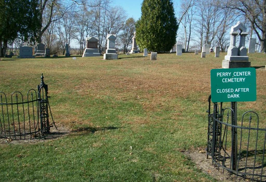
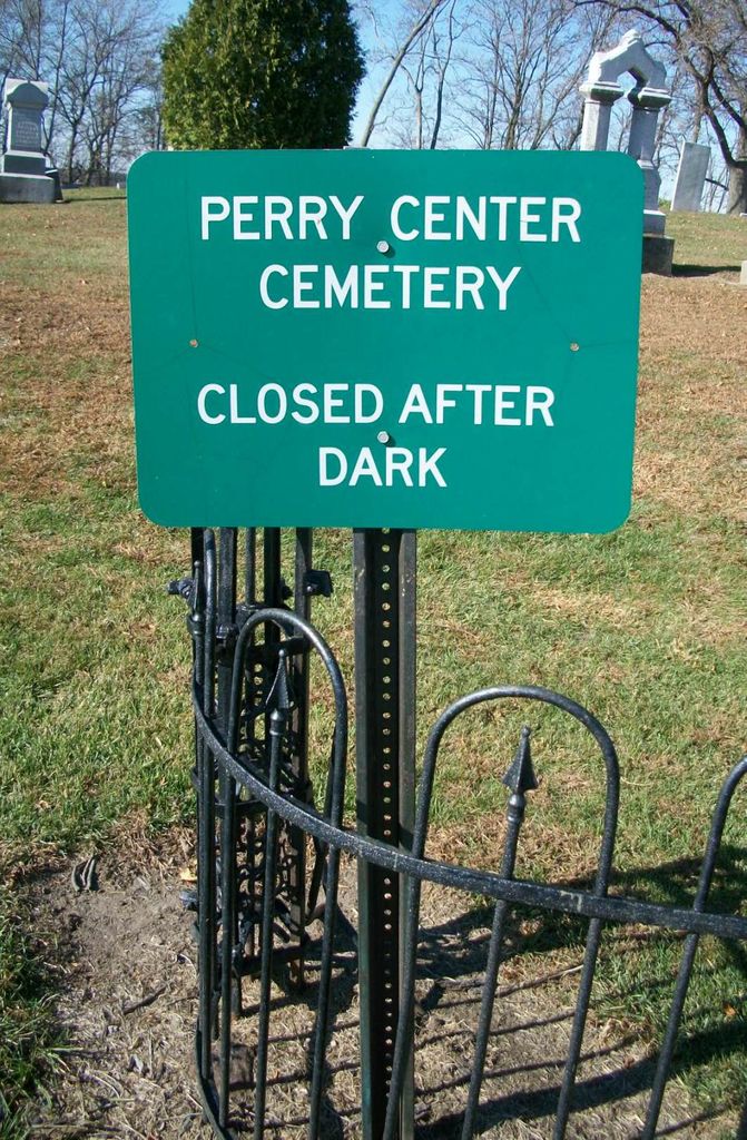
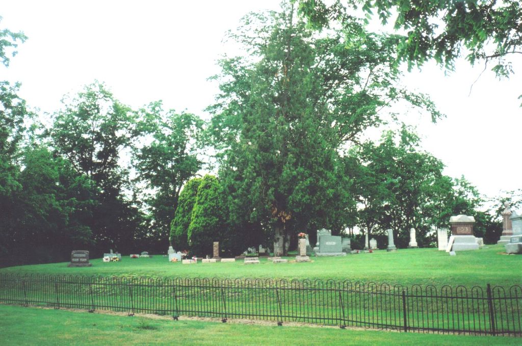
| Description | : | The cemetery is located on the northwest side of Eagleville Road (County Road 34) about 0.4 miles east of its intersection with Baird Road (County Road 76). The cemetery is located in Perry Township, Wood County, Ohio, and is # 12887 (Perry Center Cemetery) in “Ohio Cemeteries 1803-2003”, compiled by the Ohio Genealogical Society. The cemetery is registered with the Ohio Division of Real Estate and Professional Licensing (ODRE) as Perry Center with registration license number CGR.0000980922. The U.S. Geological Survey (USGS) Geographic Names Information System (GNIS) feature ID for the cemetery is 1731441 (Perry Center Cemetery). |
frequently asked questions (FAQ):
-
Where is Perry Center Cemetery?
Perry Center Cemetery is located at Eagleville Road (County Road 34) Perry Township, Wood County ,Ohio , 44830USA.
-
Perry Center Cemetery cemetery's updated grave count on graveviews.com?
7 memorials
-
Where are the coordinates of the Perry Center Cemetery?
Latitude: 41.2133860
Longitude: -83.4721490
Nearby Cemetories:
1. Riverview Cemetery
West Millgrove, Wood County, USA
Coordinate: 41.2403183, -83.4954071
2. Mennonite Cemetery
Perry Township, Wood County, USA
Coordinate: 41.2531100, -83.5279800
3. Fountain Cemetery
Fostoria, Hancock County, USA
Coordinate: 41.1641998, -83.4302979
4. Saint Wendelin Catholic Cemetery
Fostoria, Hancock County, USA
Coordinate: 41.1618996, -83.4321976
5. Vickers Cemetery
Washington Township, Hancock County, USA
Coordinate: 41.1585999, -83.5074997
6. Dysinger Cemetery
Seneca County, USA
Coordinate: 41.2263985, -83.3863983
7. Graham Cemetery
Wayne, Wood County, USA
Coordinate: 41.2882996, -83.4655991
8. Mount Zion Cemetery
Wayne, Wood County, USA
Coordinate: 41.2668300, -83.5445600
9. Wells Family Cemetery
Arcadia, Hancock County, USA
Coordinate: 41.1225482, -83.4785878
10. Bloom Chapel Cemetery
Bairdstown, Wood County, USA
Coordinate: 41.1875000, -83.5888977
11. Loudon Township Cemetery
Fostoria, Seneca County, USA
Coordinate: 41.1353300, -83.3874200
12. Zion Lutheran Cemetery
Jackson Township, Seneca County, USA
Coordinate: 41.1811600, -83.3432600
13. Arcadia Cemetery
Arcadia, Hancock County, USA
Coordinate: 41.1100006, -83.5100021
14. Weaver Cemetery
Bairdstown, Wood County, USA
Coordinate: 41.1838989, -83.6093979
15. Jerry City Cemetery
Jerry City, Wood County, USA
Coordinate: 41.2580986, -83.6050034
16. Trinity Cemetery
Girton, Sandusky County, USA
Coordinate: 41.2775002, -83.3503036
17. Bradner Cemetery
Bradner, Wood County, USA
Coordinate: 41.3267403, -83.4177170
18. Chestnut Grove Cemetery
Scott Township, Sandusky County, USA
Coordinate: 41.3268590, -83.4171130
19. Knollcrest Cemetery
Arcadia, Hancock County, USA
Coordinate: 41.0997360, -83.5316490
20. Whitacre Cemetery
Cygnet, Wood County, USA
Coordinate: 41.2403110, -83.6322990
21. Stony Barter Cemetery
Bloom Center, Wood County, USA
Coordinate: 41.1824760, -83.6314430
22. Sheller Cemetery
Seneca County, USA
Coordinate: 41.0980988, -83.4024963
23. Saint John's United Church of Christ Cemetery
Fostoria, Seneca County, USA
Coordinate: 41.1036570, -83.3646250
24. Baker-Hamblin Cemetery
Findlay, Hancock County, USA
Coordinate: 41.0983340, -83.5734660