
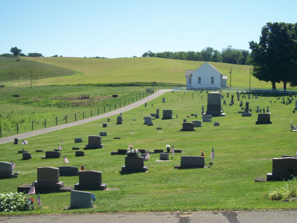
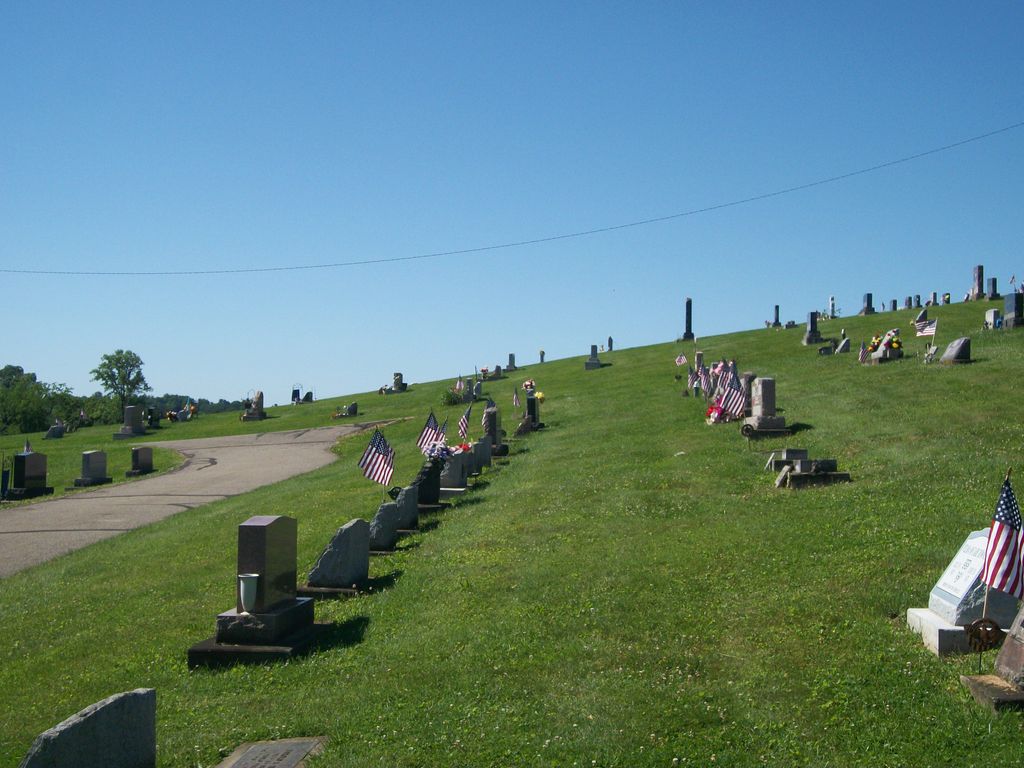
| Memorials | : | 150 |
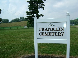
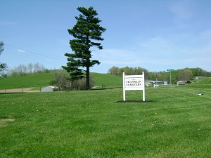
| Location | : | Franklin, Coshocton County, USA |
| Coordinate | : | 40.2000008, -81.8460999 |
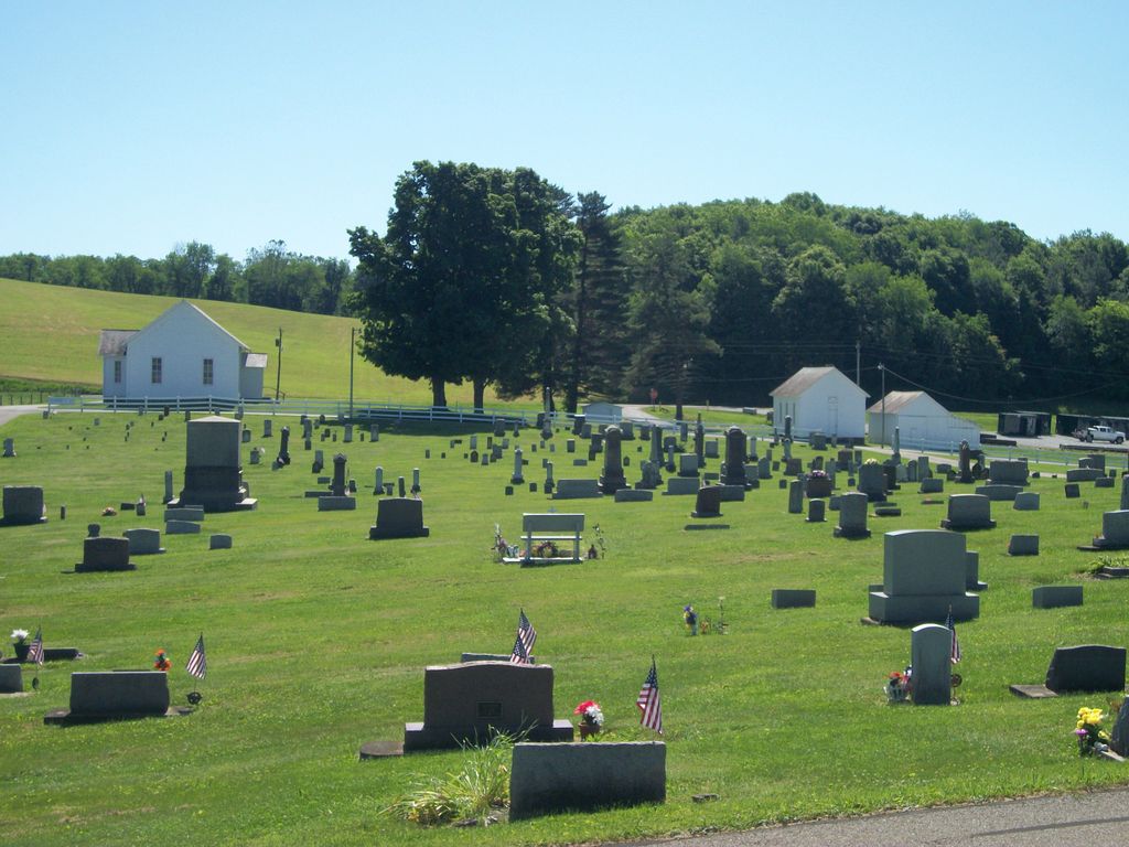
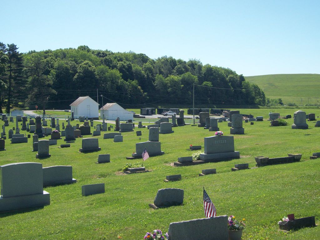
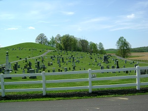
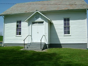
| Description | : | The cemetery is located on the west side of Township Highway 479 about 250 feet west of its intersection with Ohio State Route 83 The cemetery is located in Franklin Township, Coshocton County, Ohio, and is # 2234 (Franklin Methodist Protestant Church Cemetery / Franklin Cemetery) in “Ohio Cemeteries 1803-2003”, compiled by the Ohio Genealogical Society. The U.S. Geological Survey (USGS) Geographic Names Information System (GNIS) feature ID for the cemetery is 1074762 (Franklin Cemetery). |
frequently asked questions (FAQ):
-
Where is Franklin Cemetery?
Franklin Cemetery is located at Township Highway 479 Franklin, Coshocton County ,Ohio , 43812USA.
-
Franklin Cemetery cemetery's updated grave count on graveviews.com?
29 memorials
-
Where are the coordinates of the Franklin Cemetery?
Latitude: 40.2000008
Longitude: -81.8460999

Nearby Cemetories:
1. Littick Cemetery
Franklin, Coshocton County, USA
Coordinate: 40.1991870, -81.8416490
2. Bethany Cemetery
Wills Creek, Coshocton County, USA
Coordinate: 40.1852989, -81.8591995
3. Royers Chapel Cemetery
Wills Creek, Coshocton County, USA
Coordinate: 40.1850014, -81.8319016
4. Saint Pauls Cemetery
Coshocton County, USA
Coordinate: 40.2103004, -81.8208008
5. Davis Cemetery
Conesville, Coshocton County, USA
Coordinate: 40.2154312, -81.8808899
6. Our Lady of Lourdes Cemetery
Wills Creek, Coshocton County, USA
Coordinate: 40.1909870, -81.8048660
7. Tyndall Cemetery
Coshocton County, USA
Coordinate: 40.2167015, -81.8843994
8. Pine Ridge Lutheran Cemetery
Conesville, Coshocton County, USA
Coordinate: 40.1694320, -81.8118390
9. William Robinson Family Cemetery
Conesville, Coshocton County, USA
Coordinate: 40.1808014, -81.9008026
10. Mount Zion Cemetery
Coshocton, Coshocton County, USA
Coordinate: 40.2344017, -81.8035965
11. Wilcox Cemetery
Adams Mills, Muskingum County, USA
Coordinate: 40.1510000, -81.8405000
12. Saint Johns Lutheran Church Cemetery
Coshocton, Coshocton County, USA
Coordinate: 40.2103200, -81.7796000
13. South Lawn Cemetery
Coshocton, Coshocton County, USA
Coordinate: 40.2560997, -81.8597031
14. Maysville Methodist Church Cemetery
Muskingum County, USA
Coordinate: 40.1545200, -81.8006800
15. Sturtz Cemetery (Defunct)
Adams Mills, Muskingum County, USA
Coordinate: 40.1447000, -81.8680000
16. Saint Marys Catholic Cemetery
Plainfield, Coshocton County, USA
Coordinate: 40.2011300, -81.7639850
17. Warner Methodist Cemetery
Conesville, Coshocton County, USA
Coordinate: 40.2389520, -81.9109620
18. Pepper Cemetery
Conesville, Coshocton County, USA
Coordinate: 40.1992870, -81.9336780
19. Christian Chapel Cemetery
Coshocton County, USA
Coordinate: 40.2271470, -81.9263480
20. Zion Lutheran Church Cemetery
Adamsville, Muskingum County, USA
Coordinate: 40.1333008, -81.8360977
21. Titus Cemetery
Adams Township, Muskingum County, USA
Coordinate: 40.1427994, -81.8955994
22. Marquands Mills Cemetery
Plainfield, Coshocton County, USA
Coordinate: 40.1557250, -81.7754581
23. Adams Cemetery
Adamsville, Muskingum County, USA
Coordinate: 40.1356010, -81.8818970
24. Coshocton County Infirmary Cemetery
Coshocton, Coshocton County, USA
Coordinate: 40.2694450, -81.8166500